
Walk 23: The Paper Trail
I had originally planned this route as a Boxing Day walk, but in the build up to Christmas I took on a temp role, working nights in a print factory (as much as I love Walk Tonbridge, it doesn’t pay the bills yet!). Normally the small hours are the time I dedicate to my writing, but during December my evenings were spent elbow deep in photo books.
As the machinery whirred and hummed around me, I was charged with helping piece together the millions of memories collated from weddings, big birthdays, holidays of a lifetime and blossoming romances. Whilst I ploughed through my work load I would often wonder what the old papermakers would have made of the new technology that todays printers have at their fingertips - it was light years away from the old mill that I stumbled across on this walk.
Now that the decorations are down and I’ve served my time on the factory floor, my diary is a little quieter, which hopefully means there is more time for walking and of course writing. I’m starting 2022 off with this route, which I think is a cracker (perhaps a bit late for that Christmas pun), I hope you think so too. Happy New Year.

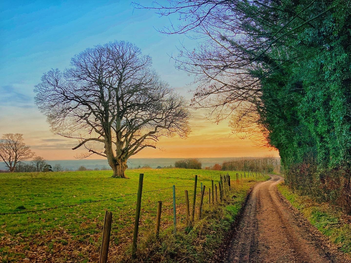
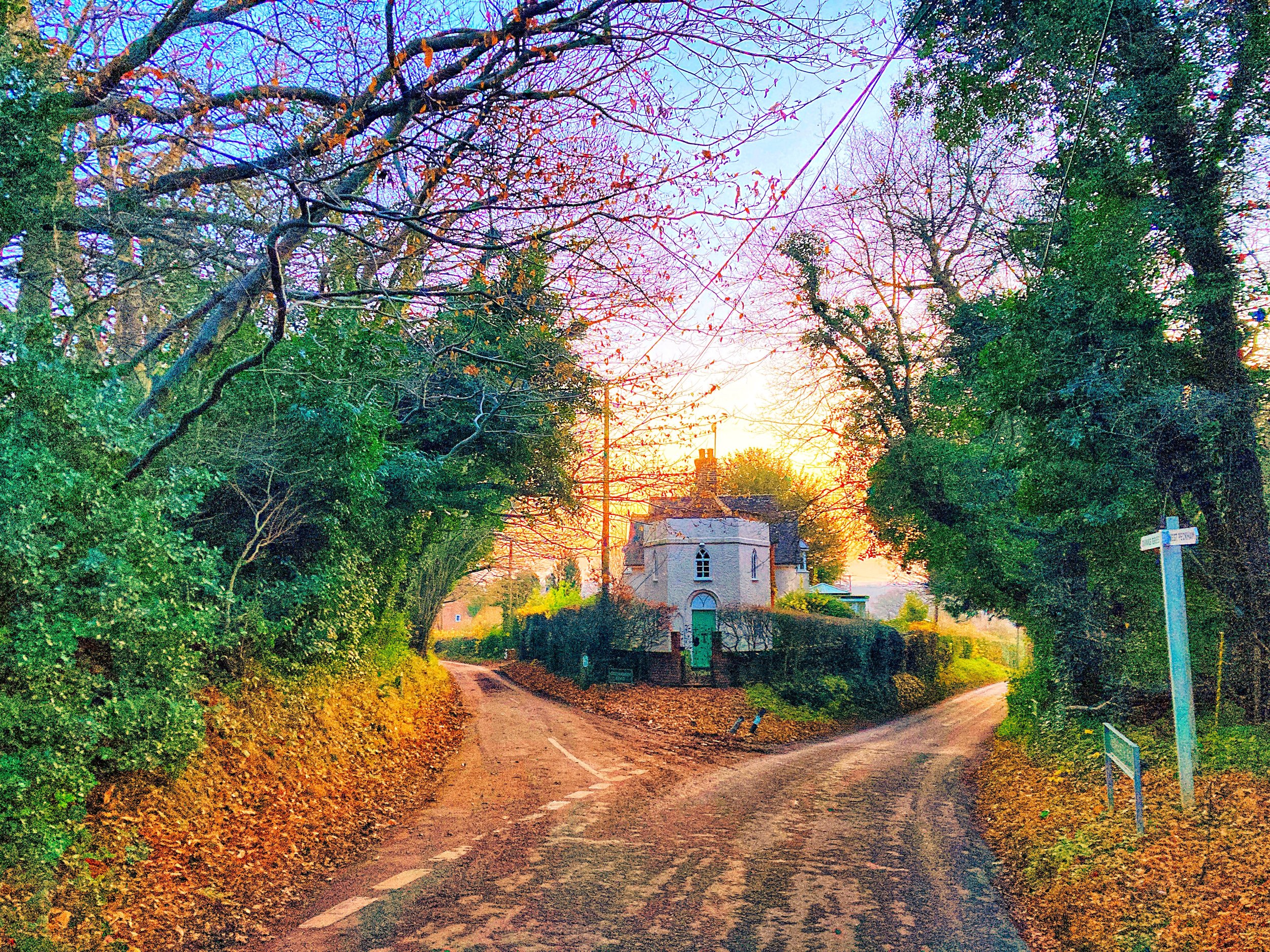
Begin your walk at The Kentish Rifleman, Dunks Green. Turn right out of the pub and walk downhill along Roughway Lane with care.
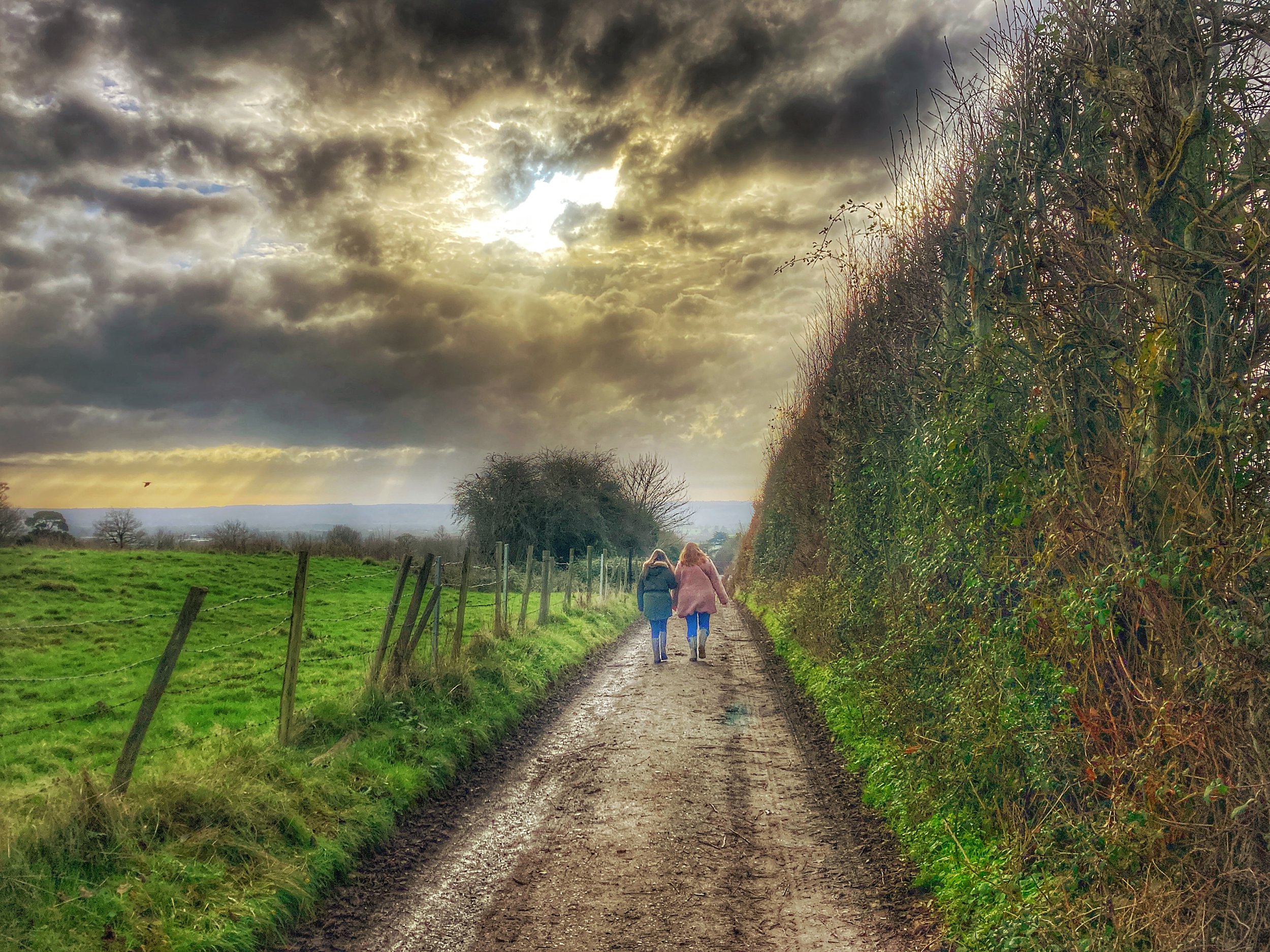
Walk past the trio of attractive cottages and then follow the lane for approximately 100 metres more until you see a path on your left leading through the hedge.
After a short distance, the path will run parallel with a deep stream - there are no barriers here so take care and supervise any children or pets that are walking with you.

Walking past the River Bourne, a former mill stream
This canalised section of water is actually part of the River Bourne - a short, narrow river that runs from Ightham to the Medway. If you're up on your local Geography or have followed one of my earlier walks, 'The Darling Buds', then you will know that 'Busty' was once home to 11 watermills.
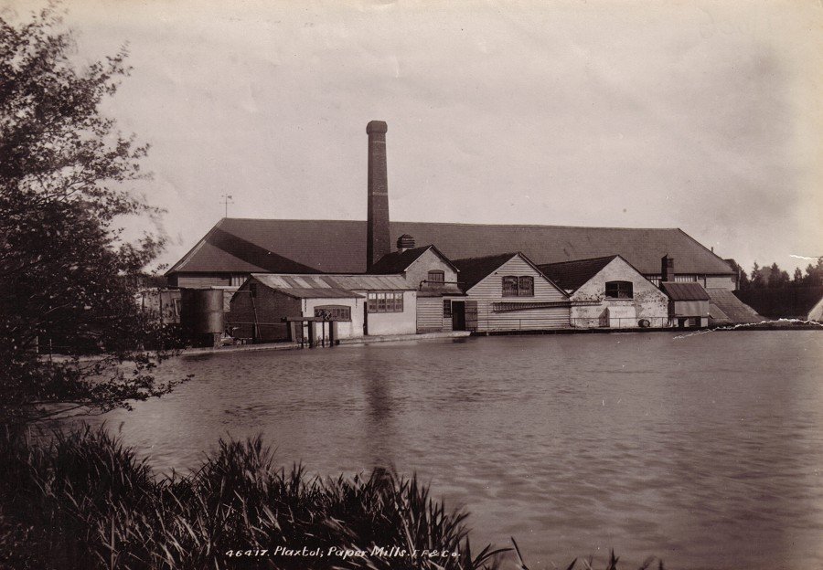
The mill stream that you are walking past now, belonged to the old Roughway Paper Mill. This area has been home to a mill since as far back as 1497, but it's most recent history dates to 1807 when it began producing watermarked paper for the early £5 notes.
'Paper money' had been around for a while but it was only really used by the super rich. Smaller notes didn't become a thing until 1759. Britain was at war with France once more, and banks found themselves struggling to keep up with the demands of nervous customers, looking to empty their savings accounts and keep their gold under the safety of their own mattress. As gold reserves began to run worryingly low, the bank responded by issuing ten, and later five, pound notes, which were issued as IOY's in lieu of shiny coins. At first, the bank notes were handwritten, but as technology advanced, they began to be printed onto watermarked paper.
It's not clear just how involved Roughway Mill was in the production of these early bank notes, but what is well documented is the outstanding contribution their watermarked paper has made to the world of philately - perhaps better known as the study and collection of postage stamps (remember that for your next pub quiz!)
Roughway paper mill in its prime (Pic. taken from the Kentish Rifleman website)
Between the 1870's and the mill's closure in 1912, the mill was responsible for making and supplying stamp paper for De La Rue. At the time De La Rue was in charge of printing and distributing postage stamps not only for Britain, but also its many colonies and territories that were then scattered across the globe. From this sleepy hamlet, hidden away in the countryside near Tonbridge, thousands, if not millions of stamps began their long journey to Sudan, Egypt, India, Australia, The Caribbean and The South Pacific, amongst many others.
Each stamp required its own unique watermark, which had to be painstakingly woven into the paper. The process behind creating this special feature was a lot longer and more technical compared to modern day printing methods. Back then it would take 6-8 weeks before the watermarked paper was ready to cut and pack.
The process was exceptionally thorough with no room for error. The mill would have employed a small army of local workers, producing rolls of paper that were up to 3/4 mile long - more than the distance from here to the Rifleman!

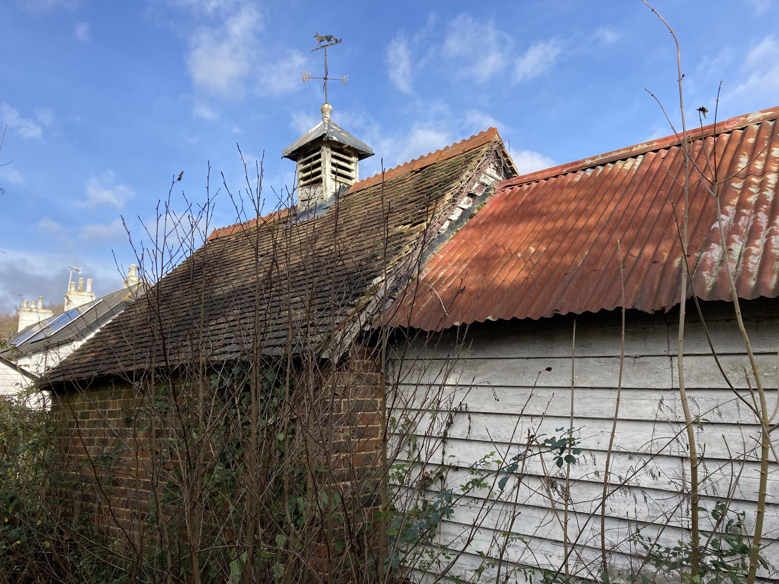
The remains of the old mill site, December 2021
Roughway Mill closed in the 1920's but the production of stamp paper continued at nearby Basted Mill until the 1960's. The remains of Roughway mill burnt down in 1997, destroying the iconic factory chimney, but some of the old buildings still linger, albeit ravished by time and nature.
Part of the old site is now inhabited by Electra Polymers, who have continued the tradition of light industry in Roughway, creating printed circuit boards that are exported all over the world. You can read more about the history of Roughway Mill and the intricate paper making process here.
Continue through the wooden gate and then walk onwards through the field, heading for the right hand corner. The Bourne barely seems to flow here, making it a swampy habitat for the clumps of aquatic plants that can be spotted floating lazily on the surface.

No wet feet here…
Leave the field via the submerged wooden bridge that sits marginally above the marshy waters below. Walk across the next set of planks and then continue across the boggy field, tracing the path until you reach a kissing gate.
Go through the gate then immediately turn right, walking over the bridge and up the lane - do not climb the stile opposite! After 150 metres the lane will bend round to the left. At this point, continue straight on, following the path along a driveway that runs between two hedges.
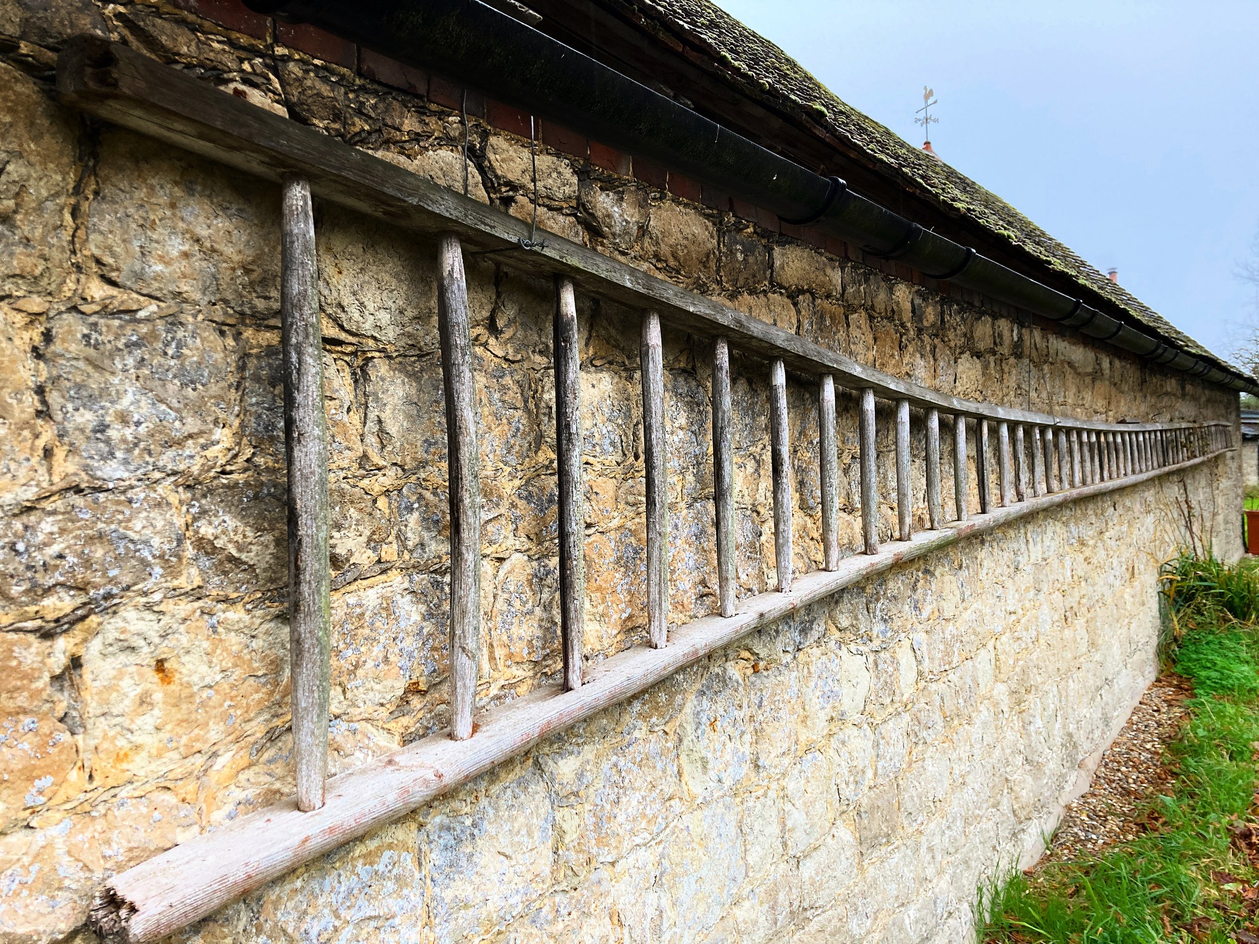
You’ll pass Allen’s Farm, a trio of decapitated oasts, accompanied by a beautiful ragstone barn. The long ladder hanging on the side of the barn may be a nod to Roughways hopping heritage. If you're an eagle eyed telly-addict, you will possibly recognise this picturesque rural residence as a filming location for television shows 'The Cleaner' and 'The Third Day'. Allen’s Farm is not just a pretty filming location though, it’s also a site of significant historic interest. Just a short distance South of the farm, in the surrounding orchards and fields, archaeologists discovered the remains of several Roman buildings.

Allen’s Farm, Plaxtol, once the site of a Roman dwelling
These historic finds were quite literally unearthed in Victorian times, when Mr Martin, the then farmer ploughed up his earth to reveal the substantial footprint of a Roman residence. Upon excavation, by one Major Luard (There’s not enough time to side-track into his story, but perhaps that’s one we can explore on a another walk!), it became apparent that that this was a Roman bath house. The leisure complex, showcased all of the ingenuity and class that history has come to associate with Britain’s most sophisticated invaders. Users of the bath house would have begun their experience by slipping off their togas in a tiled changing room, before working their way through a series of warm, hot and cold rooms, whilst interchanging between hot and cold baths. Underfloor heating would have taken the edge of the cold winter months, and a furnace fired central heating system would have kept the bath water toasty. The discovery of game pieces, suggested that the bath house users would have been able to enjoy a little fun in between dips, socialising and playing with their fellow guests.
In addition to the bath house, Major Luard also oversaw the excavation of a tile kiln and farm house that were on the same site, as well as a Roman burial ground in nearby Plaxtol. These digs were followed up over 200 years later by the Kent Archaeological society, who found evidence of another Roman villa around 600 metres North of here, alongside evidence of old Roman tracks.
Little remains of the original dig as farmer Martin sold off the buildings stone to be used for road making, there were however some notable artefacts that survive to this day. One of these is a perfectly preserved bronze statuette of the Roman Goddess Minerva. It is estimated to date back to the second century, if not earlier. Minerva was worshipped by the Romans as Goddess of victory, but is also said to have been idolised by tradesmen, as she was a patron of the arts. Although the little Roman statuette has left the village for the safety of Maidstone museum, her spirit lives on in the village sign and the local schools emblem and vision.
If you would like to learn more about the the villa and the history of the Romans in Plaxtol then I would thoroughly recommend these archaeological reports compiled by Kent Archaeological Society. You can read about these here.

Roman goddess Minerva looks on over Plaxtol
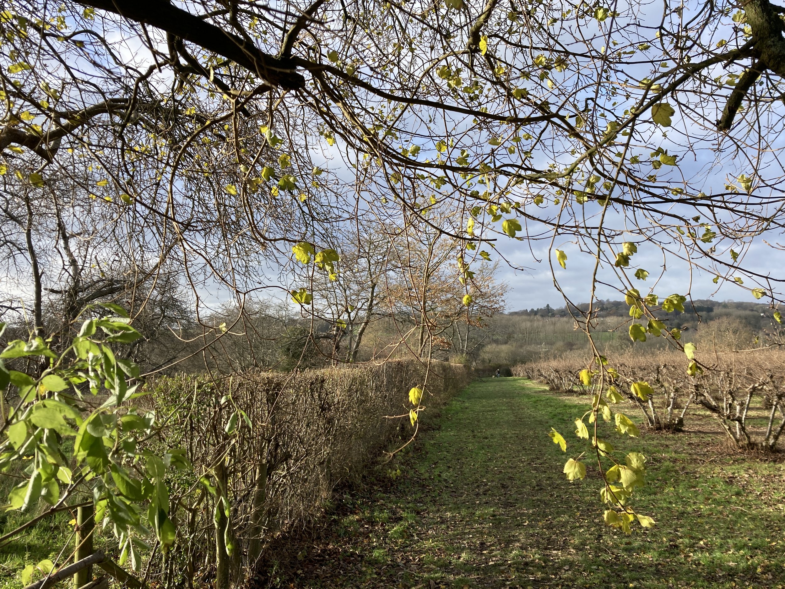
Continue straight on, parting with the gravelly driveway as you veer onto the grassy track that leads uphill to the left. When you reach the large wooden gate, continue to the left and follow the path into the orchard, or to use the correct term, platt. In the bare winter months, the untrained eye could easily be forgiven for assuming that these stout, knobbly trees would bear the most common Kentish crop - apples, these however these are actually cobnut trees.
Cobnuts are a variety of Hazelnuts. This particular type were originally cultivated in Kent, hence they are known as Kentish Cobnuts. This local delicacy only dates back to the 1800's but quickly gained popularity with the Victorians as they could be kept fresh for long periods. It is now the most common variety in the UK.
The cobs are only available for a short season and are typically ready to harvest between August and October. The first cobs are sold as seen, in their papery green husks. Its at this stage that the kernels are at their most ripe and juicy. Towards the end of the season, the husks turn a golden yellow/brown as the cobs flavour begins to mature. Once shelled though, the cobs can be stored for up to a year, so you can be sure to enjoy some at Christmas!
Here at Allens Farm, there are a total of 2700 trees, accounting for what is believed to be the biggest cobnut farm in the country. The current family of owners have been tending their cobs for over 100 years and even have the honour of a Royal Warrant, after supplying their cobnuts to the Royal kitchens.

A Kentish cob tree platt near Allen’s Farm
If you would like to try some cobnuts then you can order them directly from the farm or pick some up from one of our local farm shops. The nuts are as versatile as they are tasty and can be used in all sorts of recipes such as soups, salads and of course cake!
Continue onwards through the Plat, pausing at the top to look back and admire the view back to Plaxtol. In the distance you may be able to spot the square tower of the village church. You can read more about that on our walk ‘The Steeplechase’.
Go through the gate and then turn right following the path beside a field of poly tunnels. In winter these are stripped of their plastic coatings but you may be able to see the thousands of raspberry canes, trained and ready for Spring.
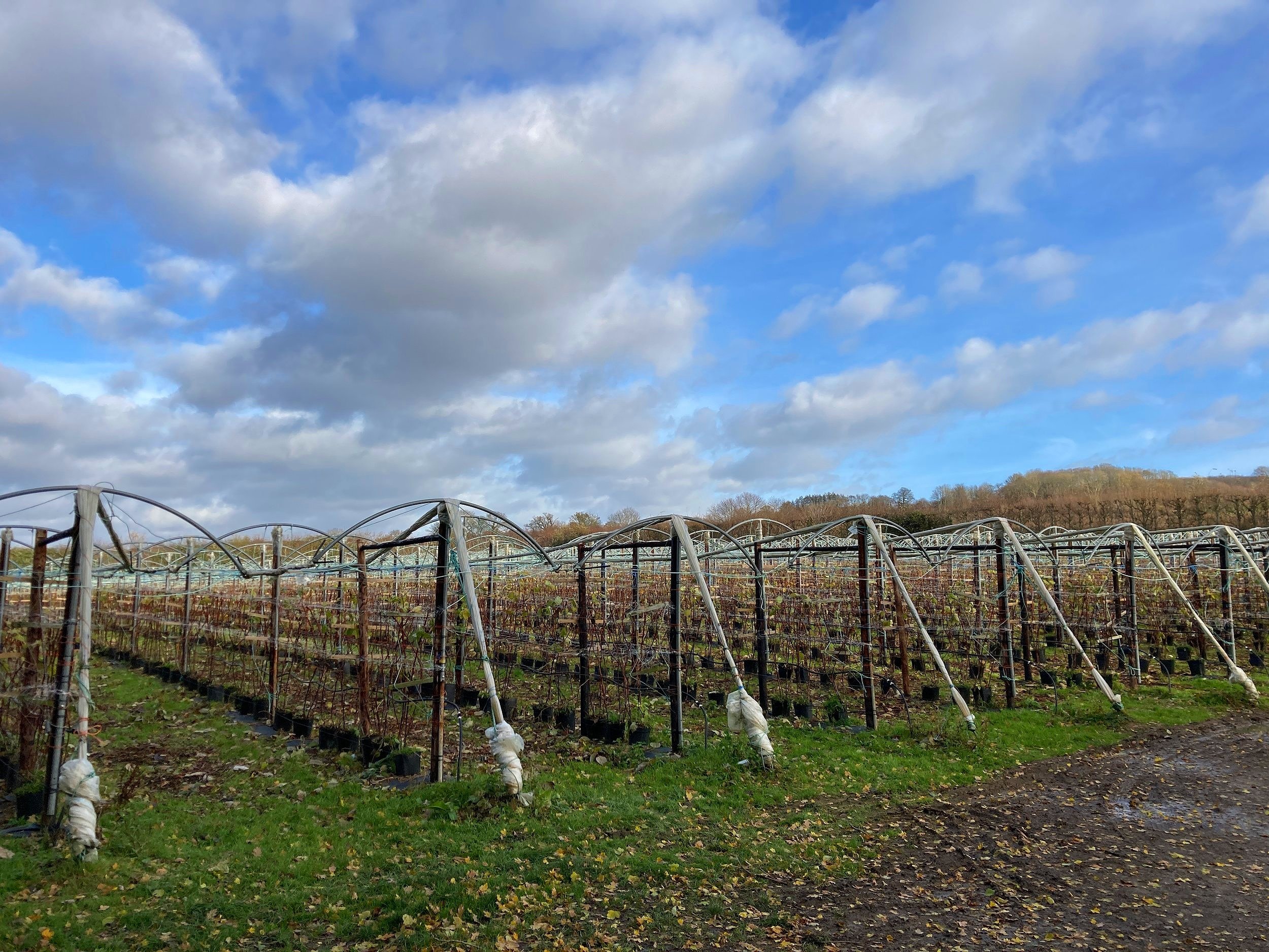
Raspberry canes, trained and ready for Spring
Follow the path round into the orchard and then continue along the hedge, heading towards the oast house at the end of the track. Just before the Oast, turn right and follow the stony track for 20 metres until you reach the lane.
Turn left, then follow this quiet lane uphill for approximately 780 metres. To the casual walker this ascent may be a little punchy, particularly after a week of festive cheer, but it’s fair to say that the viewpoints are as breath-taking as the upward climb.
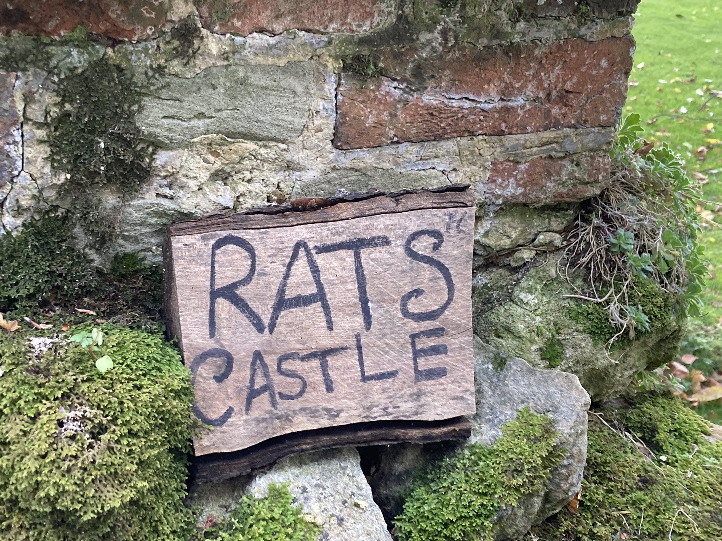
Towards the top of the hill you will come to an old Tudor house by the name of Rats Castle. When I spotted this curious named property on the map, I knew I had to visit - its name conjured up images of mediaeval ramparts and turrets, promising a wealth of tales. I would be lying if I said I wasn't a little underwhelmed upon setting eyes on this, after making the effort to walk to the top of this hill. As beautiful as the house is, it is by no means a castle!

Rats Castle, Roughway
Instead, the peculiar name comes from the builders that once lodged here, whilst they renovated another local property. At the time the house went by the name of Monks Place (after original owner Richard Munke) but after setting eyes on their rat infested digs, the workmen christened their temporary home 'Rats Castle'. The new name stuck, long outlasting the resident rats and the visiting builders. Today you will find a beautiful old house that is now a desirable home, albeit with an unusual name!
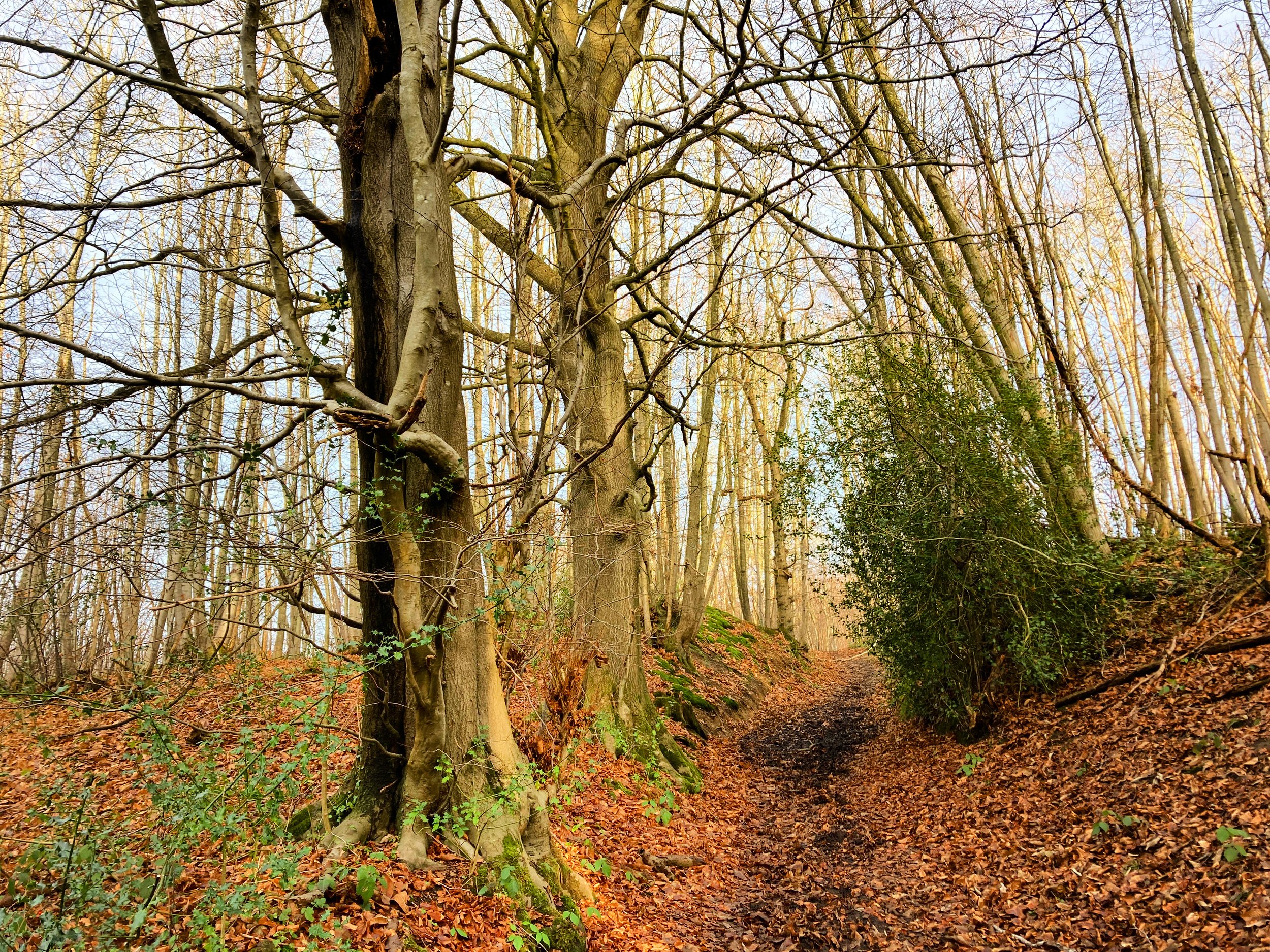
Carry on uphill and just after Rats Castle you will see a byway leading up the hillside on your left. Follow this leafy sunken passage as it carves a path through the ridge. The moss and bracken that cling to the steep banks give an indication as to how little sun reaches these parts when the tree canopy is in full bloom.
Continue to the top of the path and you will find yourself on a track straddling the Greensand Ridge. Across the fields you will be able to spy the North Downs, and as the view expands you will be able to glimpse the wrotham transmitter. At 176 metres (579 feet) tall, this imposing tower makes the list of the UK's tallest structures, slotting in just below St Marys Axe (The Gherkin). As well as acting as a useful landmark, the transmitter is responsible for sending the sounds of Radio 1, 2, 3, 4 and of course Radio Kent where you may have heard me broadcast across the airwaves!

Climbing up onto the Greensand Ridge
Turn right and follow this track for 180 metres until you come to a road. Cross over the road and follow the bridleway into the woods. This is a working forest so please stick to the path and be aware of your surroundings at all times.
You are now on the edges of Mereworth Woods, a huge expanse of woodland, coppices and scrub that spans all the way to Kings Hill. This walk will only touch on the fringes of the wood, but there are miles upon miles of paths you can explore.
The Eastern side of the woods, are occupied by a military site that originally began life as an ammunition depot in WW2. Since the end of the war, the site has been used as an army training site. Thankfully, the area is ‘dry’, so if you do find yourself wandering off course, you don’t need to worry about any stray bullets, as the trainees will only be firing blanks!

A coppice in Mereworth Woods
Continue straight on through the clearing. At the time of writing this walk, this section required some thought, to pass round the huge muddy puddles. I'm sure this will be much drier in the warmer months, but do take care as some of these puddles were very deep and at times this felt like a military training exercise of its own!
When you reach the cross roads, turn right and walk down the track. This section of path is part of the ‘Weald Way’, a long distance walking trail that runs all the way from Gravesend to Eastbourne, passing through the Ashdown Forest and our very own Tonbridge Castle en-route. The walk, which was established by Kent and Sussex Rambling groups recently celebrated its 40th anniversary.
Continue along this track, walking between the plantations. Stripped off their leaves, these twiggy trees add an atmospheric bleakness to this section of the walk.

Twiggy plantations in Mereworth Woods
Cross over the road with care and then continue along the path as it narrows to a ledge, running parallel with the road below. On a clear winter's day you’ll be able to see right across the valley, but this limited edition view will only be available once the trees have shed their leaves.
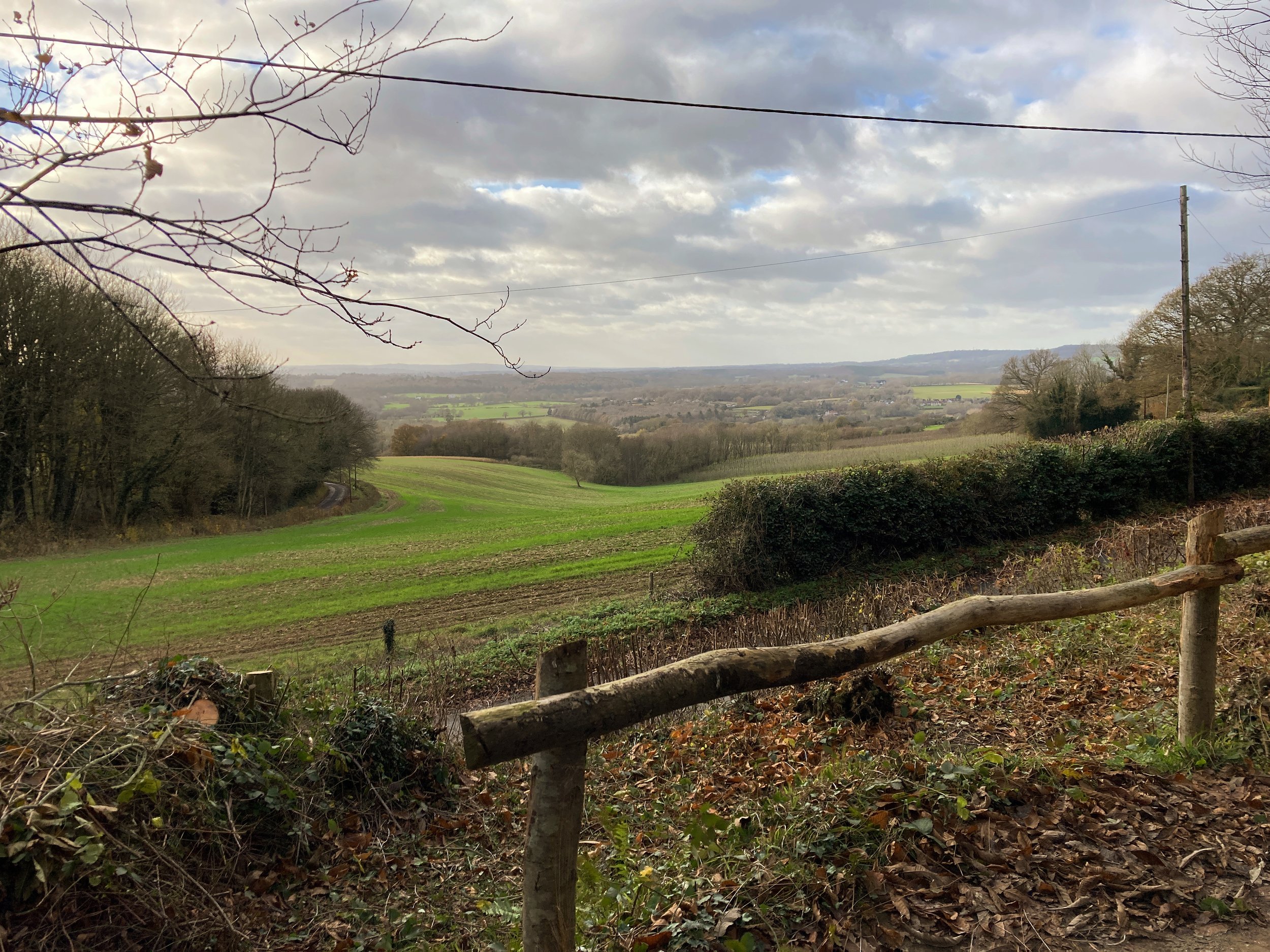
Walk on down Gowers Hill, as the plantation gives way to more mature woodland owned and managed by The National Trust. In Springtime this wooded hillside will be blanketed with Bluebells. Keep an eye out for the viewpoint tucked away on your right, there’s a well placed bench, so you can savour the view across the Bourne Valley and pause for a picnic.
When you reach the road, walk to the junction of Peckham Hurst Road with care and then cross over, taking the track to the left of the house.

The view from Gover Hill
Walk down the track, keeping the hedge to your right. This gorgeous south facing view is appreciated by another abundance of raspberry canes. Throughout the early summertime these will be laden with plump juicy berries, lapping up the heat of their polytunnels.
Polytunnels first arrived in the UK 1993, after being successfully used in Spain to grow lettuce and other winter salad crops. Within ten years they had revolutionised British agriculture - particularly the soft fruit growing sector. These temporary plastic ‘greenhouses’ removed the lottery element of the weather, allowing the growers to create and manage a micro-climate within their tunnels, that would protect their soft fruit from heavy rains, hail, bugs and anything else that a British summer might throw at them.
In the past crops like strawberries and raspberries could be wiped out by a bad storm or a snap cold spell, rendering the fruit unsaleable or at best making it destined for the jam factory. The use of tunnels like these gives farmers a much higher chance of producing premium fruit, that will survive not only the elements but the all important scrutiny of the supermarket buyers, that determine whether or not their crop will make it to the shelves. As well as boosting the reliability of the crop, the tunnels also increase the productivity of the harvest. There are no rainy days under the arches, enabling the fruit to be picked whatever the weather.

Water tanks near the raspberry planations
Despite the success of polytunnels, they are not without their detractors. Some critics argue that they are a blot on the landscape and also interfere with the natural waterflow by stopping rain from reaching the ground. There’s no denying the fact that these tunnels can be seen all the way from South Tonbridge, but the farmers would argue that without them there would be no business and no farm.
Walk past the water tank and then after the standpipe continue for another 180 metres. At the bottom of the track you will reach a cross roads. Turn right, following the blue arrow as the path leads you directly past the end of the rows of polytunnels.
Keep walking until you reach the left hand corner of the field. Walk along the path, then down the slope (or steps) until you reach the road. Turn left and walk down the road for 40 metres before taking the track on your right. You may clock the pretty looking little cottage that straddles the fork in the road - although this little property lacks in size compared to Rats Castle, it more than holds its own in the fairy tale stakes!

A fairy tale cottage straddling the fork in the road
Climb over the stile and then continue along the track for 50 metres before turning left down the grassy footpath. This is very slippery when wet so do take care. It's not quite on the same scale as the infamous 'Penshurst walk' which had our walkers slip sliding down a steep hill last Boxing Day, but caution is advised.
Follow the path downhill past a beautiful converted oast house, then continue round the edge of the fence as you head down into the dip. Having walked this section of the route with my two noisy children, I can confirm that there is a fabulous echo here in this little hollow.
Continue round the edge of the field and then cross the ditch before walking towards the right hand corner of the field and the tall trees. In the winter months you will be able to spot clumps of mistletoe clinging to the branches.
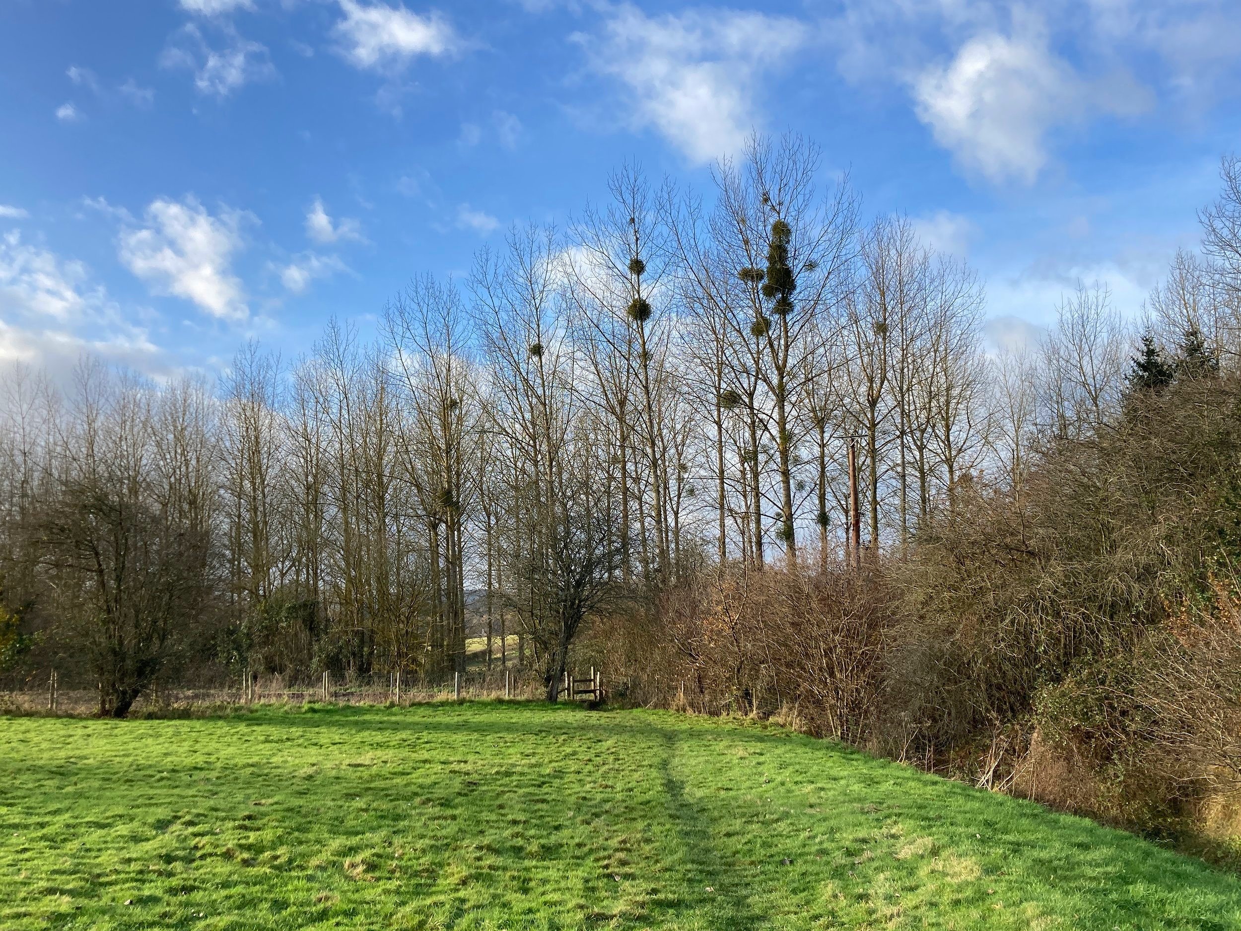
Mistletoe clinging to the treetops
Climb the stile and then turn right, walking along the muddy path for approximately 30 metres before taking the path on your left. This leads you through a short section of enchanting pine forest, before emerging into an open field.
Walk uphill through the field and then when you reach the top, pause to admire the view. Turn right and follow the path uphill between the field and the hedge until you enter an apple orchard.
Walk straight on and when the track bends to the right, take a diagonal left, following the path between the rows of fruit trees until you reach the hedge. Go through the gap in the hedge and then cut diagonally across the field before following the track round to the left and out of the far left-hand corner of the field.

Returning to Dunks Green
Climb the stile and then turn left, following the lane with care underneath the row of old cottages. I can’t be sure, but I like to believe that these were once home to some of the papermakers all those years ago.
Continue along the lane, crossing the River Bourne once more and then retrace your steps back round the lane to The Kentish Rifleman.
This wonderful country pub is a firm favourite of ours and the local community it supports. Whether you are in the cosy bar in winter or the attractive gardens in summer, you can expect a good selection of local ales, gins and tasty home cooked food. If you visit in the summer months, you will more than likely get the chance to taste some of the delicious raspberries that you have seen growing along the route today.
Acknowledgements
Thank you to Plaxtol Historical Society for providing so much useful information about the local area.
Thank you to the Kentish Rifleman for supporting the Walk Tonbridge Festival and the work they have done for our festival charity Sustain.
Lastly a big thank you to the ‘papermaker’ that threw me a lifeline in time for Christmas.