
Walk 20: The Drover
Around this time last year I had planned to be holidaying in Deia, Northern Majorca. We’ve never been before, but it was an Easter deal that was too good to refuse and we were sold on a much needed holiday in the Spring sunshine.
As covid ripped through Europe though, my daydreams of wandering sleepy mountain hamlets colonised by artists quickly disintegrated as our holiday plans, along with my job as a travel agent, were put on ice.
We’ve promised ourselves that we will get there one day, but until then I’ve found my own piece of Deia here in Kent. A rugged cliff top path with far reaching views, leading to peaceful village that was once loved by artists, rock stars and celebrity chefs. The local taberna even serves a decent Spanish wine.
Unlike my April fools prank at the start of the month, this is the real deal, so if you are pining for an escape, then pack your walking shoes and sunglasses and lets take a tour of Underriver and the Greensand Ridge.

Begin your walk at The Chaser Inn, Shipbourne. There is normally a parking space to be found on the common opposite.
Upon leaving the pub turn left into St Giles car park and walk through the churchyard. This old church was built by Edward Cazalet, the first of his dynastic family to settle in Shipbourne. You can read a bit about the history of the church and the Cazalets on The Long Way Home, another of our walks.

St Giles Church, Shipbourne
Walk through the gate and then turn right before climbing the stile and following the path through the staked trees. After 100 metres climb two more stiles and then follow the path between two fences. In springtime branches laden with blossom dangle above the pathway.
Go through the next gate and climb another stile before following the track to the right, heading towards the cricket pavilion, home of Shipbourne Cricket Club. The club was established in 1860, making it one year older than the village church and one of the oldest clubs in Kent. Part of the Fairlawne Estate, this pretty ground is also known as the Fatting Pen field, named after the woods that sit on the hill above.

Blossom laden branches
Back in Saxon times farmers would have driven their pigs into the woods that once covered the whole of the Weald. Each Autumn their hogs would feast on the acorns and beechmast that littered the ground, fattening them up ready for slaughter. The clearings at which the pigs grazed were known as 'dens', each of which belonged to a different manor, often many miles away. Over time the dens became established as farms and hamlets in their own right, hence local place names such as Hildenborough, Haysden and Marden etc.
The pig farmers would pay a fee to the manor that owned the woods, for the privilege of letting their animals roam there. The amount of tax paid would depend on how many pigs were foraged, the size of the wood and how much mast (acorns, hazelnuts, beech mast) had fallen that Autumn.
Fatting Pen woods can be seen in the distance
When the Normans invaded, they called this practice pannage and the term has stuck ever since. As the settlements grew up in the Weald Pannage was quickly replaced by other types of farming and large chunks of the forest were cleared in the process. Pigs have been banned from foraging in Kent for over 700 years but this ancient right is still exercised in the New Forest.
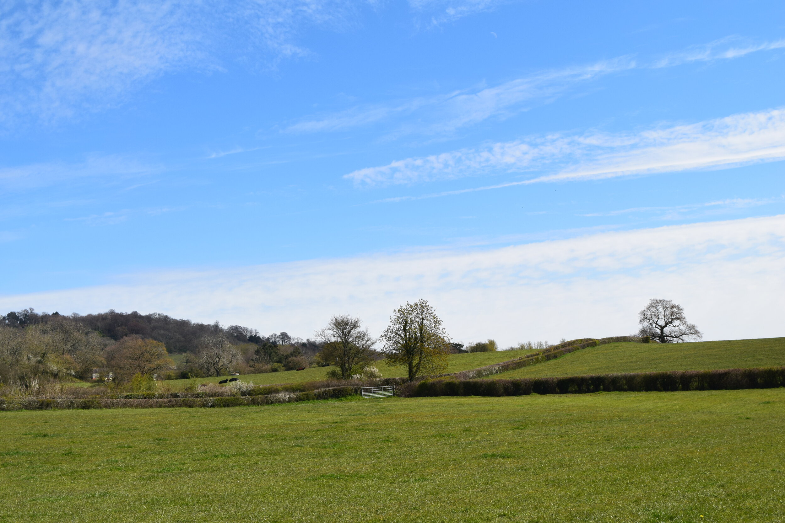
Cross the stream and as the track turns right into the cricket ground, continue straight on and follow this uphill as you walk past a large field, and under two large oak trees.

Looking back to St Giles church, Shipbourne
This first climb of the walk is a little punchy but rewards you with beautiful views over the cricket pitch and back towards St Giles Church. This sampler gives you a taste of what is yet to come.
Climb the stile at the top of the field and continue straight on, crossing a driveway and then passing through the wooden gate. Continue straight on and after 150 metres turn left through a five bar gate.
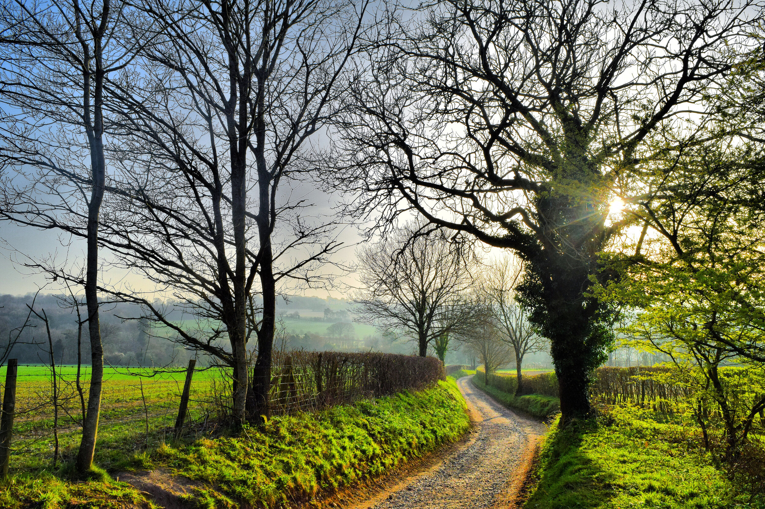
The path leads you down a sunken lane running between two large fields. Flanked by tall hedges, you become absorbed into the landscape as you head towards the steep hill on the horizon.

Follow the lane for around 650 metres as it rolls up and down the contours of the landscape. Come Autumn, these tightly packed hedgerows will be brimming with sloe and haw berries as the foraging season reaches its peak.
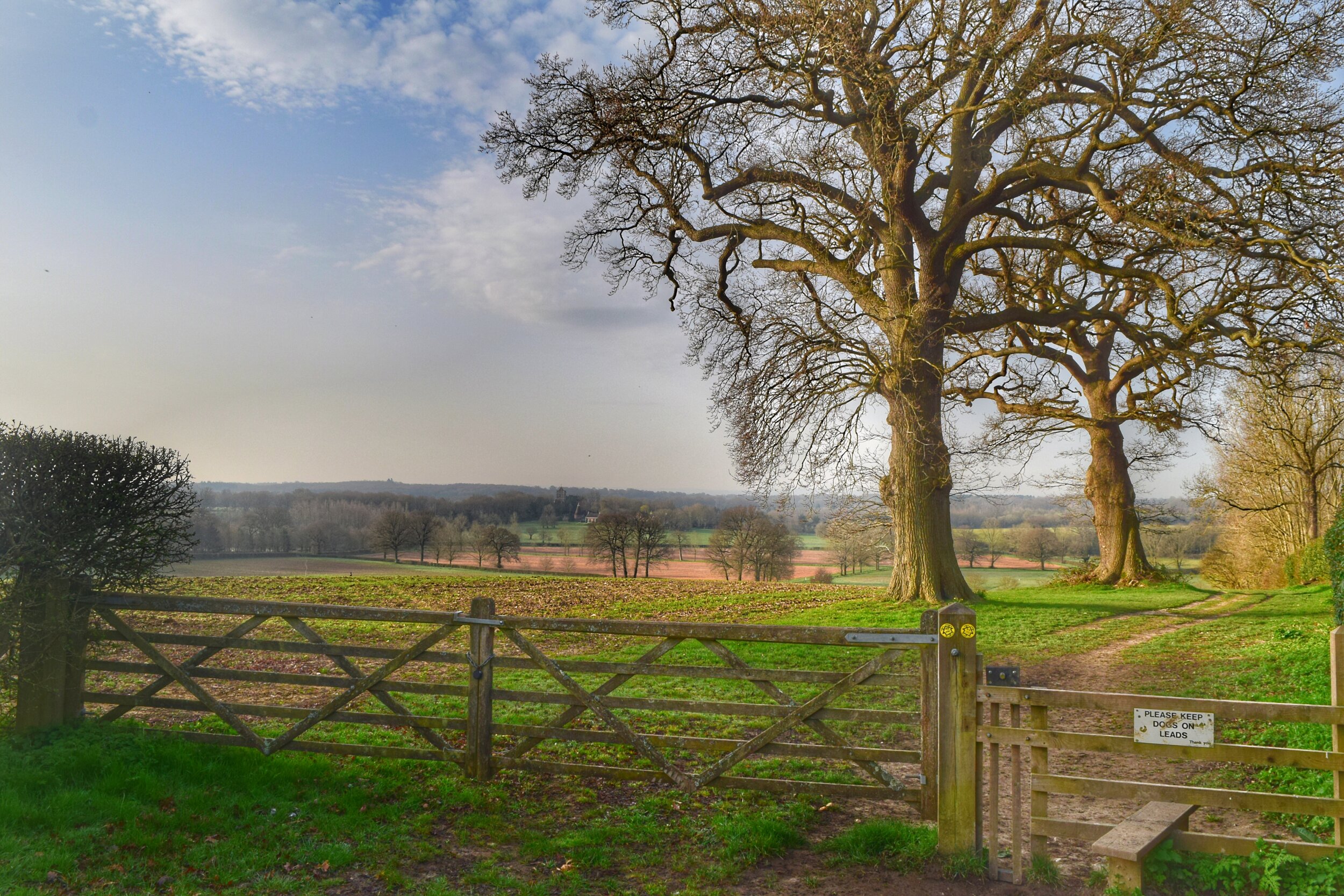
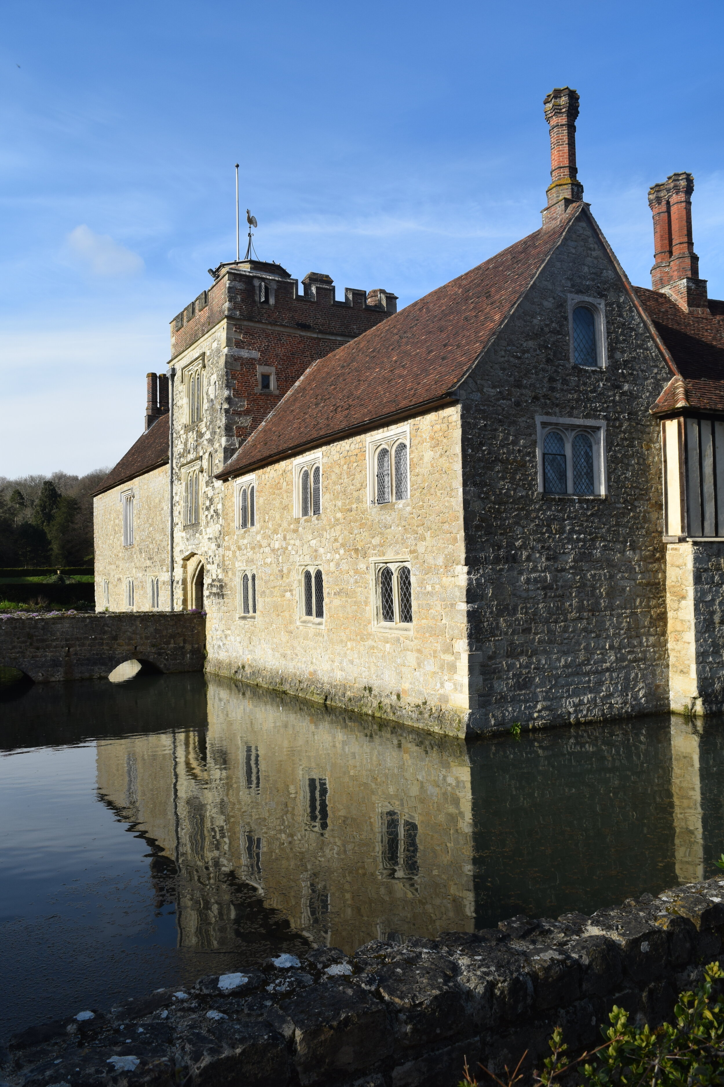
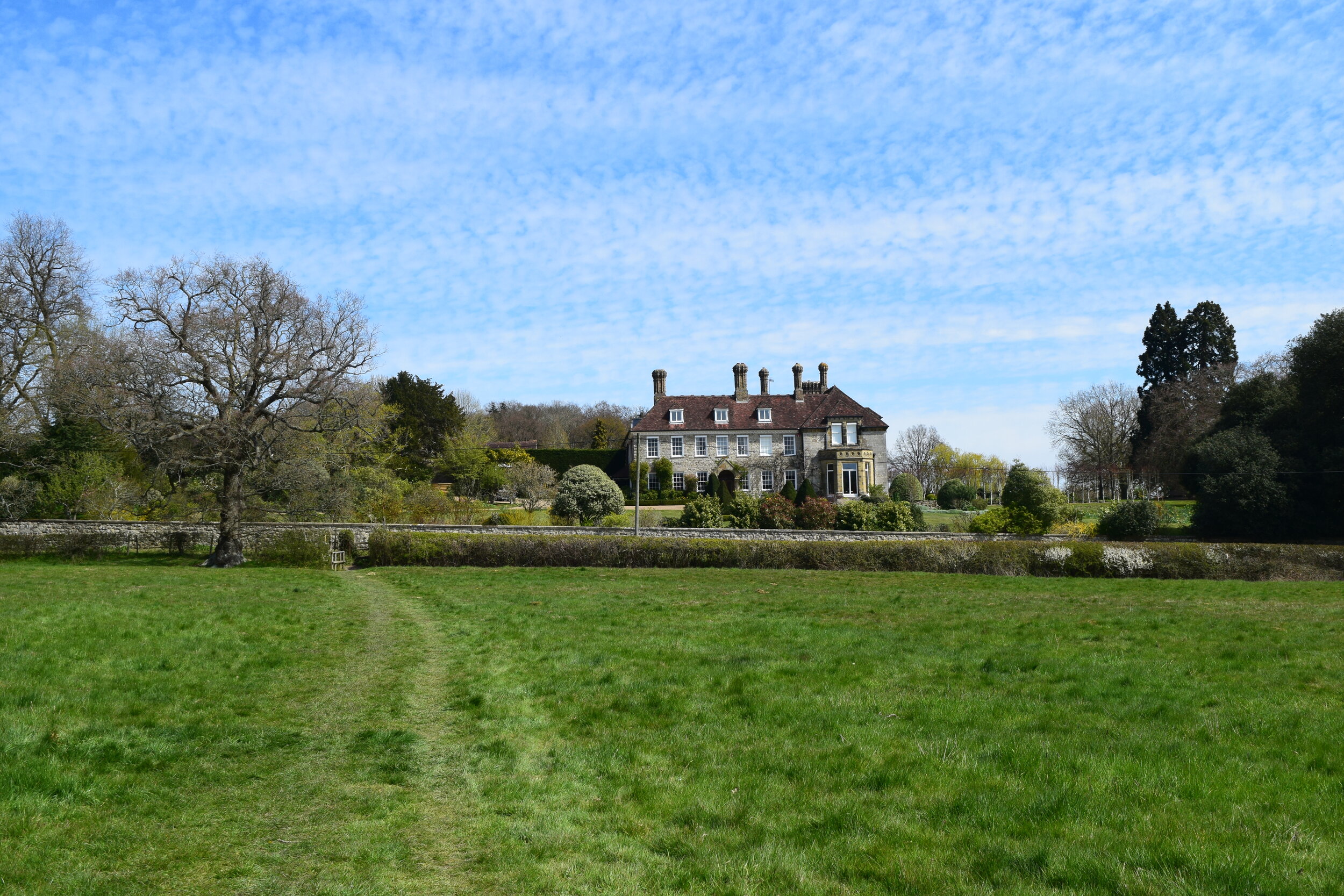
At the end of this lane you will emerge onto the National Trust property, Ightham Mote. Do not be swayed by their signage, instead follow the blue bridleway arrow and continue straight ahead as you walk downhill past the splendid manor House. This medieval gem is a photographer's delight as it casts mirror-like reflections on the idyllic moat surrounding it.

Ightham Mote, a medieval manor painstakingly restored by the National Trust
Ightham Motes earliest recorded occupant is Thomas Cawne, a soldier of fortune that left the family home in Staffordshire to ply his trade in Europe during the Hundred Years War; a running series of battles between England and France. Cawne was promoted to the rank of Captain whilst serving across the channel and was later rewarded with a knighthood on his return to England, elevating him to the ranks of the chivalrous warriors whose military conduct was defined by Christian values and good old fashioned manners. Sir Thomas wasn't always the most chivalrous of Knights though, reportedly burning down a French village that he had been paid to protect, before stealing the complainants horse when he had the audacity to protest!
When the dashing Knight moved to Kent, he met his wife Lorna Moraunt, the daughter of a wealthy gentleman from Chevening. The pair settled at Ightham Mote apparently attracted by its beautiful local walks, quiet country location and handy commute to London and France.
The Cawne's were to be the the start of a 700 year history that has seen the house slip through the fingers of various holders including Royal Courtiers and High Sheriffs. In some instances family trees withered and eventually died, whereas others saw fortunes dry up quicker than anticipated. Even with years of different occupants Ightham Mote has managed to keep its original exterior intact, making it one of the best preserved examples of a medieval manor house in the world, and now a grade 1 listed building and scheduled ancient monument.
Although it's protected now, Ightham Mote came very close to being lost forever. Despite the best efforts of its previous owner (Thomas Colyer-Fergusson) the house still needed vast amounts of repairs. When it passed down to his sole surviving son, the crippling costs of maintaining the property forced him to sell the family home. The house and its contents were put up for auction as the bidders weighed up the cost of repairing the property and turning it into flats vs demolishing it altogether and cashing in the lead from its roof. Before the hammer could fall, three quick thinking businessmen mustered up enough cash to buy the house, acting as guardian angels until its grade 1 listed status could be secured.
The house had one final custodian, an American gentleman by the name of Mr Charles Henry Robinson. He used it as a summer residence until his death in 1985 at which it was bequeathed to The National Trust. The house had been left for the public to enjoy but still needed a huge amount of work to restore it to its current state. The restoration took place over a period of twenty years, as master tradesmen painstakingly repaired the house using traditional methods. The project was the biggest and most expensive undertaken by the National Trust and cost an estimated £10 million. If you have got time to pop in it is well worth a visit. You can read more about the house and its history here.

Mote Farm, a former Victorian Model Farm
Follow the driveway round to the left and out of the large iron gates, then turn right and walk up Mote Road with care for 15 metres before turning left into Mote Farm.
If you read our last walk (The Far Side of The Weald) you may have already identified this as a Victorian model farm - an attractive farm yard that was built to be both functional and beautiful. These days the traditional brick and ragstone buildings are solely used by its owners the National Trust, whereas their farmer tenants use a modern yard beyond the oasts. Mote Farm is renowned locally for its lamb and occasionally has open days, you can also follow life on the farm here.
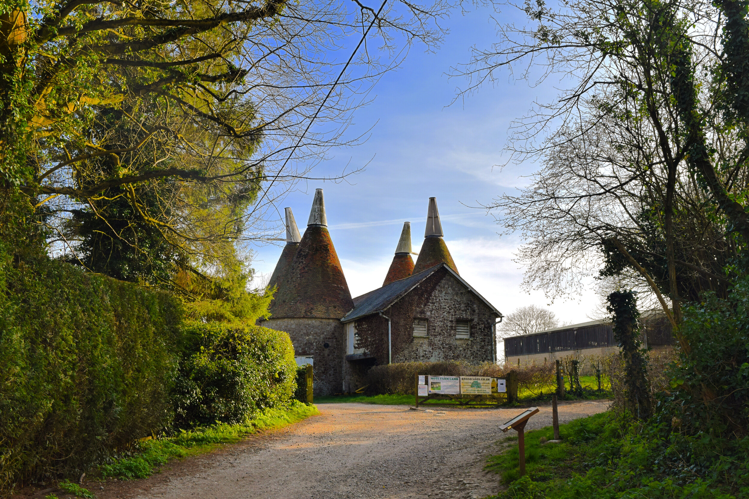
Mote Farm, Ightham
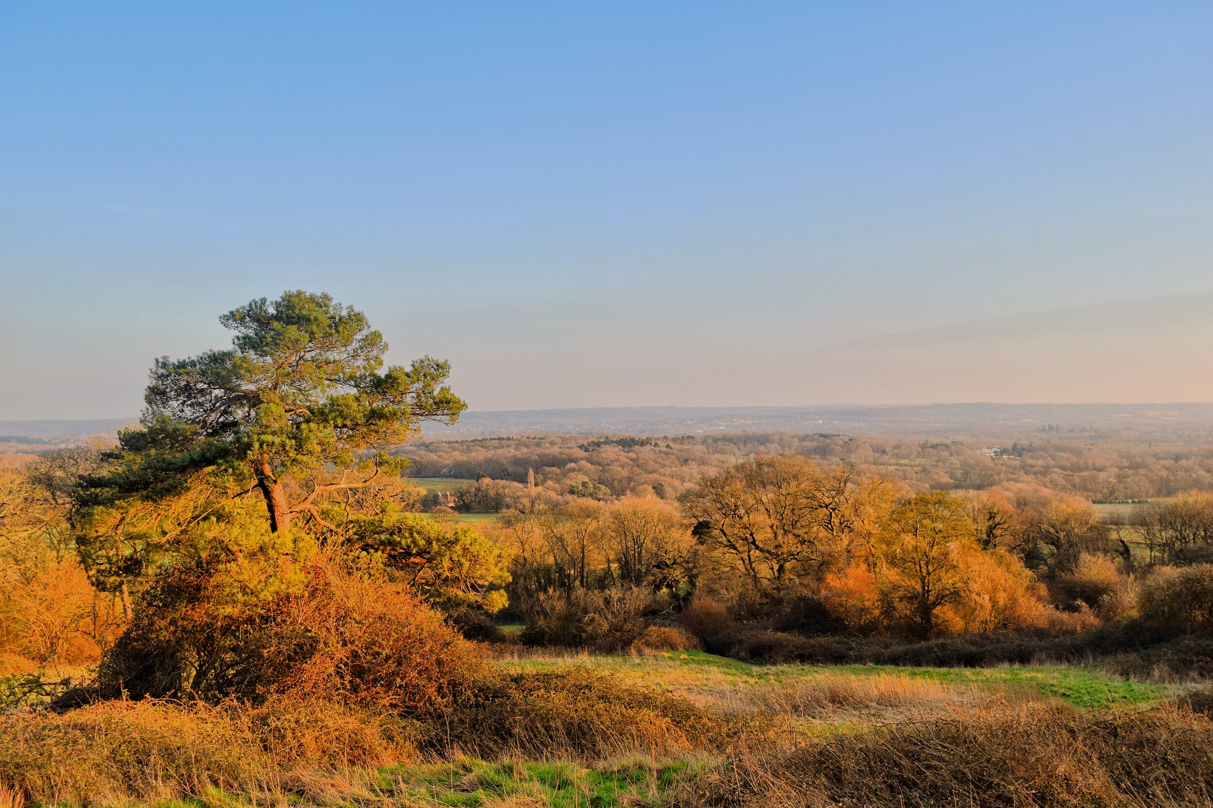
Continue along the gravel track as it curves round to the right and then begins its gradual ascent uphill and onto the Greensand Ridge. As the gradient starts to ease you will be served up a lovely vista across the Medway Valley. Enjoy this whilst you can though as before long it is hidden between the hedgerows as you continue your climb upwards.
This section of the route forms part of The Greensand Way, a challenging long distance footpath that runs all the way from Haslemere in Surrey to Hamstreet in Kent. In total the route measures 108 miles but you'll just be walking a short section of this today. It's one of the best bits though!

A coppiced wood opens up the view across the Medway Valley
Quite a few of our readers have completed all of our walks so far (thank you guys your support is appreciated!) so I won't dwell on the geology of the greensand ridge but if you are keen to find out more you may be interested in our previous walk.
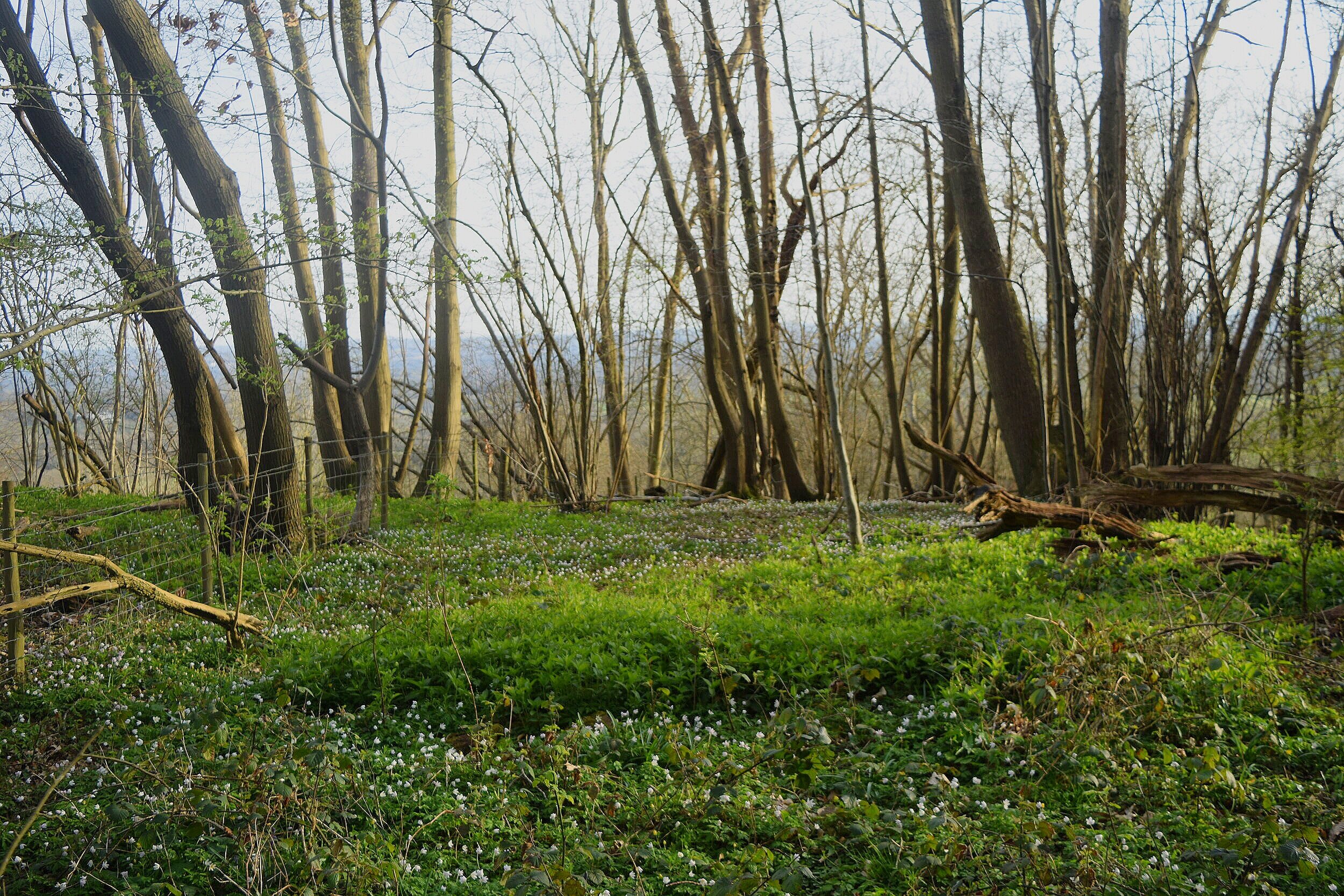
After 600 metres you will reach a fork in the track. At this point continue straight on following the track down towards Greyberry woods. In Springtime this wood is overflowing with a sea of wild garlic, it’s pointy green leaves and delicate star shaped white flowers spill out onto the path making it easy enough to forage. It’s pungent fragrance lingers in the air, so you are likely to smell it before you see it! There are a plethora of recipes you can make using the leaves and flowers, but our favourite is wild garlic pesto. It keeps in the fridge for a few days and is perfect when fried with mushrooms and spread on toast, or simply mixed with pasta. When foraging, remember to only pick what you will use and do not pick anything unless you are 100% sure it is edible!

A sea of wild garlic in Greyberry Wood
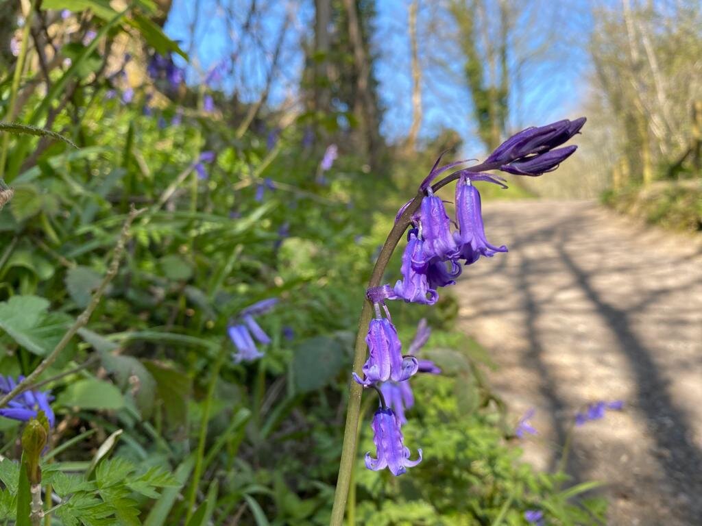
The woodland here also attracts another favourite springtime flower - the bluebell. It’s pretty bell shaped flowers rise above the ransoms as they compete for territory in this shady haven. As you continue uphill the Southern woods giveaway to open pasture and a wonderful view over Dene Park and Tonbridge. The extra sunlight means the bluebells thrive here as they now dominate the steep hillside.
Just before the trees, obscure the view, look back for a magical birds eye perspective of Shipbourne church and Hadlow Tower. Take a breather and then give yourself a pat on the back for getting this far!

Walking up Wilmott Hill
The route continues along the track as it dips up and down the hillside. After 500 metres you will come to the exceptionally pretty Wilmot Cottage. A gorgeous house with views to die for. Like Ightham Mote this was derelict for many years until it was saved by a refurbishment that has given it a new lease of life.
It's thought that the cottage was once a tavern and blacksmiths that sat on an old drovers road running between the common grazing lands at Seal and Budds Green, or possibly between the market towns of Sevenoaks and Tonbridge.

Can you spot Hadlow Tower?
The droveways formed a network of sunken lanes and hedge lined tracks running all over the UK. They enabled livestock to be 'driven' to and from market with a goal of the animals reaching their destination in a healthy and saleable condition. Some of the oldest droveways can be traced back to the time when pigs foraged the Weald, these would have been ancient forest tracks that connected the manors to the dens.
The men that herded the livestock were known as either Drivers or Drovers. The drivers would lead their animals over shorter routes such as Sevenoaks to Tonbridge, whereas the Drovers were in it for the long haul, herding cattle for days, weeks or even months over incredible distances. For example sheep could be driven from the mountains of Wales and cattle could be herded from rugged highlands of Scotland all the way to the capital. Most journeys ended in London but sometimes the drovers would continue onto the market towns and marshes of Kent. At their peak the drovers were bringing around 100,000 cattle to London's Smithfield market each year, and an estimated 750,000 sheep.

Wilmott Cottage, once a blacksmith and tavern along an old drove route
By nature of their job these early cowboys needed to be tough but also reliable. The cattle they herded belonged to other landowners and dealers so they were entrusted with not only getting the animals to market but also bringing home the profits in one piece. These attributes were enshrined in law when Edward IV passed an act in the 16th century that required Drovers to be licenced - to obtain their licence they had to be married, aged over 30 and of good character.

‘The Drovers’ continue uphill, whereas ‘The Drivers’ take the low road
When the railways arrived the role of the drover quickly became redundant as cattle could be whisked to market by train in a matter of hours, rather than weeks. The drovers' legends have been largely forgotten but reminders of their old routes can still be found in the landscape around us, such as common ground where cattle once paused to graze and the sunken country lanes trodden down by hundreds of years of hooves passing through. You can read more about the Drovers here.
At this point the route splits in two. 'The 'drivers' can take a shortcut down the hillside and link up with the end of the walk, whereas 'The Drovers' will head straight on in pursuit of the fabled pastures of Underriver and the White Rock beer garden.

A well placed bench
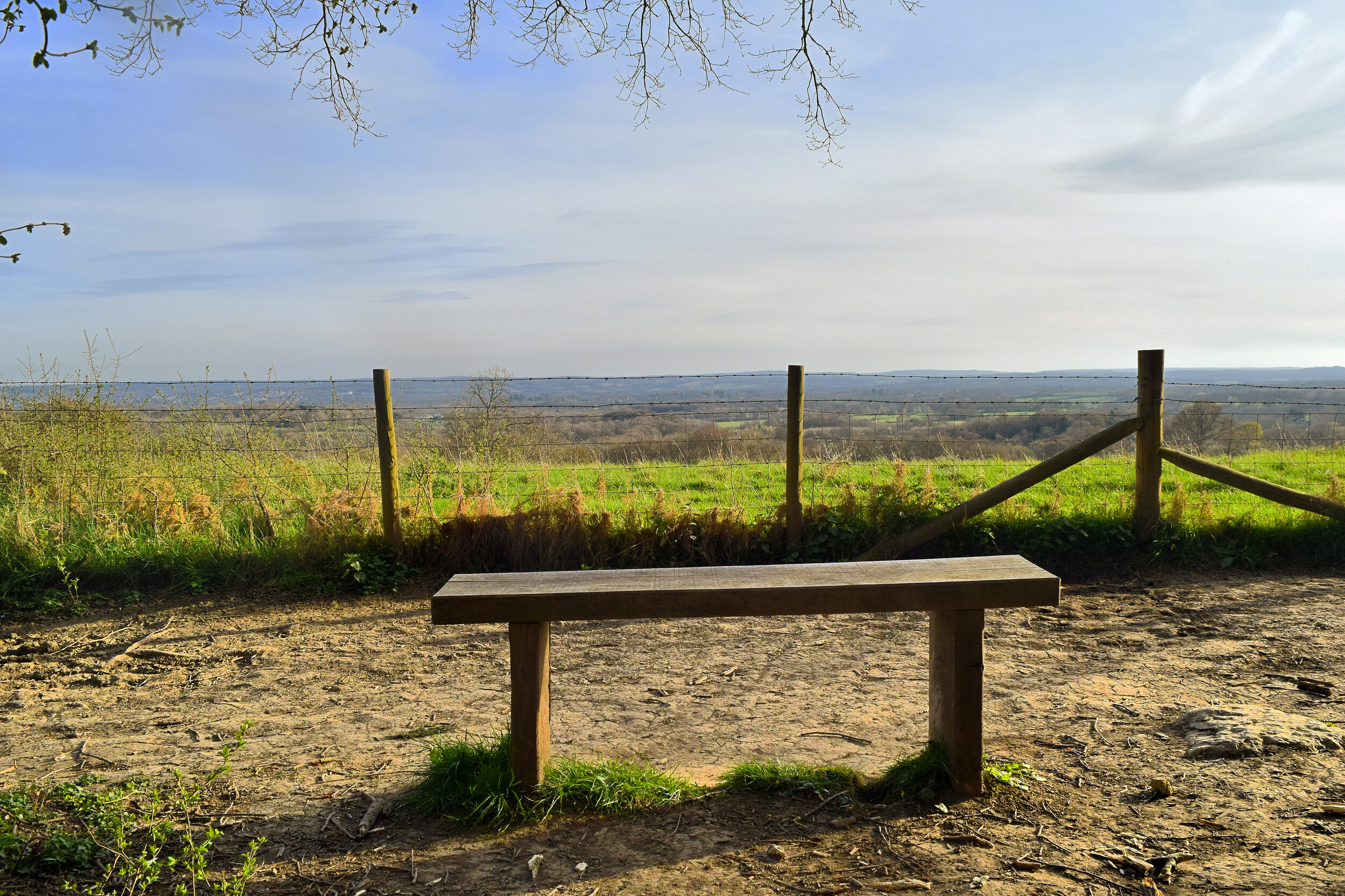
Continue past Willmott Cottage and on your right you will see a well enclosed by a small brick building. Follow the path round to the right and up the steps before turning left and following the path running besides the fence. Take a minute to stop at what must be one of the most ‘grammable’ benches in the world as you savour the majestic view.
When you reach the info board continue straight on as you enter Shingle Hill Wood. The name is slightly misleading as the only pebbles to be seen are the giant sandstone boulders that have tumbled down the near vertical hillside. These huge rocks have made themselves comfortable, forcing the path to weave around them as nature takes hold. These once rolling stones are now wrapped up in mossy blankets and are sprouting clumps of nettles and wild garlic.

A sandstone boulder strewn across the path
Continue uphill, watching your step for the many tree roots which protrude from the ground. As the wood starts to thin, the daylight streams in and is lapped up hungrily by carpets of woodland anemone. These pretty pink and white wild flowers are named after the Greek God of wind, Anemos, who was said to send them each Spring to signal his forthcoming, hence its also known as the windflower.
Go through the little wooden gate and then continue along the path as you now walk downhill. Despite the drop in gradient the view is no less impressive when the trees finally part. Keep an eye out for Underriver house, an impressive mansion that we will pass later. One of its former residents was Samuel Palmer, an acclaimed English landscape painter that knew this path well.
Woodland Anemones compliment the view
Palmer was best known for his works in and around Shoreham, but also had a fixation with Underriver. He referred to it as his golden valley and painted many of the views you have enjoyed on your walk today. Palmer's works barely gained any recognition in his own lifetime, but were later rediscovered when Martin Hardie compiled a collection of his works and showcased them at the V&A museum. Hardie himself moved to Tonbridge just a few years later, perhaps inspired by the beautiful scenes at Underriver.
At the end of this path you will reach a metal kissing gate that opens onto a quiet lane. Turn right and walk past a small orchard - in early Springtime this will be carpeted with primroses.
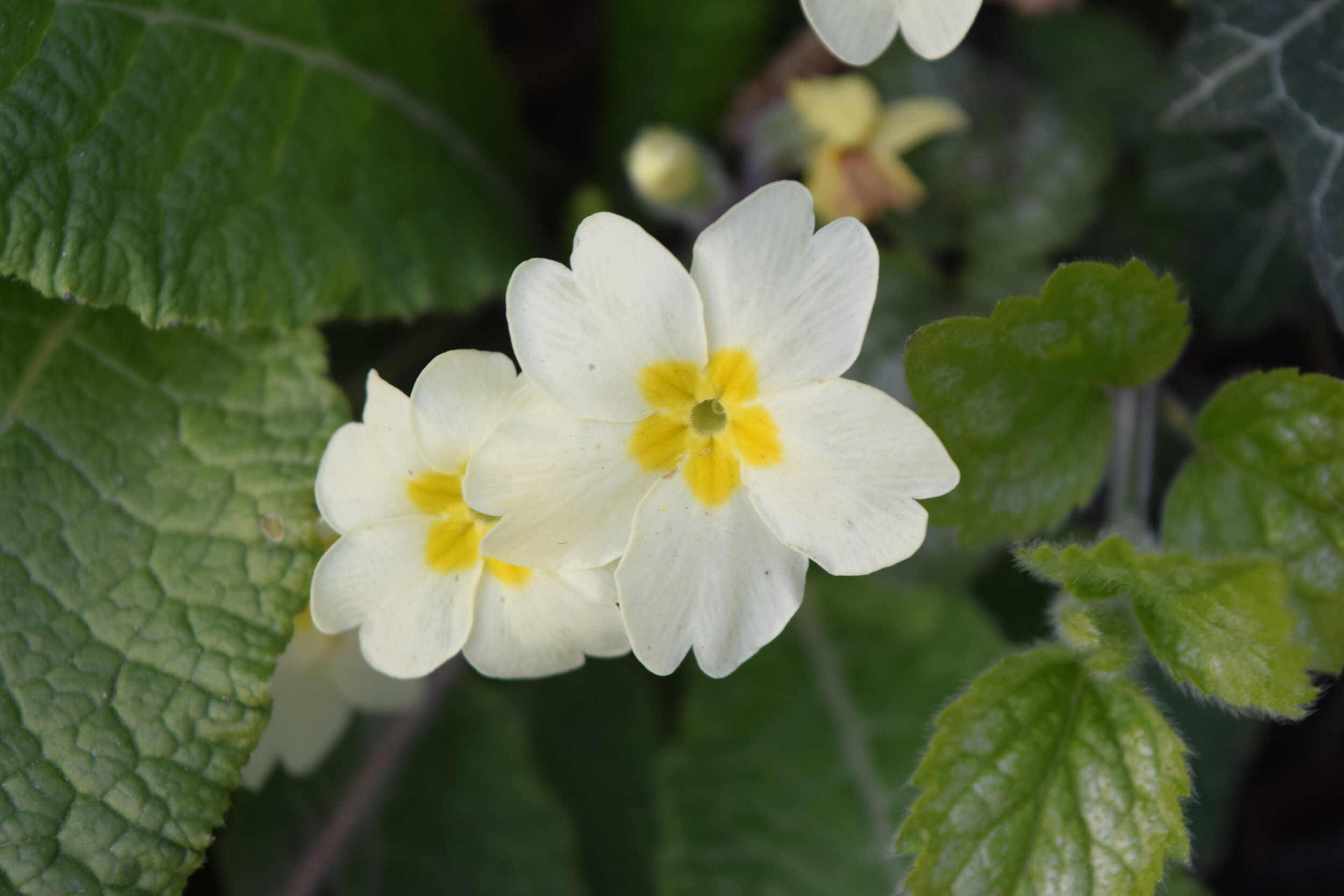
A wild primrose
Walk uphill for 100 metres, turn left and climb up a steep set of steps that have been dug out from the hillside. Having ascended these you’ll need to summon some more energy as you clamber your way up Rooks Hill. The path clings to the edge of the hill side as it winds its way upwards - those with vertigo may want to avert their eyes as you amble along what is essentially a cliff edge. Needless to say, keep pets close and children closer.
Follow this pathway for 400 exhilarating metres until you reach a signpost for One Tree Hill, another National Trust managed site. Topping out at 207 metres above sea level, One Tree Hill is by far the highest point of any of our walks so far, smashing the dizzy heights set by Bidborough Ridge on The Ascension walk.

Treading the cliff top path at Rooks Hill
Walk past the sign and then turn left before continuing straight on for 100 metres. When you reach the fork in the path stay to the left and continue on through the woods. When the great hurricane of October 1987 struck, over 90% of the trees were lost here. It's hard to believe this now as you struggle to make out the view through the thick canopy that covers this stunning hillside once more.
When you emerge from the woods you will come to a clearing at the top of the hill, this is the perfect spot to enjoy a picnic and take in one of Kent's most famous views. The bench at the top of this glade is dedicated to Dr and Mrs Jamieson Hurry, a couple that were so keen to preserve this site that they donated the funds for the National Trust to purchase it in 1911. Their generosity has ensured that this incredible view can be enjoyed, forever.

One Tree Hill - views don’t get much better than this
Upon leaving the clearing continue downhill through a tunnel of silver birch and dense blackthorn bushes. When the path forks again take the route to the left signposted The Greensand Way.
After 60 metres you will come to Carters Hill. This is a fairly quiet road, but is popular with masochistic cyclists who rank it as one of the best climbs in Kent! Cross over the road with care and then walk downhill for 100 metres before branching off to the right. Just before the white gate, turn right and follow the path for 475 metres.

Descending One Tree Hill
The dramatic views are initially hidden behind residential fences and huge conifers but the bluebells here provide interest in Spring as does the Autumn colour. When the panorama eventually opens up it's every bit as mind boggling as what you have seen before - stretching all the way to Sussex on a clear day.
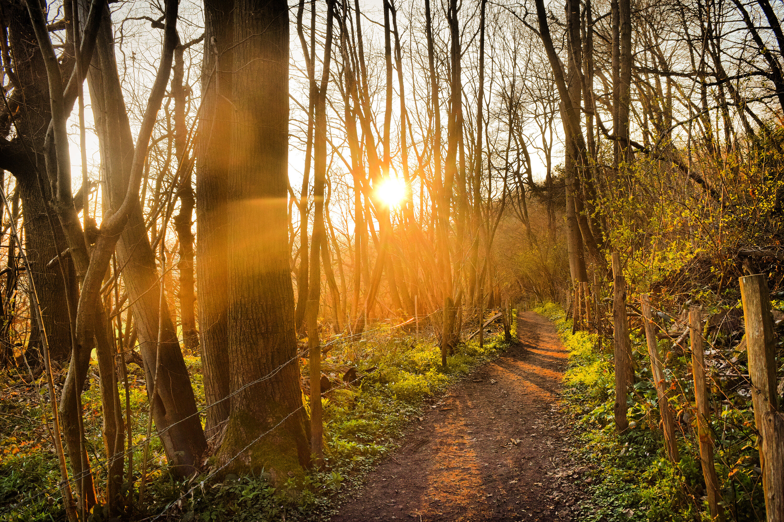
At the end of this path you reach a junction. Saying goodbye to The Greensand Way, turn left and head downhill through a deep sunken path running down Carters Hill. This is nearly impassable in the wet Winter months with deep mud that will swallow your wellies whole if you linger too long - you have been warned!

The view from Carters Hill
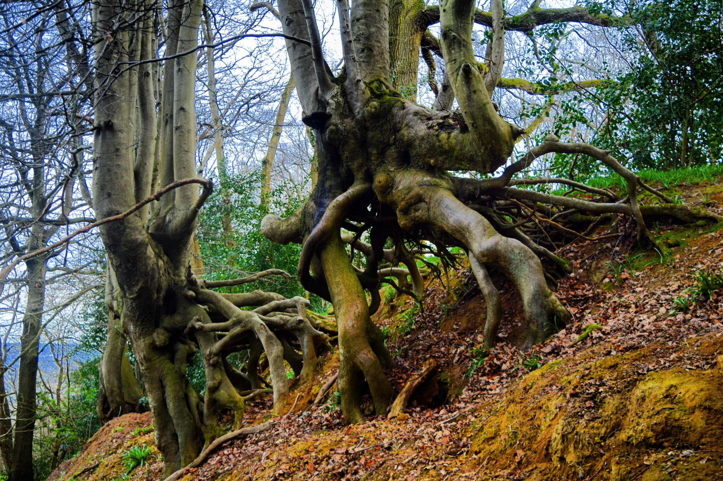
The cutting provides an anatomy of the hill side where you see the tree roots digging deep down into the sandy soil as they anchor themselves into the landscape. The largest of these form triffid-like cages that hang like gibbets above the pathway.
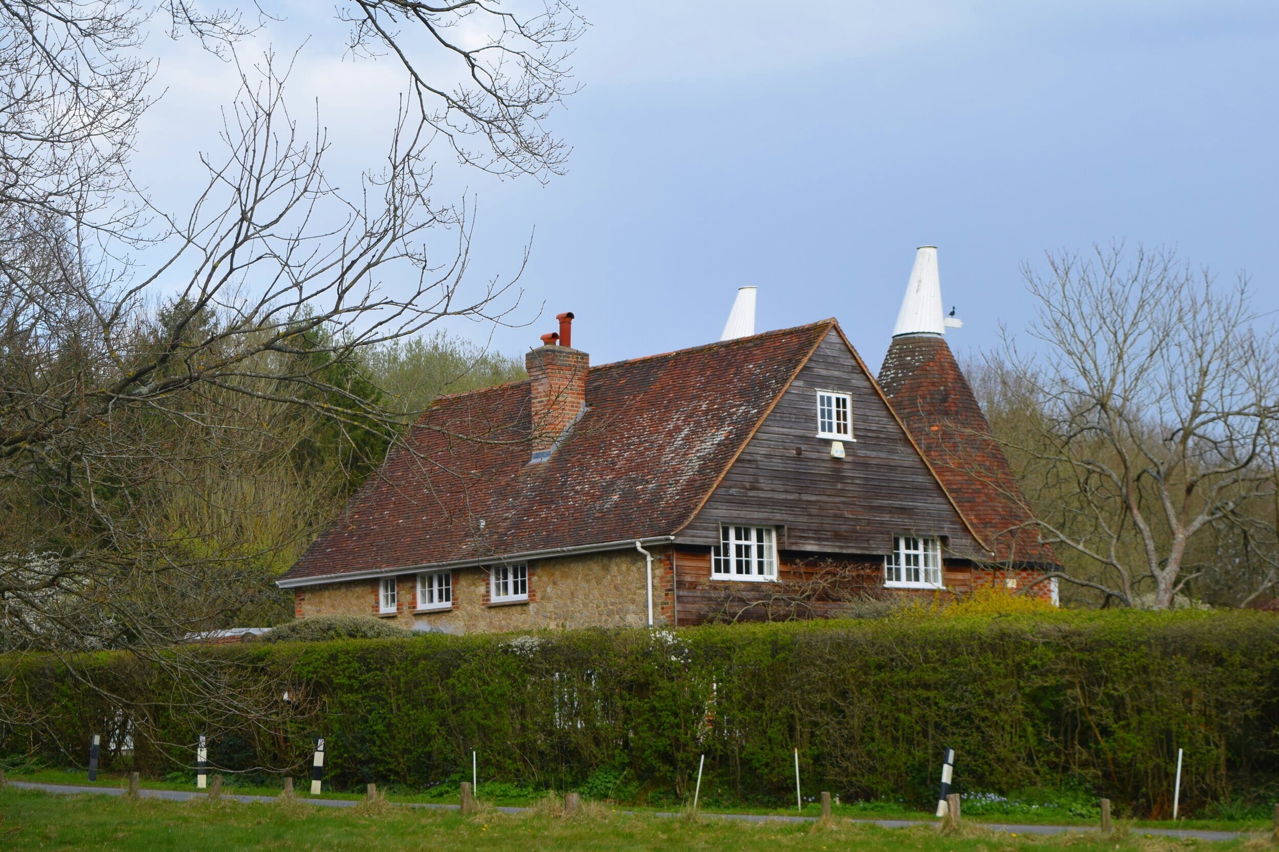
When the path forks, follow the purple arrows to the right and continue to descend Carter’s Hill. After 350 metres you will see some beautiful rag stone oast houses at Kettleshill farm.
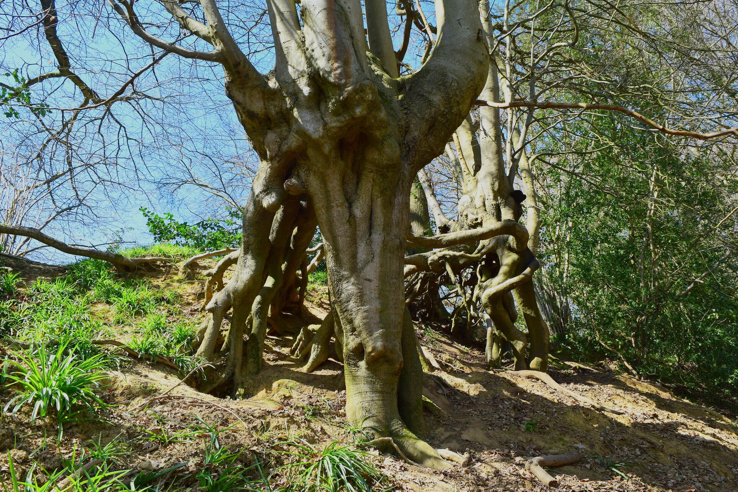
Triffid like trees burrowing into the hillside at Carters Hill
Continue straight across the driveway and when you reach the junction turn left. As you walk down this shady pathway you will hear the sound of a bubbling spring beyond the hedge. Follow the path for approximately 400 metres passing Valley Farm enroute. When you reach the driveway, continue straight on until you emerge onto the road into the village of Underriver.
Confusingly the nearest river is The Medway, back in Tonbridge. The village name is actually a modern translation of the Saxon 'sub-le-ryver', meaning under the hill. It all makes sense when you look back up at the steep ridge you have just descended from.

The village of Underriver
Walk down the road for 150 metres and you will see The White Rock on your left. This is a great country pub with plenty of space inside and out. The huge garden has lots of tables and is also home to the local petanque club! Whether you are playing or watching, take the opportunity to enjoy a drink or two as well as sampling their fantastic menu.
Upon leaving the pub turn right and retrace your steps back up the road 50 metres passing the old village forge on the way. Turn right through two metal gates and then follow the path through the field. After 180 metres you'll cross a small stream and then climb a stile leading into another field.

The White Rock, Underriver
The territory here lacks the drama of the first half of the walk but it's no less beautiful as you plod through the gentle slopes of the Low Weald. Continue on through the fence, then cross two more ditches before climbing a stile that forms a gap in the hedge.
Having climbed the stile, walk across the field and then climb the next stile or walk through the gate if open. As you cross this final field you will see Underriver House in the distance, a miniature stately home that seemingly appears out of nowhere. This picturesque mansion was built in 1709 by Richard Goodhugh, a former High Sheriff of Kent.
Rolling fields near Underriver
When I hear the word sheriff I can't help but picture a gun toting, law enforcer, roaming the dusty plains of the Wild West in search of rogue cowboys and gunslingers. The recent High Sheriffs of Kent are light years away from the likes of Pat Garrett and Wyatt Earp but in the early days their jobs weren't too dissimilar
The role of High Sheriff is over 1000 years old, dating back to Saxon times when the first counties or shires were formed. Each shire was allocated a reeve that was principally placed in charge of upholding the law of the crown and collecting taxes. The 'shire reeve' or sheriff (do you like what they did there?!) was an extremely powerful figure and commanded a lot of respect. With one shout they could raise the 'Hue and Cry' a rallying call to hunt down a fleeing criminal; or if things were really bad they had the option of rolling out the 'posse comitatus '(power of the county) a rallying call for their counties army to rise up and defend the crown. The Sheriffs weren't just enforcers though, they also acted as judges in the Hundred, a monthly court which met to settle private and criminal matters.
Underriver House, built for Richard Goodhugh a High Sheriff of Kent
Over time the powers and responsibilities of the High Sheriffs were slowly eroded as changes to the taxation and legal systems chiselled away at their authority. Taxation began to fall under the control of the exchequer and the introduction of a common law meant that justice was served up by visiting judges.
As of today the role of High Sheriff still exists and the tradition of replacing the position each March continues. Although the position is unpaid and does not even cover expenses, the Sheriffs officially act as their counties sovereign representation for all things legal. They continue to look after visiting crown court judges and lend their support to the police, courts and prison service.
The duckpond near Underriver House
Nearly every walk I have written features a High Sheriff's residence and plenty of the characters that I have touched upon in my historic ramblings have fulfilled this role; so after 20 walks it's been worthwhile reading up on this further. If you would like to read more for yourself I can recommend the highly informative High Sheriffs associations website.
Cross the little wooden bridge and then climb a stile before turning left up the road and walking past Underriver House. As well as its original High Sheriff owner, this wonderful house was also once home to the cordon bleu chef Rosemary Hume (credited with inventing Coronation chicken), and latterly rock and roll manager John Coletta. Colleta originally managed 70's rock legends Deep Purple before going on to manage Whitesnake and Rainbow. 'Since he's been gone' there's been no signs of 'smoke on the water' on the pretty duck pond that sits opposite the house. I'll get my coat!

After 130 metres turn right and walk past a row of pretty old cottages that would have once been used for servants before continuing along the driveway past some serious barn conversions. When you reach the end of the drive take the path to the right of the metal five bar gate.
Follow the path between the woodland and the fence before climbing another stile and then continue along the edge of the woods as you walk on through a large field.

Keep going until you reach two stiles and then walk on past the barn, home to some inquisitive cows. They are normally in a separate field to the path but if not, keep any dogs on a lead and proceed with caution, unless you fancy yourself as a drover!
Climb a third stile and then continue across the field and over two more stiles. The path then crosses a trickling brook before following the tractor tracks through a field of crops. The earth here is typical wealden clay, so in drier months it will be scorched bare with gaping cracks, yet come the winter rains it will be an unforgiving mud bath. Farming this land takes a lot of effort, so always stick to the path.

Sun baked clay - not the easiest soil to farm!
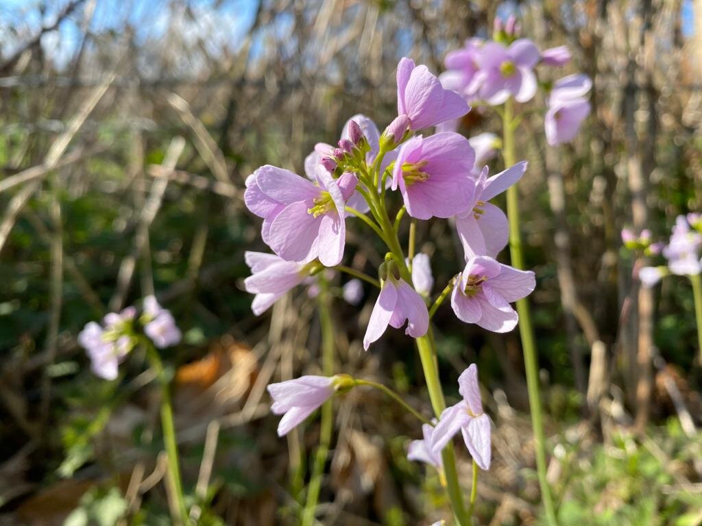
At the end of this track climb the stile and follow the path for 150 metres as you walk past a swampy pond. This will be brimming with leggy cuckoo flowers in Spring and buzzing with dragon flies by summer. The cuckoo flowers are named as such because they don't flower until the first cuckoo of Spring has been heard. I've seen these delicate lilac flowers everywhere but I'm yet to hear a cuckoo this year, so I'm having second thoughts as to how accurate Wikipedia is!
When you reach Budds Green common, cross the road and then climb the stile on the right just after Budds Oast. It's at this point that the walk re-joins the shorter route, though I expect 'The Drivers' will be in the Chaser by now.
Budds Oast, Budds Green near Shipbourne
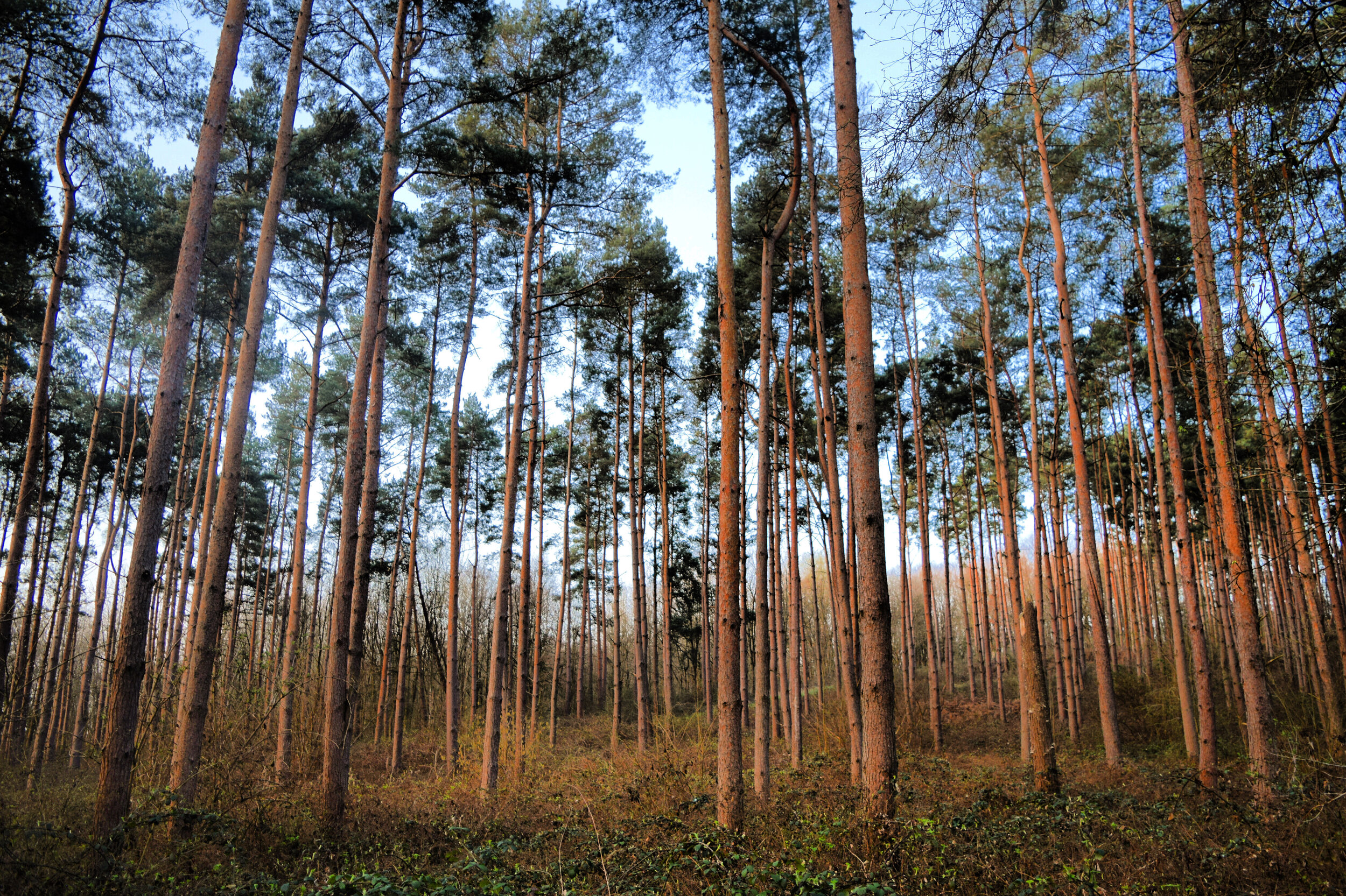
Walk on through the woods ignoring the little paths that branch off from the main trail. The first part of this forest is proper Gruffalo territory, where towering pines create shadowy enclaves that will scare even the bravest of little mice.
Gradually the pines merge into ancient woodland and with that comes the usual abundance of bluebells. These beautiful Spring flowers are at their best around from mid to late April. There are lots of legends surrounding these flowers, some of which you can read about on our Steeplechase walk.

The Cold Blows, a deep dark wood near Shipbourne
After 450 metres you will reach a T- junction, at this point turn right and continue for another 250 metres as you walk past another photogenic gathering of pines.
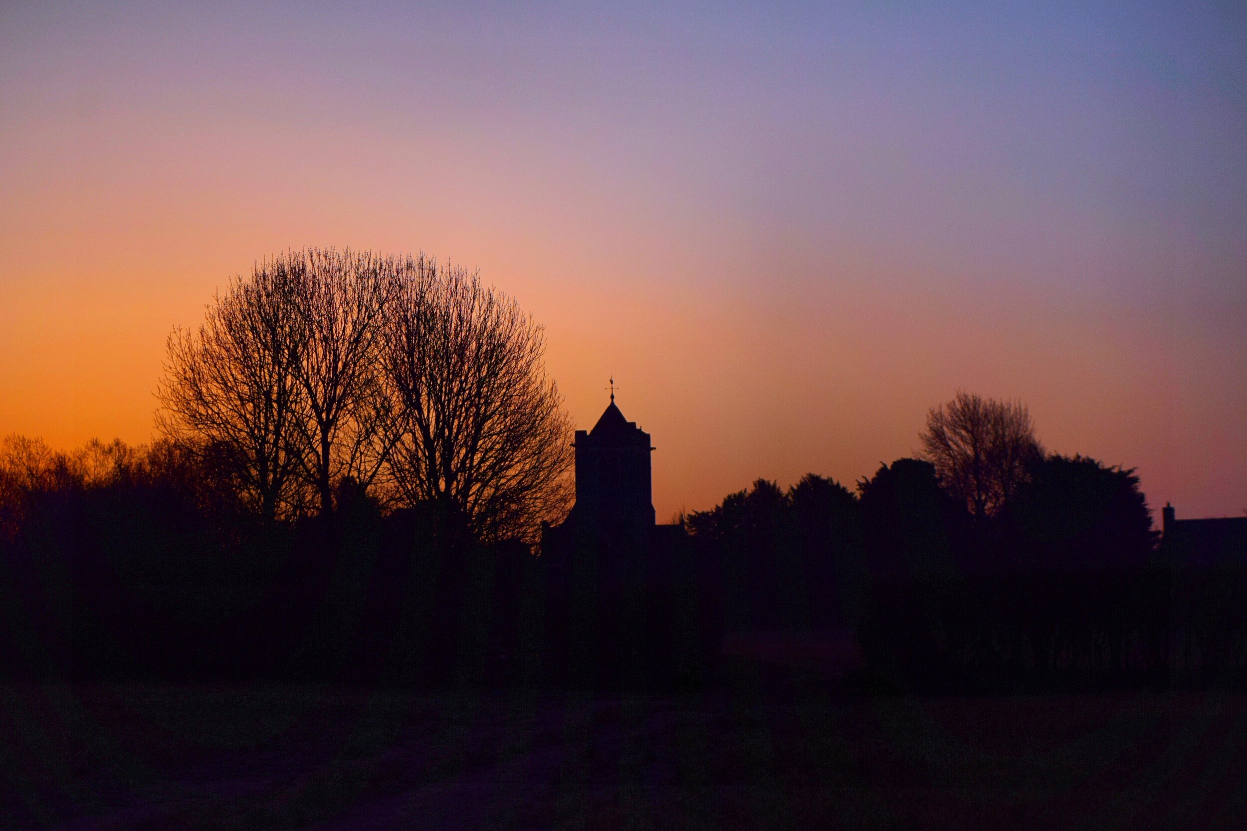
As you leave the woods, climb the stile and then continue straight on, following the track which runs through this field. Up ahead on the horizon you will see St Giles church Tower marking the finish line to this walk. This final view is another classic and if you are an early bird it is best appreciated at sunrise.

The home straight
At the end of this field, take the path to the right of the hedge and then walk back through the kissing gate and go through the church yard once more before ending your walk at The Chaser.
If you have not visited before you can expect a busy gastropub which serves up tasty pub classics to diners from all over the local area. The pub welcomes walkers and dogs but we recommend that you book ahead, particularly at the weekend

The Drover or The Driver?
The Drover is a longer, more challenging walk that includes the addition of One Tree Hill and the pub stop at The White Rock in Underriver.
The Driver is a shorter family friendly walk that goes as far as Wilmott Cottage before dropping down the hill side and re-joining the longer route at Budds Green. It still has some stunning views and varied scenery but does not include a pub stop enroute.