
Walk 19: The Far Side of The Weald
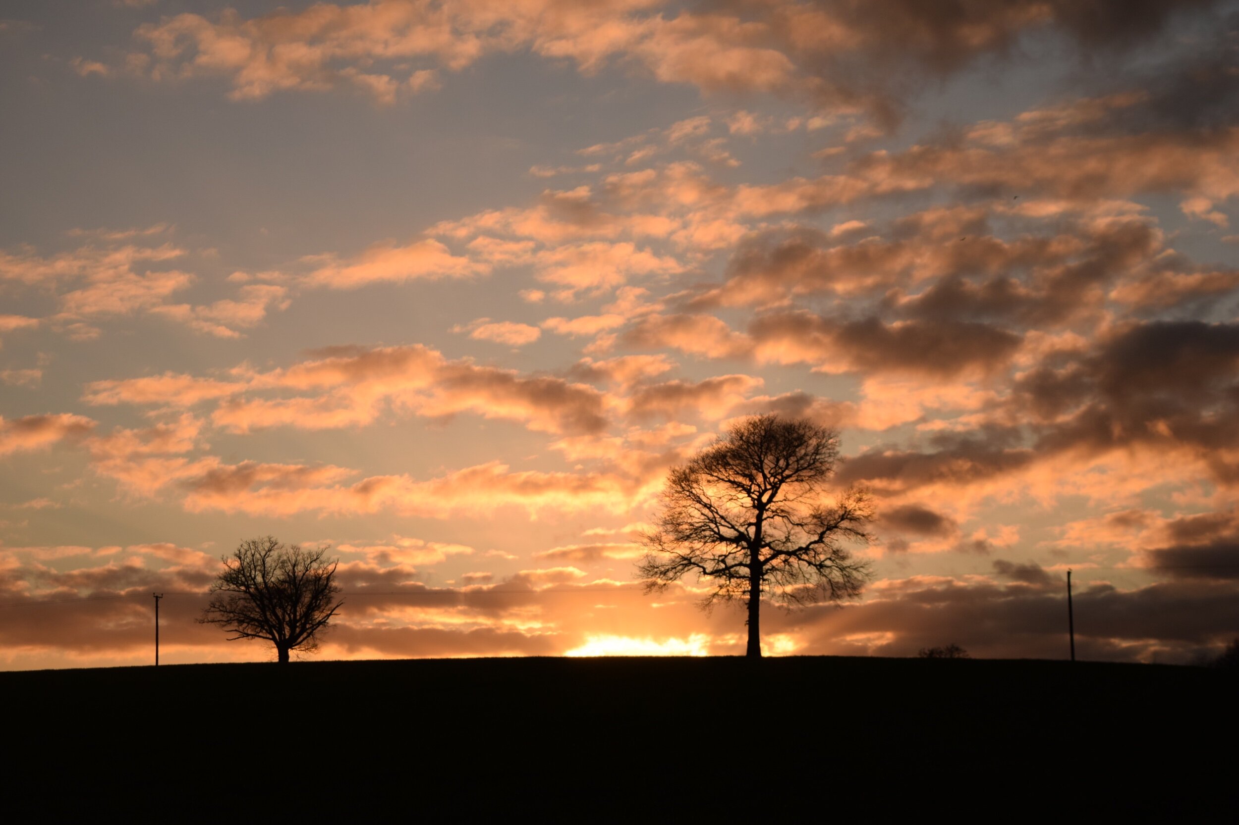
Like many of us I never really stopped walking over the wet, cold winter, I just gritted my teeth and carried on trying to find the positives - very much a metaphor for the bigger picture I was walking to forget about.
After what felt like an eternity the sun came out and temperatures have begun to rise. As the mud dries and the wildflowers begin to blossom, the countryside around us has started to spring to life once more.
There’s still a long way to go but having seen the vaccines rolling out amongst friends and family and with news of pub beer gardens preparing to open, I’m daring to hope that these green shoots of recovery are here to last.

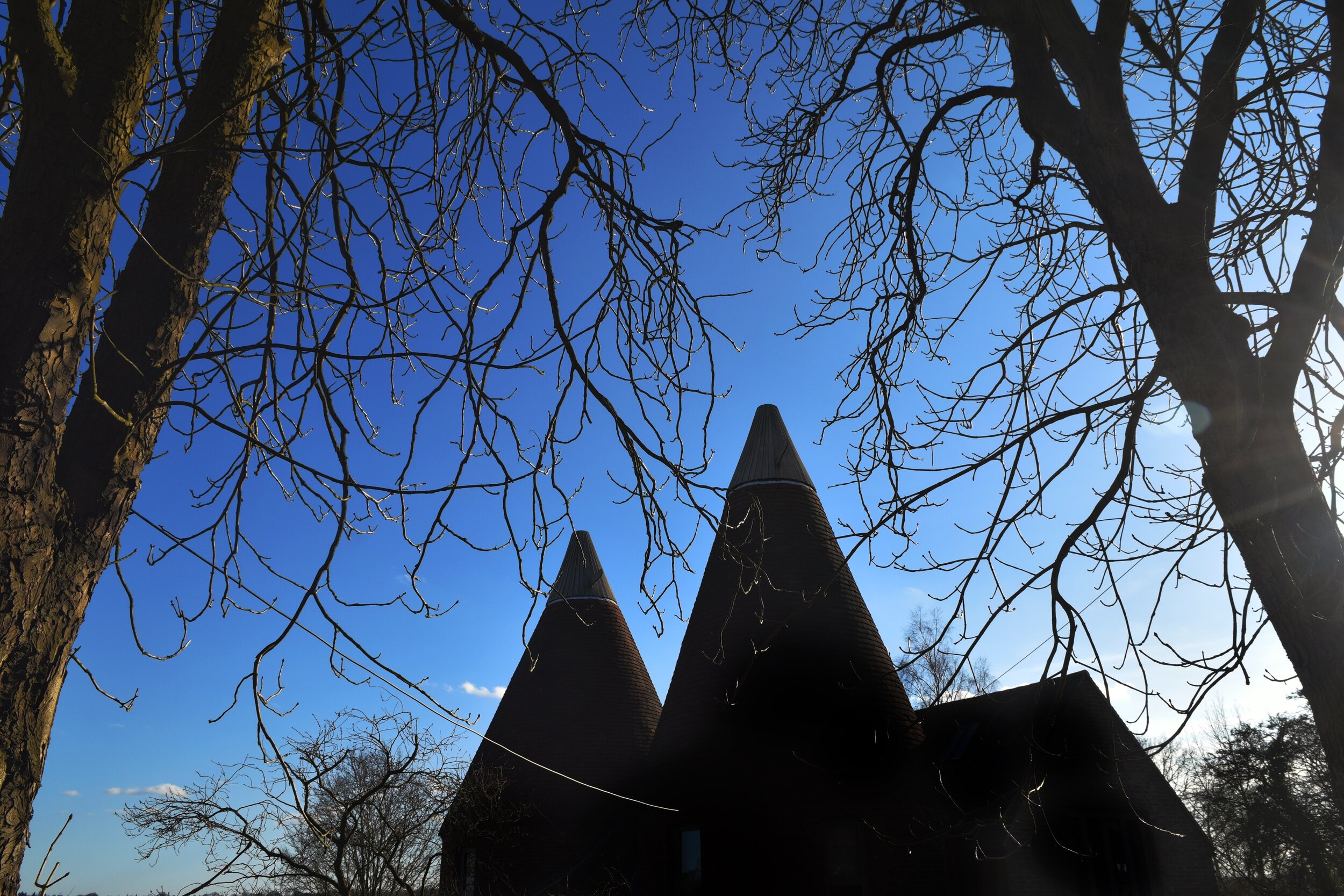
The Windmill, Weald
Begin your walk at Sevenoaks Weald. Please park considerately if arriving by car- there are normally spaces by the school or The Memorial Hall if there are no functions taking place.
Head towards The Windmill Pub, then just before you reach this turn right into Hurst Lane, a quiet road running between the cottages and edge of the green. When you come to the tarmac path at the end of this lane continue straight on until you reach Mount Pleasant Road, then turn right and walk downhill for 20 metres before taking the byway on your right.
Follow this path all the way to the road, ignoring the other footpaths that branch off along the way. The route weaves its way downhill through a thin ribbon of woodland and across a trickling stream. Towards the end of spring the shady banks that flank the path will be blanketed in bluebells.
When you reach the the road, turn left and then follow this with care for approximately 600 metres until you come to Brook Cottage. Shortly after the cottage you will see a footpath on your left. Take this path and then continue along a very muddy route that leads through the woods.

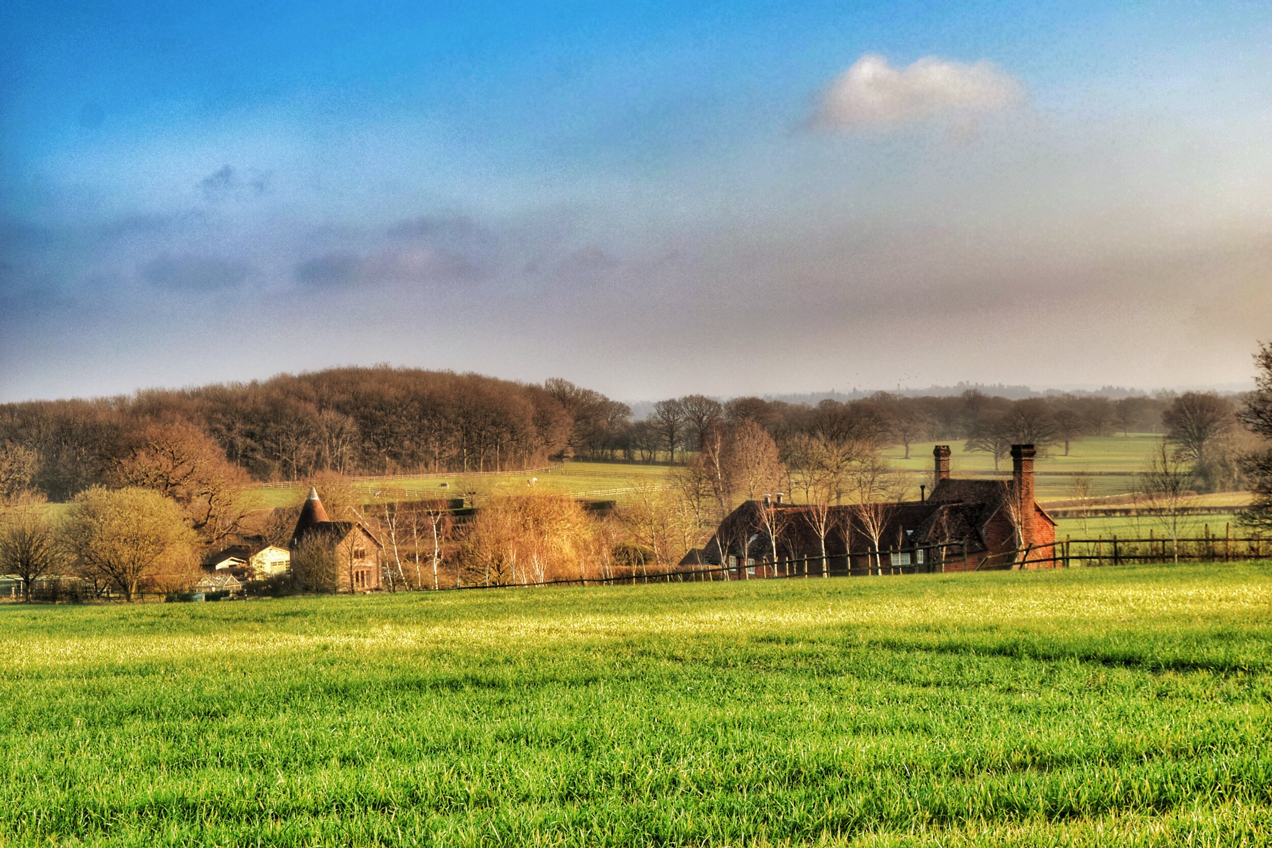
Walking through the woods near Sevenoaks Weald
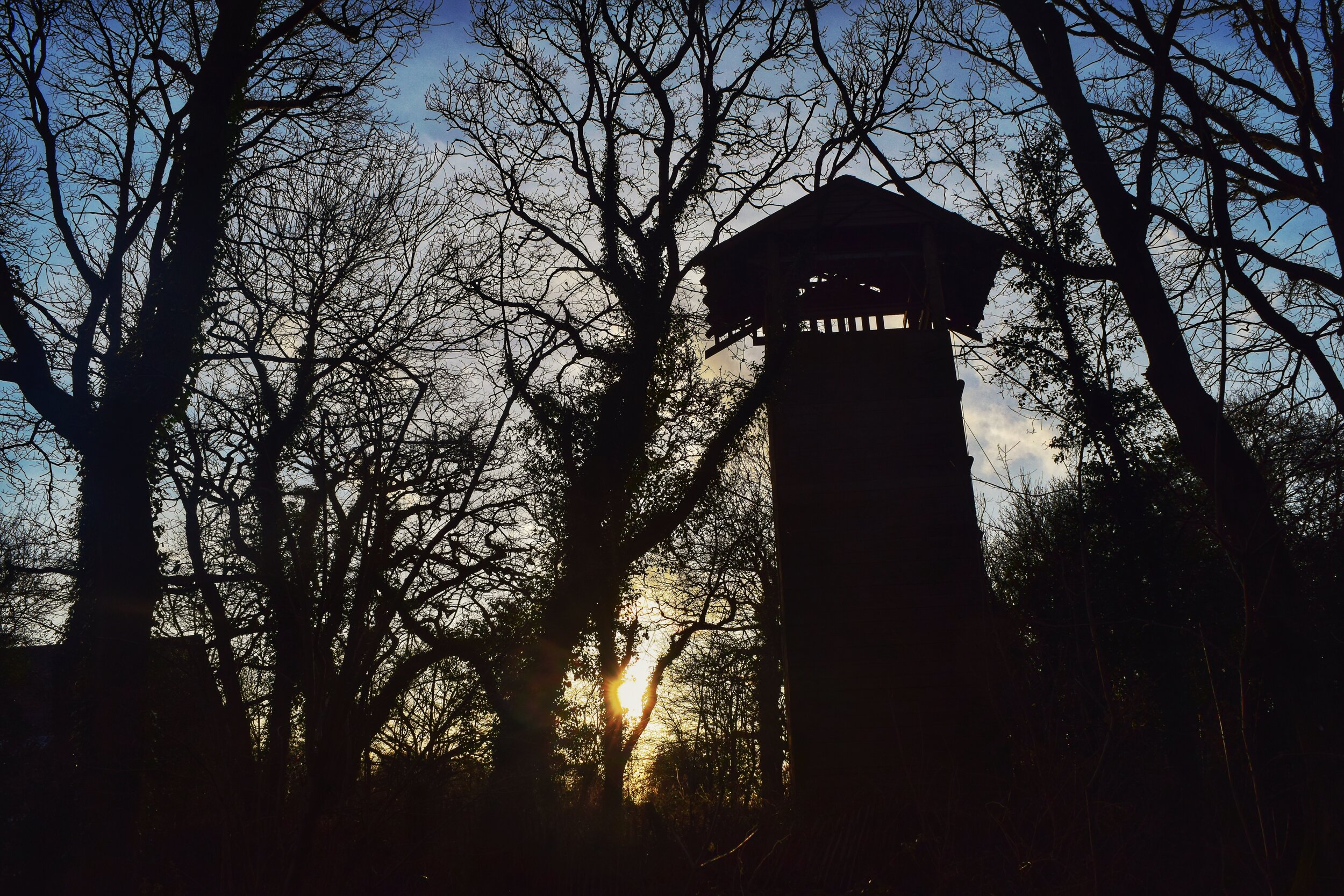
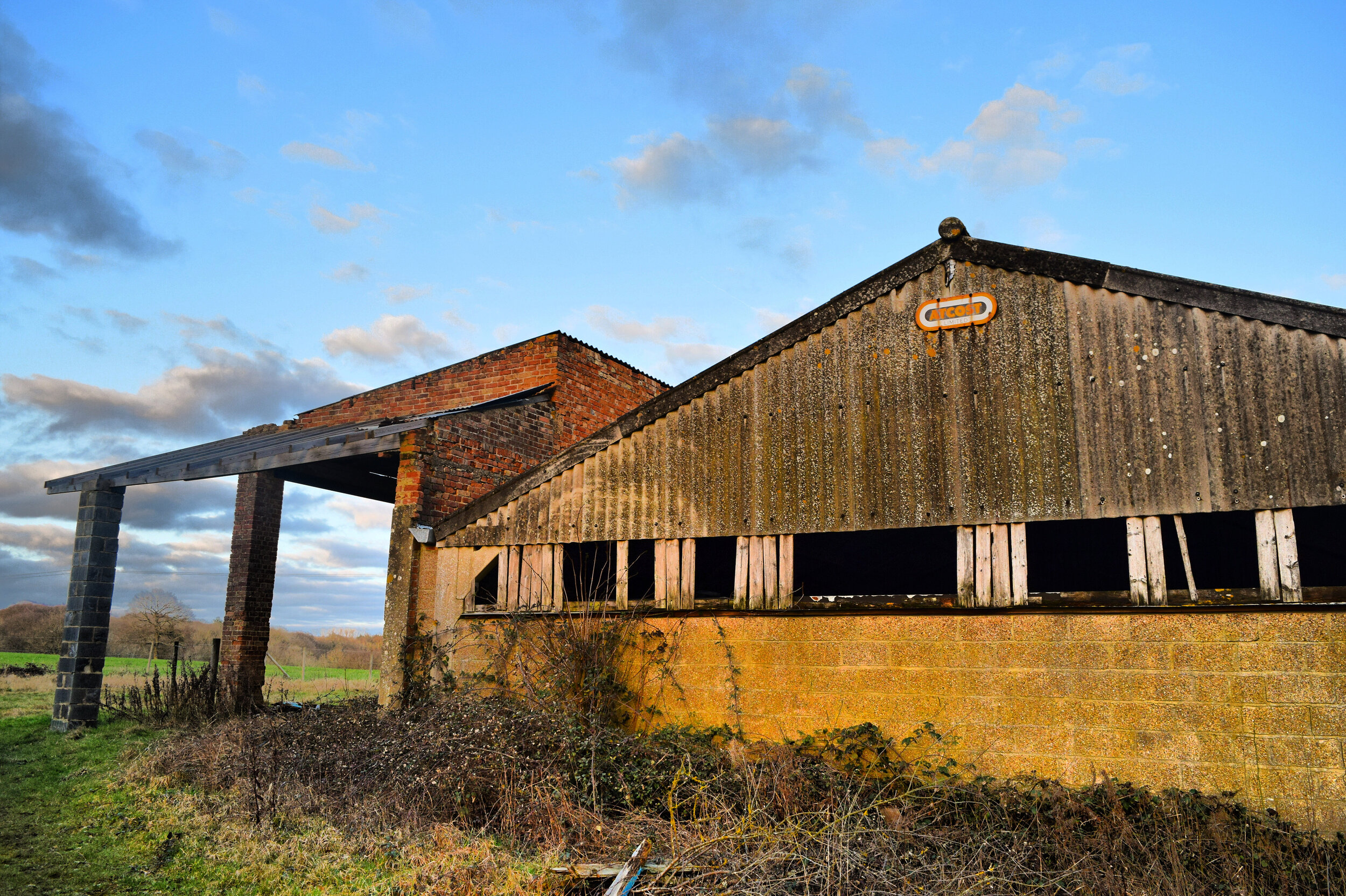
Either side of the fence you will see the abandoned relics of the Halls Green activity centre. The centre closed years ago but the haunting remains of its abseiling tower loom over the surrounding woodland.
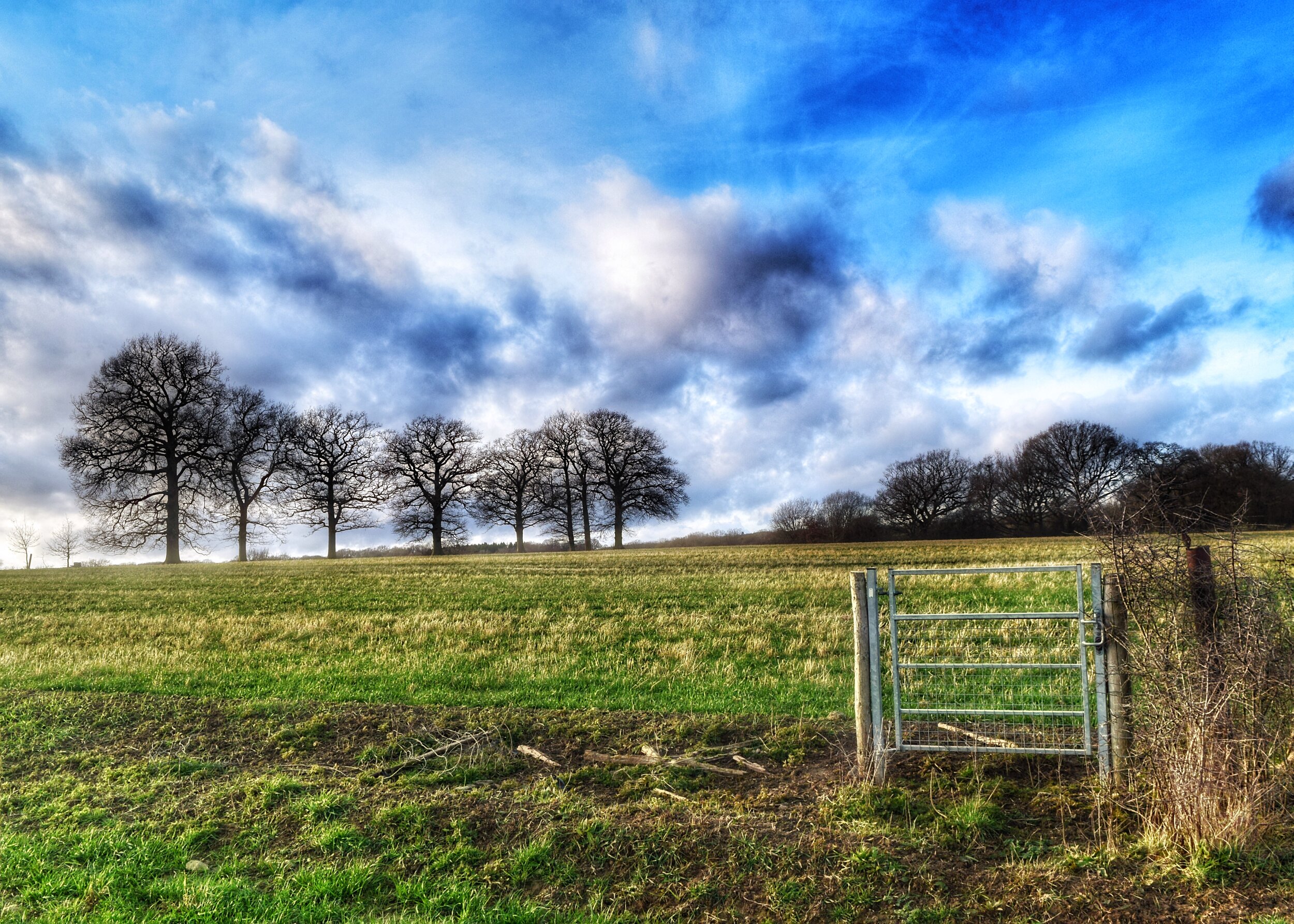
At the end of this muddy path, the route gives way to a gravel track. Follow this until you reach a small lake and then you will see a path branching off between two fences. Walk on past the lake and then as you pass through the hedge you will emerge into a large field as for the first time in this walk you can start to truly appreciate the surrounding countryside.
The sweeping view feels like you could be looking right the way across Kent, but in reality this is just a small section of The Weald, a vast area of natural beauty that accounts for all of the land between the North and South Downs.

A lake near the former Halls Green activity centre
As a Man of Kent, I have always tended to associate the Weald with my home county, but it actually spans all the way from the edges of Hampshire to the fringes of Romney Marsh, accounting for vast sections of West Sussex, Surrey Kent and East Sussex.
Follow the path across the field and then proceed through the metal gate, before passing across the next field and going through a second metal gate. Walk across this field, before passing through a third gate, crossing yet another field.
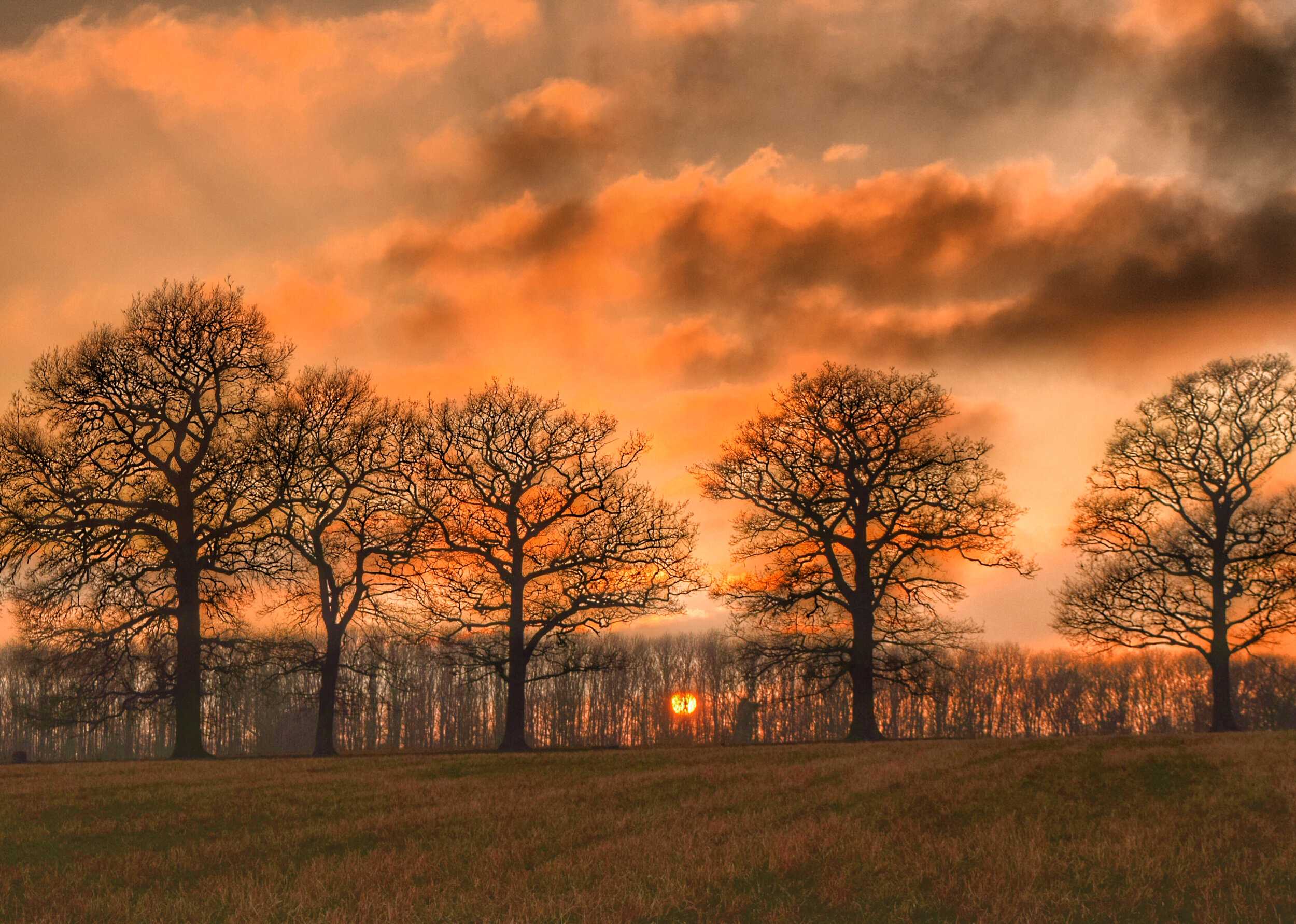
This may sound monotonous but the ever evolving view and wide open spaces, is a real joy on a sunny day.

The glorious Weald of Kent
Walk past a pond and then pass through one final gate then head straight on uphill aiming for the point where the opposite hedge meets a clump of tall trees.
Walk through the gap in the hedge and then continue straight on, keeping to the right hand side of the field until you see a row of houses. At this point you will come to a stile next to a tree. Climb over this and then continue down the track before turning right and then walking through Wickhurst Farm.
This tiny hamlet is a cluster of converted agricultural buildings, centred round a beautiful old farmhouse, but in its prime Wickhurst was once a Victorian Model Farm. You may be wondering what exactly a 'model farm' is, but the concept is fairly simple though. Model farms were designed to showcase the latest agricultural techniques and technology to other rural landowners, with the goal of maximising the profitability of the surrounding land.

Wickhurst Farm farmhouse
Although model farms first came about in the 18th century, it was the Victorians that took this idea and ran with it, embracing the notion of making agricultural life fitter, healthier and more productive.
At the time Britain was experiencing an agricultural boom, generated by a perfect storm of its increasing population, the threat of competition from the American/Australian imports and the rapidly evolving technology becoming available to farms. New machinery, drainage systems, crop rotation and the introduction of fertilizers were all elements that were increasing the value of farms and their output. These advances meant that farmers could meet the countries growing demand for food, whilst maintaining prices that could compete with cheaper imports.
Quite often model farms were the result of wealthy Victorian landlords working in tandem with their farmer tenants to ensure that they were fulfilling the maximum amount of profit, as bigger incomes meant they could command far more respectable rents for their land. The landowners took great pride in their farmsteads, often signing off on projects that were as beautiful as they were functional, for example Park Farm, near Tudeley, which you can see on one of our earlier walks 'The Goldsmid Trail'. The closer the farm was to the manor house, the more attractive it was likely to be!

Park Farm Tudeley, a Victorian model farm that was both functional and beautiful
Although Wickhurst farm was not as aesthetically pleasing as Park Farm, it was somewhat more innovative. At the time of its inception as a model farmstead its Victorian owners were looking to experiment with fertilizers. This was bang on trend with the times as farmers took a lead from the research of famous chemist, Sir Humphrey Davey (who you may remember from his cameo appearance in our 'Green Mile' walk). During the 1800's the use of fertiliser on British farms rocketed from a total spend of £100,000 a year to nearly £8 million. Fertilizers being used included ground cattle bone powder and more exotically Coprolite - fossilised dinosaur pooh!
The agricultural depression that followed the Victorian boom changed the countryside once more as most landowners were forced to cut their cloth accordingly. Very few landowners could justify the huge expense of building a model farm, so farm buildings were erected as cheaply as possible, using prefab designs and budget materials such as corrugated iron.
As post war farming technology evolved and regulations surrounding animal welfare heightened, the once state of the art Victorian farms gradually found themselves antiquated and redundant in a modern world. By the 1980's farms like this one were being converted to homes and businesses, breathing a new lease of life into ancient rural communities.

The small black barn at Wickhurst Farm
Stay on this track as you pass Wickhurst farmhouse and then continue anti clockwise around the small black barn. Keep going past the first gate and then continue along the track until you see a footpath gate in front of you.
Walk through this one and then continue diagonally across the field as you aim for the bottom right hand corner. Once you reach this corner, pass through the gap in the hedge and follow the hedge to the corner of the next field until you come to a bridge crossing a stream.
Climb over the rail and then cross the bridge, then turn left before following the perimeter of the field guided by the yellow footpath arrows. The path can get boggy here, particularly after wet weather.

The brick shelter in the distance is an old munitions store dating back to World War 2
In the distance on your left you may be able to spot two brick shelters standing in a field, these are old munitions stores for an anti-aircraft gun that protected the nearby airfield at Camphill, Chiddingstone during the second world war. That's a story for another walk though, along with a mysterious nuclear bunker that's hidden in the nearby landscape!
Once you reach the small metal kissing gate, cross the field, heading for another metal gate in the distance. There are sometimes sheep and cows here, so make sure you have your dog on a lead if there is livestock grazing.
As you cross the field the Wealden countryside gradually merges into the hamlet of Charcott as a string of houses comes into view.

Charcott Farm, Charcott
When you reach the next gate turn left and continue down the track. Over the fields to your right you should be able to spot St Luke's Church rising above the far hedge in nearby Chiddingstone Causeway.
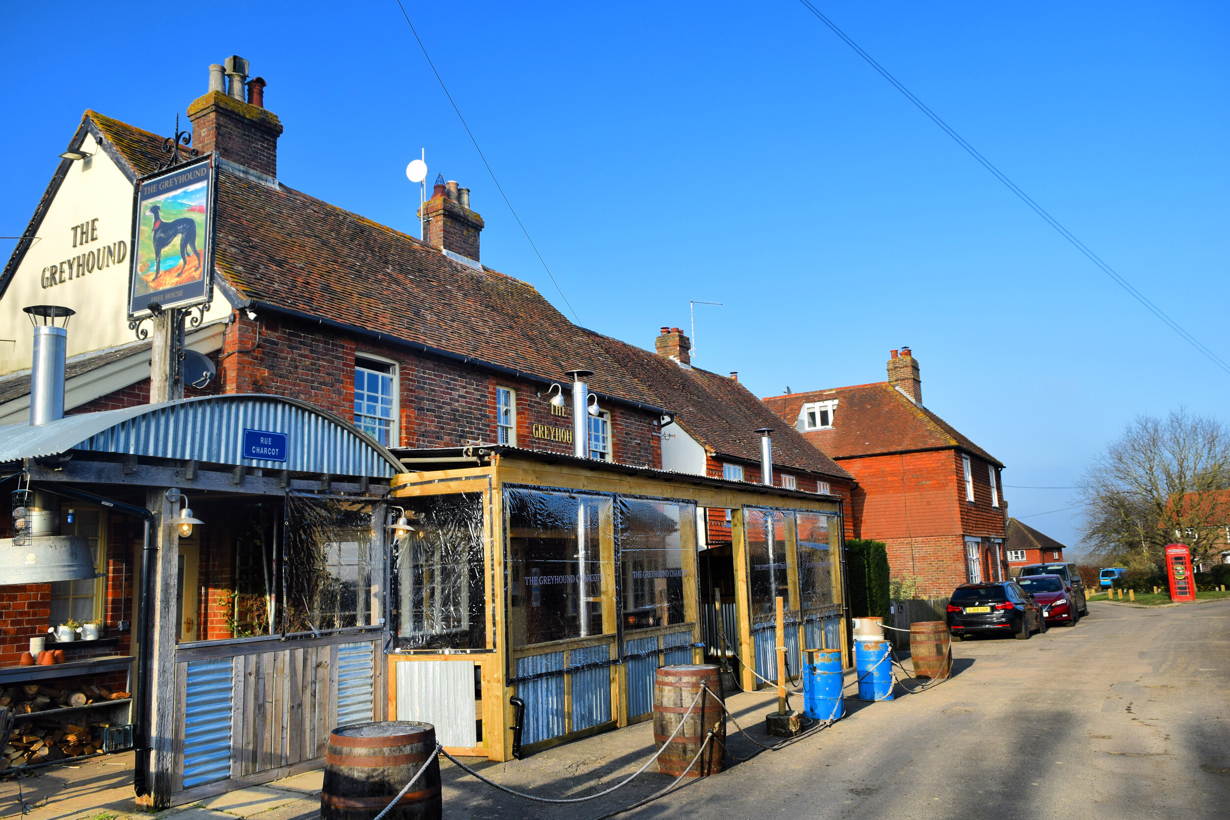
Turn left and after a short distance you will reach The Greyhound, Charcott. If you've not visited before, you can expect an independent gem. Fran and Richard, the current owners, have worked hard to transform a sleepy local into a modern pub and beer garden that simultaneously serves the community, whilst also welcoming visitors from miles around.
Part of the reason that this Kent pub is so special is that it embodies the notion of support local. The kitchen is supplied from the family farm back up the hill in Weald and the bar features local brews supplied by Larkins, an independent Chiddingtsone based brewery that uses Kentish hops grown just a few miles up the road. You can check the Greyhound's opening hours and menu here.

The Greyhound, Charcott
Upon leaving the Greyhound turn right and follow the road for 90 metres before turning right into the lane, as you retrace your earlier steps. Continue up the lane and then pass through the metal gate on your right before crossing the field diagonally to the next gate.
Pass through the next gate and then this time continue straight ahead, following the path besides the hedge. Be sure to keep the hedge on your left and the field to your right.
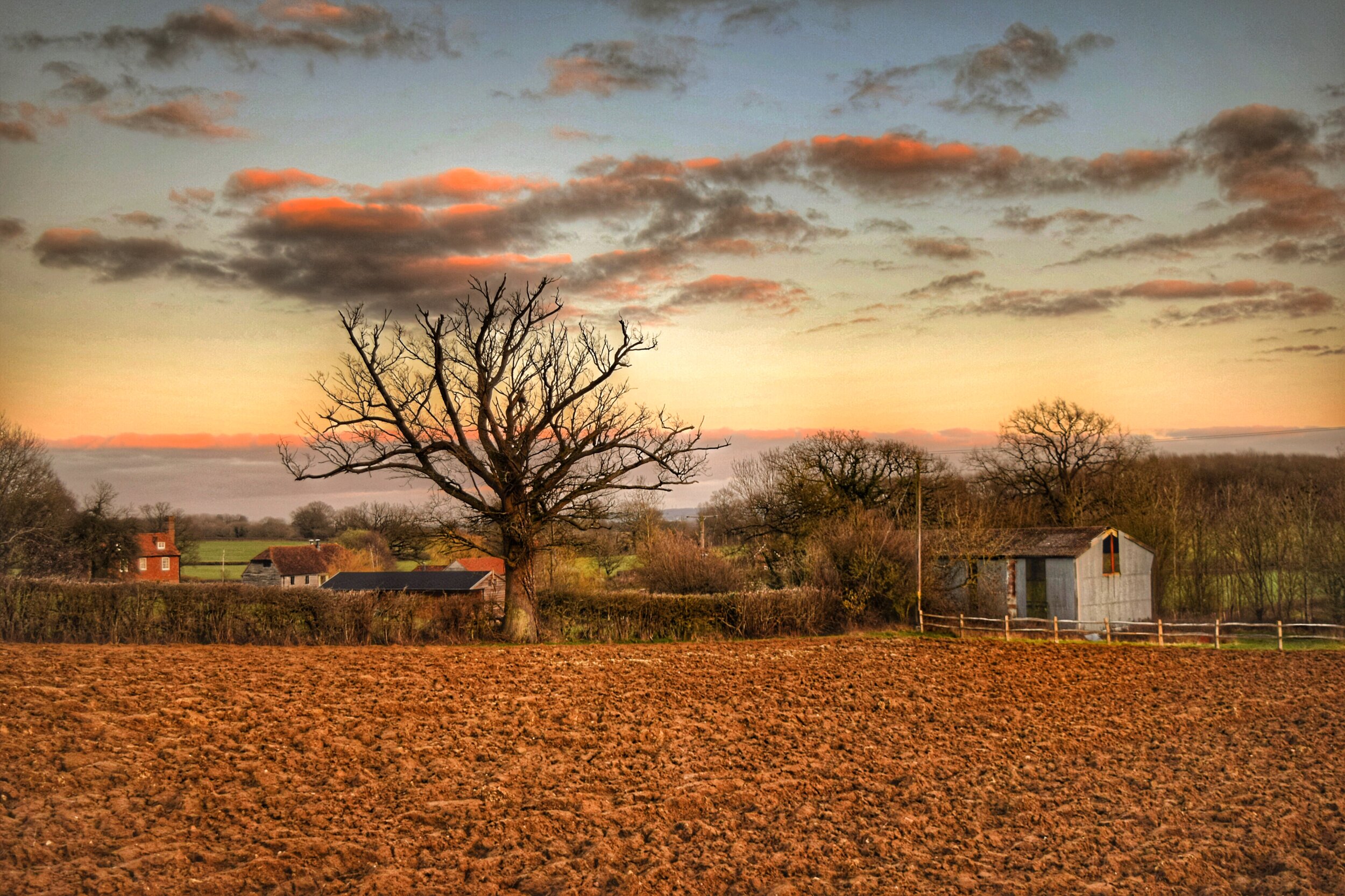
Tree lined fields and distant oast houses line the horizon at every angle as you make your way deeper into the countryside. The silence here is only interrupted by the exuberant bird song or the occasional hum of a tractor.

Deep into the Wealden Countryside
Keep going downhill and cross over a stream that babbles its way through a boundary of trees. On brighter days the sun leaks through the branches and shimmers on the shallow water.
Having crossed the stream, continue uphill and through the field. When you reach the hedgerow continue straight on, keeping the hedge to your left, then just before you reach the trees take an immediate left and follow the path uphill through the field.
Beneath your feet the soft mud will give you some clues as to who or what has trodden these paths before you. The prints of fellow walkers are easy to spot, but if you examine carefully you may see the hoof prints of the elusive deer that roam these parts. This soft wealden clay is just one slice of the geological layer cake that defines the geography of the Weald.

Prints in the soft Wealden clay
The foundations of the Weald were formed over a hundred million years ago in a time when dinosaurs still wandered here. As the sediment from ancient seas and lakes settled in this area, layers of sand, rock and mud gradually built up. When the continents collided 65 million years ago, the earth moved and these layers lifted up forming a massive chalk topped dome that spanned South East England and Northern France. This is known as The Wealden Anticline.

Geography field trip anyone?! (Pic. Wiki)
For millions of years this dome created a land border with Europe, but this was to change approximately 450,000 years ago when a prehistoric geological Brexit occurred. Nature voted leave and two gigantic floods eroded the eastern side of the dome creating the The English Channel and separating The Weald from France.
Over time various ice ages ate away at the remains of the Wealden dome, slowly exposing the different layers of rock, sand and clay. Whereas the soft chalk and squidgy clay were quickly whittled down, the harder rocks and sandstone eroded much more slowly, resulting in the formation of the hills, ridges and valleys that make up the Weald today.
The area you are walking now is part of the Low Weald, a horseshoe shaped area that runs from the chalky edges of Eastbourne to the salty fringes of Romney Marsh. Dig below the topsoil in your garden and it won't be long before your spade hits the thick stodgy Wealden clay that is characteristic of this area. As any Tonbridge gardener will tell you, this sticky earth is mercilessly claggy and waterlogged in the winter, yet rock solid and bone dry in the summer. The wealden clay may be the bane of gardeners, but historically it was a boon for the brick makers, who set up brick fields all over Tonbridge. You can learn more about the history of the town's brickworks and the way they shaped the town here.

Geology Rocks! (Pic: Weald Geology)
The area inside the horse shoe is the High Weald and is characterised by its steep hills, sandy soil and rocky outcrops. Where the sandstone has taken much longer to erode than the surrounding soft clay, it has left behind unusual rock formations, such as the Chiding Stone, which you may have seen on our Castle on the Hill Walk or The High Rocks in Tunbridge Wells. Local sandstone has also been quarried to create spectacular man made creations though such as Calverley Park in Tunbridge Wells and our very own Tonbridge Castle.

Looking through the trees to the wooded hills of Low Weald
Lastly there is The Greensand Ridge - not the gin - but the narrow ring of green tinged sandstone that is sandwiched between The Low Weald and the chalky North downs. Locally this incorporates Sevenoaks and the villages of Shipbourne, Plaxtol and Ide Hill. If you would like a taste of the spectacular views that the ridge offers then look no further than our Steeplechase walk.
If you're still with me at the end of that geographical tangent then let's continue with the walk. Pass through the gap in the trees and then cross the next field, before continuing through the gap in the next treeline and heading downhill towards Little Hale farm.
The gentle slope opens up the surrounding view as you gaze downwards upon a patchwork of tufty hedges, lush green fields and little terracotta coloured houses that are synonymous with the Low Weald. This rustic view has barely changed over hundreds of years, as this forgotten corner of Kent has been left largely undeveloped.

A view of Little Hale Farm
Cross over the little stream and on your right you will pass a large pond that would not look out of place in a Constable painting. As you walk uphill, keep the farm to your right and walk past a small pond before passing through a metal gate.
Turn right up the lane and then walk up the road for approx 30 metres before taking a left through another small gate. Continue straight ahead, following the muddy path running between the hedge and a field. When you reach the top of this path, there will be a pair of ropes running across the path. Pass through these and then continue straight on.
Just after you pass the farm you will see a metal kissing gate on your left. Walk through this and then continue uphill until you pass through a second kissing gate. After passing through this turn right and walk approximately 50 metres to the hedge and then pass through a third gate. Having walked through this, continue straight on, heading in the direction of the oast house. To your right there will be another big view across the Weald, where you can just pick out the village of Bidborough perched up on the fringes of the High Weald.

Looking back across the valley to The High Weald
When you reach the stile, climb over, then continue down the driveway before climbing a second stile that leads into a quiet country lane. At this point continue straight along the lane for 30 metres, before turning right into a track leading to a garage.
Follow the path between the left hand side of the garage and a large metal gate, then continue uphill to the left as the path passes between a wooden shack and an open sided brick barn. Then walk straight on through the gap in the fence and then follow the path diagonally right across the field as you head downhill once more.
The change in direction, shifts the panorama which now sweeps across to the tips of the North Downs. Whichever way you look there’s a view though, obscured only by the three large trees that stand watch over this hill.

A change in direction as you head downhill
Once upon a time these rolling hills would have been covered in a fairy-tale forest that was roamed by wolves and wild boar, not to mention the witches and bandits that made home here. The giant wood measured 120 miles by 30 miles, covering the entire Weald. The Romans named it Sylva Anderida after the Anderitum the Roman fort in Pevensey. After they upped sticks and left, their Saxon successors called the forest Andredsweald. Weald was the Saxon word for forest and the name has stuck ever since.
Hundreds of years of deforestation diminished this great wood as land was cleared for farming and trees were felled to fuel the furnaces of the burgeoning iron industry. Despite the rampant clearance, the Weald remains the most wooded part of the UK, with woodland accounting for 14.1% of the landscape.
At the bottom of this path, walk down the steps and cross the bridge before passing through a metal gate. Continue along the path to your left and then follow this between the trees for 50 metres, before taking the path on your left which cuts across the field.

Remnants of the ancient woodland that once covered the Weald
When you reach the edge of the field continue straight on along the narrow muddy path as it runs between a wood and a thick hedge. The path leads into another field where the view now veers to the right. You will just about be able to make out West Kent College (the large bright white building in the distance) and the Castle Hill radio masts (two tiny grey lines protruding from the wooded hills above.
Continue through this field for approximately 100 metres before climbing the stile on your left. Having climbed this, continue straight on across the grassy field heading towards the far hedge. When you reach the hedge, cross the ditch via the wooden bridge and then walk across the stony track and then go through the rambler gate.
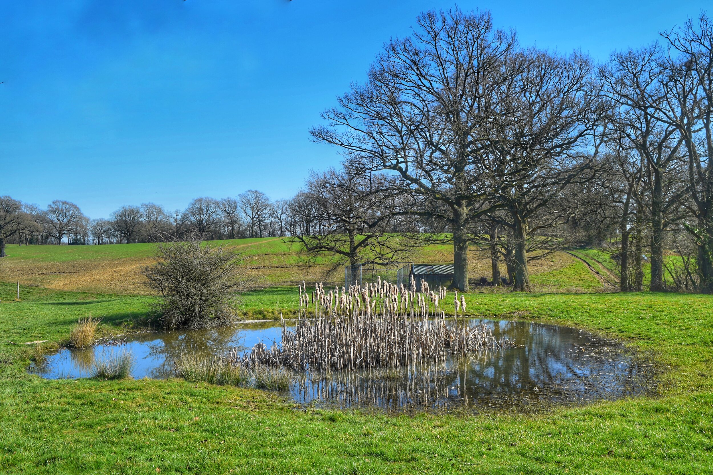
Walk uphill through this unkempt field, keeping to the left of the clump of trees surrounding a deep pond. Along with ancient woodland and sticky clay; ponds are a very common feature of the Wealden landscape- there are over 13,000 in the High Weald alone. Many of these are man made and date back to when medieval farmers dug up the nutrient rich clay, and mixed it with limestone to create Marl, a primitive fertiliser. The deep holes they dug were called Marlpits. Take a look at a map of the weald or run a google search and you will see lots of place names with Marlpit in their title. Today these old ponds are wildlife havens that support thriving ecosystems.

One of many field ponds that feature on this walk
Continue downhill and then pass through two metal gates in quick succession. After the second gate, keep walking downhill towards the hedge. It's nearly impossible to spot the gap until you are right on top of it, but when you get to the hedge you will spot a rickety bridge. Cross over and then follow the path across the grassy field and down another hill. This section of the walk is very slippery after rain or when muddy, so watch your step.
At the bottom of this hill you will come to another bridge. There is only a rail on one side of the bridge and it's a high drop to the steam below, so do be careful when crossing!
Once safely across, walk uphill following the path to the right of the barb wire fence. Continue straight on past the ditch, heading for the far hedge, where you will find a kissing gate in the left hand corner. Go through this and then cross over the ditch and onto Hale Oak Road.

The footbridge towards Long Barn
Cross the road with care and directly opposite you will see the bridleway you came down earlier. Ignore this and take the footpath on the right slightly further up the road.
Follow this path between a field and a strip of woodland, then continue over a wooden foot bridge, then walk up and across the next field, passing under two large trees. At the top of the hill you will see a beautiful historic house called Long Barn. Since being built in the 14th century this beautiful old house has enjoyed an incredible history that features an all star cast.
One of its earliest residents is alleged to be the writer and printer William Caxton, famed for being the first person to introduce printing to England. Nobody knows when or where Will was born but in his first printed work he claims to have been born and educated in the Weald of Kent. Now as we learnt earlier, The Weald is a pretty big place, so perhaps unsurprisingly his birthplace is contested by not only Long Barn, but also Tonbridge, Hadlow and to really confuse things Tenterden!

Long Barn, once the home of Vita Sackville West
Caxton's historic connection to Long Barn may be flimsy, but there's been plenty written about another of its literary notables, Vita Sackville-West.

Vita Sackville West (Pic: Wikipedia)
Vita and her husband Harold Nicolson moved to Long Barn in 1915, when they acquired the house as country retreat. The pair would have already been familiar with the Weald as Vita was born just a few miles up the road at the family home in Knole, Sevenoaks. Her aristocratic upbringing was a blessing and a curse, as in keeping with tradition Vita was denied the opportunity to inherit the family home and the title that went with it.
Although Long Barn is a fraction of the size of Knole, the pair made it their own, battling with the heavy wealden clay to create a formal garden that is still admired and celebrated today. Their time in the Weald influenced some of Vitas most acclaimed writing, including her award winning poem The Land, an epic piece that documents the changing seasons of a year in the Kent countryside.
It wasn't just the wooded clay hills that inspired her work though, many of Vitas early books drew on the love affairs that punctuated her open marriage. Both her and Harold were bisexual and had a string of same sex relationships. One of Vitas most famous lovers was her fellow writer Virginia Woolf, a regular visitor to Long Barn, along with other members of the Bloomsbury set. Woolf also took influence from Vita, basing Orlando, the lead character in one of her most famous novels on her. The complex depth of their relationship has fascinated society for nearly a century, inspiring books, plays and films as well as making the pair historic LGBTQ icons.
Vita and Harold left Long Barn in 1931, moving to the other side of the Weald at Sissinghurst. Once more they worked together to perform horticultural miracles, creating a garden that is now a world famous legacy that pulls in hundreds of thousands of visitors each year. Despite their move to the High Weald the pair retained ownership of their original country house and rented this out to a series of high profile tenants.

The Weald of Kent inspired some of Vita Sackville’s most acclaimed work
One of these was the famous aviator Charles Lindbergh, an American pilot that became an overnight sensation in 1927 when aged just 25 he completed the first solo non-stop flight between New York and Paris. Over the course of the insane 33 hour journey he battled hallucinations and fatigue as he navigated his tiny plane across the Atlantic. When ‘The Spirit of St Louis’ touched down it was literally mobbed by a crowd of thousands as the once humble mail pilot became a hero on both sides of the pond.

The Lindbergh’s (Pic: Yale university)
As France and America tripped over themselves to honour him, the man of the moment flew around the Americas, met by millions of adoring well wishers at each leg. It was during this tour that Lindbergh met his wife Anne Morrow, the daughter of a US ambassador based in Mexico City.
The pair reunited the following summer and then after a short relationship and a secret engagement they married in 1929 and began new adventures of their own. Charles taught Anne how to fly and she soon became the first woman to obtain a first class gliders pilots licence. This led to her taking on the role of Lindbergh’s co-pilot and radio operator. In 1931 they broke new ground when they flew from the USA to Japan and then onto China- quite impressive given my wife and I can barely make it to Maidstone without arguing about directions!
The subsequent autobiography and sponsorship deals which followed made the Lindbergh’s extremely wealthy but it was the darker side of this fame and fortune that inadvertently brought them here to Long Barn.

Long Barn, Sevenoaks Weald
On 01 March 1932 their baby son was abducted from their home in New Jersey - the kidnapper left behind his footprints and a ransom note demanding $50,000 USD ( nearly a million pounds in todays terms).
The couples fame meant that the case quickly became headline news and offers of support came rolling in from a wealth of contacts as well as some more salubrious characters. One of which was the notorious monster Al Capone who hoped to reduce his jail sentence in exchange for helping the Lindbergh’s.
Despite the ransom being met, the little boy was tragically found dead two months later just a few short miles from their home. The child’s murderer was eventually caught, tried and sentenced to execution but the ensuing media circus did not abate.
At their wits end, the Lindbergh’s and their new baby fled America on a boat to Liverpool. They were the only passengers and their whereabouts were kept private until they had safely sailed. After a short stay with relatives in Wales, the young family took residence at Long Barn where they stayed for the next three years. The intense press speculation continued, but this sleepy village location afforded the family some much needed peace of mind as they found solace in this corner of the Kent countryside. You can read more about Charles Lindbergh and his story here.

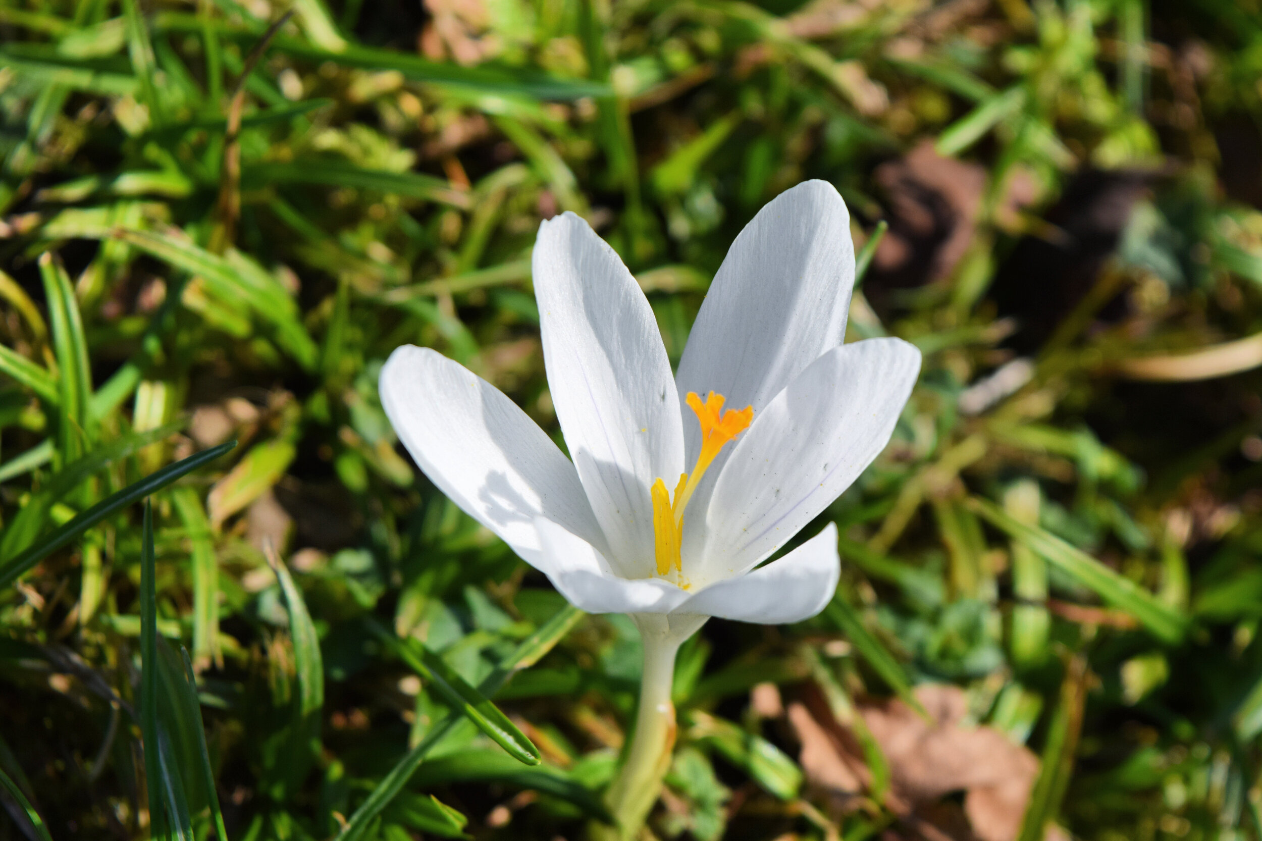
Crocuses near Long Barn
When you reach the fence, turn left and then turn right up Long Barn Road, passing the entrance to the house. When Spring arrives the grassy verges which line the road side here will be scattered with bright purple crocus, vibrant daffodils and pastel yellow primroses.
As you continue along the road into the centre of the village you will pass by a string of pretty houses along the way. The weather boarded Phoenix cottages are particularly attractive.

Phoenix Cottages, The Weald
Before long the village green comes into sight once more. The knobbly London plane trees which line it's Northern edge add a lot of character, as well as providing shade for the plethora of benches that flank this side of the green. This is a perfect spot to enjoy a picnic and glimpse the view back towards Tonbridge.
As you near the end of your walk you will see the village school on your left. These days it is a modern mixed primary school, but if you look above the doors you may spot the historic stone tablets which marked the separate entrances for boys and girls. I've already overran on the word count for this walk, but if you would like to read more about the history of the school you can find an interesting piece here.

The village school with its historic separate entrances for boys and girls
Continue around the edge of the green and you will return to the Windmill pub, Weald. The pub serves up great value meals and well kept beers. It prides itself on its award winning cask ale and gin menu, so whatever your tipple you can be sure of a refreshing drink at the end of your walk.