
Walk 12: The Green Mile
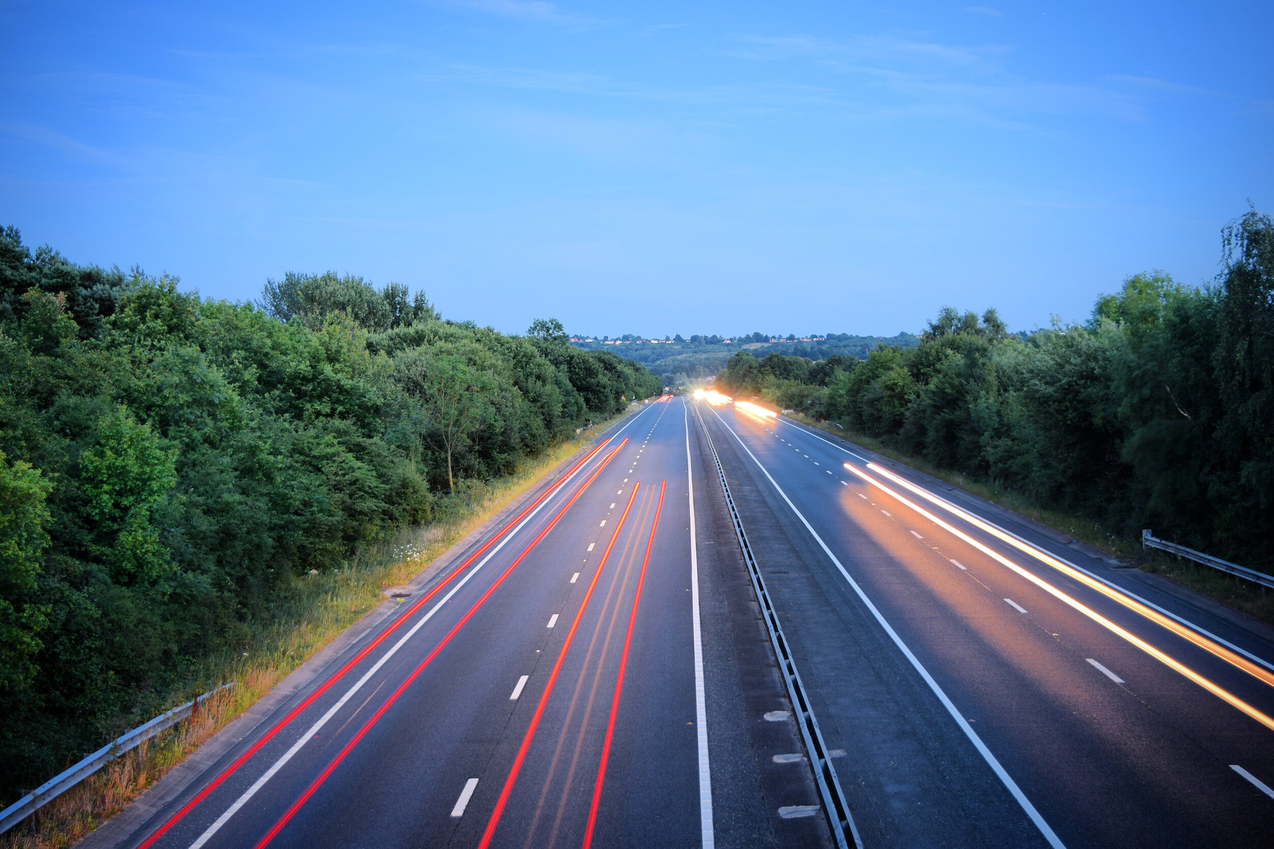

As lockdown gradually phases out, I can’t help feeling that the pace of life seems to be accelerating once more. After months of nowhere to go and no one to see, the traffic jams are back and the gaps in the diary are rapidly beginning to fill up.
In those initial two months it felt like a challenge to occupy the endless hours we had been presented with. Looking back now though it was a blessing to have had the luxury of unlimited time to experiment with obscure bakes, devise creative quiz rounds, grow our own veg and of course explore the forgotten footpaths around us.
I had always tended to assume that the pace of life was historically slower than it is in modern times, but this walk has made me think otherwise. The various engineering feats I’ve encountered en-route have mostly been constructed with the intention of making life faster and more productive.
There is no doubt that some of these achievements these have changed Tonbridge and the surrounding areas for the better, but for the meantime I’m going to try and savour the last of the lockdown.
If like me, you are still hankering for life in the slow lane, then this long relaxed walk is a good place to start.
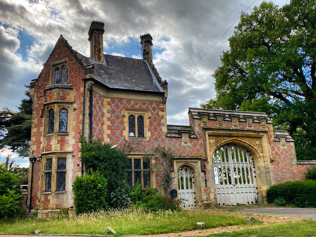
Begin your walk at Cafe In The Park, Haysden Country Park.
Walk straight ahead and you will see the ballast pit, an oblong shaped lake that's origin lies in the railway line running beside it.
'The Pit' was formed in 1842 when it was dug out to provide ballast for the adjacent railway embankment. Upon completion it was flooded and adopted as the home of Tonbridge & District, Angling and fish preservation society. The club were formed in 1875, with the intention of providing sport for its members, whilst attempting to prevent poachers from exploiting the River Medway. In its early years the lake was also home to Tonbridge Skating club, whose members could skate across the frozen surface each winter.
In keeping with the clubs tradition this lake can only be fished by senior members. My source told me that growing up, the pit was shrouded in mystery. The wide eyed junior members were led to believe that a train had once veered off the embankment and had sunk to the bottom off this cavernous abyss. You can only begin to imagine the anti climax they felt when they finally got to fish the lake and realised it is just 4 feet deep.

The Old Ballast Pit, Haysden Country Park
Turn left and walk under the railway bridge, continuing straight ahead, with Barden Lake to your right.
This gorgeous lake is the 'poster girl' of Tonbridge, adored by dog walkers, families, runners, photographers and of course fisherman! The lake was originally dug between 1974-1980 to extract sand and gravel. Upon completion it was opened along with the rest of Haysden as a country park in 1988. The park was awarded 'Green Flag' status 2006 and has maintained this every year since.
Turn left again, following the path over Sharpe's Bridge as you cross a quiet tributary known as 'The Shallows'. When talking to older Tonbridge residents about "The Shallows" their eyes often light up, as they recall childhood summers swimming and fishing in what was once a fast flowing stretch of water. Its name derives from the shallow sections of river that were bedded with gravel, to permit a shallow crossing point.

Barden Lake, Haysden country park
As you continue round to your left you will see Stone Lock. This was built in 1829, allegedly using stone acquired from Tonbridge Castle. It would certainly explain some of the gaps in the remaining castle walls. Sat next to the river, this bone dry lock looks suspiciously out of place, even more so when you realise that it has never been filled. We'll come back to this later on in the walk.
Continue along "The New Cut “, a long, straight section of the river that was canalised in the 1970's to accommodate the construction of the flood barrier further upstream. Keep your eyes peeled here as I've seen a family of green woodpeckers and a low flying Barn owl on some of my recent walks.
Once you reach the wooden gate, turn left and follow the path under the railway line. There’s just enough room to squeeze under this brick built Victorian bridge as you track the original course of the Medway. Ironically this structure is called 'Water bridge', but since the flow of the river was diverted this part of The Shallows has slowly dried up and become overgrown, making it more of a marsh.

The Shallows, Haysden country park
Continue straight ahead, passing through the metal squeeze gate and then walk over Straight Mile Bridge before turning right and following the drainage channel upstream.
At the end of this path you will reach a huge embankment. This mound is part of the armour used to try and protect Tonbridge from flooding. When the nearby barrier closes its gates, the excess flow backs up and submerges the flood plain behind this embankment with up to 5.8 million cubic metres of excess river water. Needless to say, do not attempt this walk after sustained rainfall. If in doubt you can check the status of the flood alerts here.
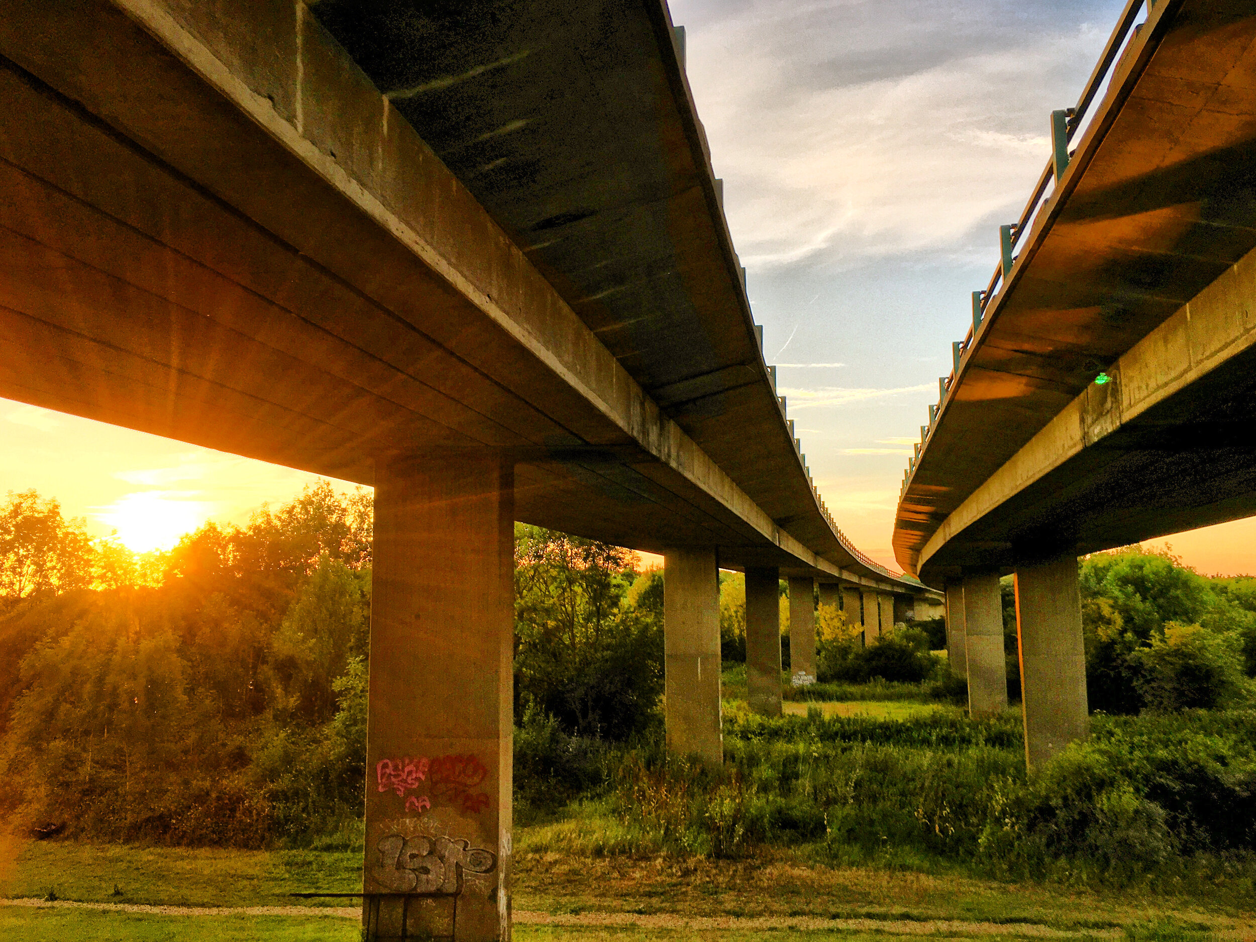
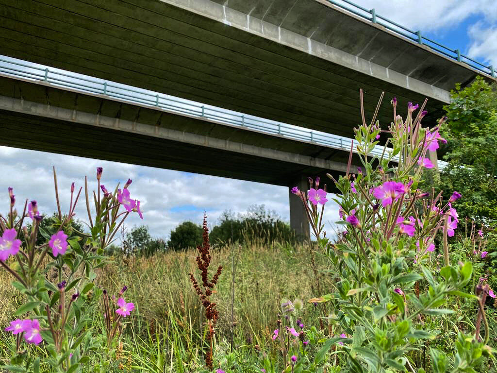
Climb the embankment and then turn left, walking along the top before passing under the A21 flyover.

The Medway Viaduct, Tonbridge
This lofty viaduct was opened in 1971, along with the rest of the Sevenoaks bypass. The ribbon was cut by the then prime minister, Sir Edward Heath and the new road was blessed by the Bishop of Rochester. After years of traffic jams in Tonbridge, the new road must have felt like a God send, but in reality the traffic jams had just been shunted up the road to nearby Pembury and Southborough.
The brutalist combination of concrete and subtle curves, sits in stark contrast to the lush flood plain below, making it irresistibly photogenic. Whether you love it or hate it, the 440 metre long flyover remains an impressive piece of engineering.
Turn right and follow the gravel track down hill and then continue anti-clockwise around Haysden Water.

Tonbridge Town Sailing club, Haysden Water
Haysden is only slightly bigger than neighbouring Barden Lake but feels a lot larger, especially when the boats of Tonbridge Town Sailing Club are out on the water.
The man-made lake was dug out in the 1960's, like Barden and the Ballast pit, it was being plundered for its abundance of gravel and sand. Hundreds if not thousands of years of the Medway flooding this part of Tonbridge have resulted in the gradual deposit of both materials across these former flood plains.
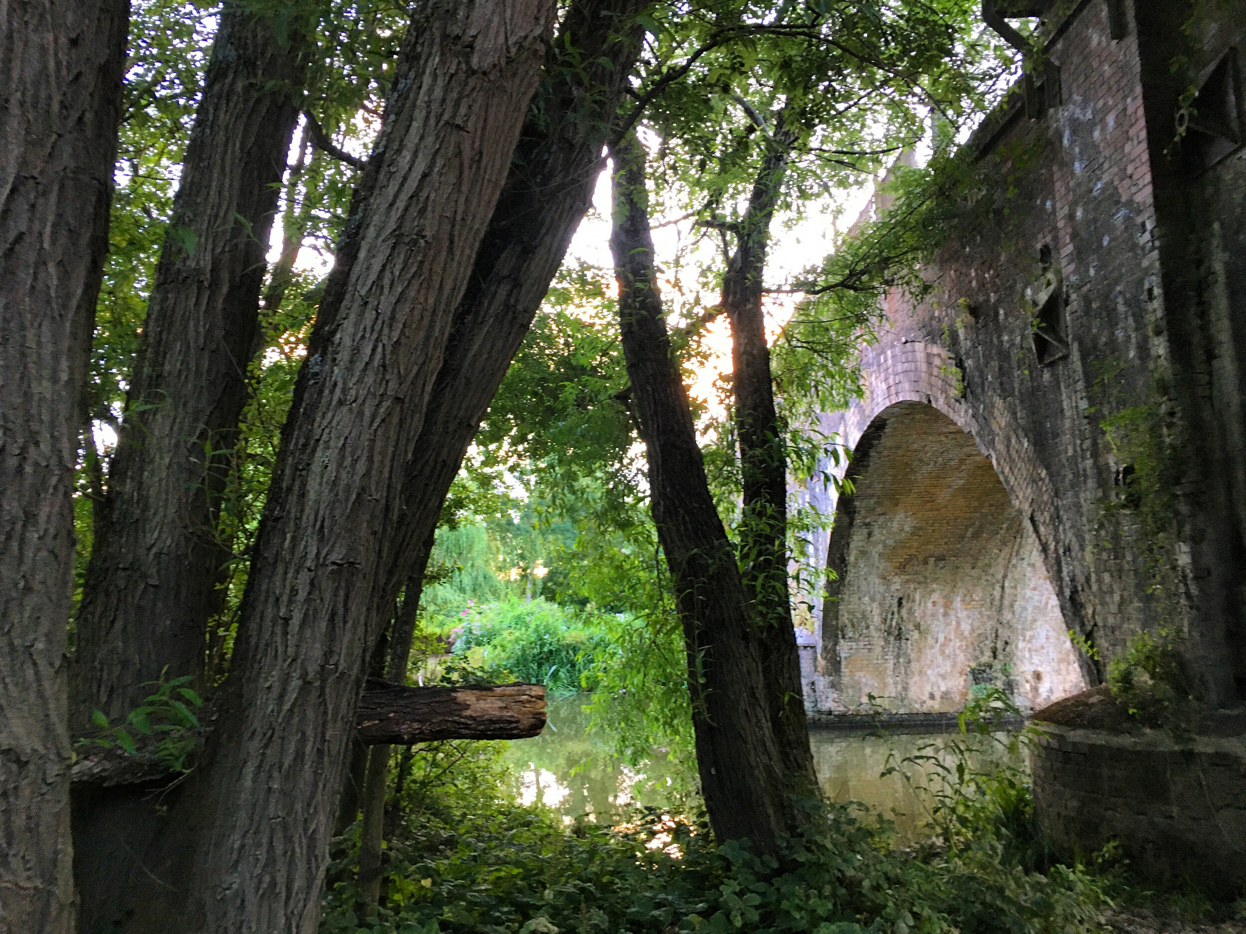
As you walk round the lake you will see the Medway curving back into view on your right. Make sure you stop and appreciate the view across the water as the river is crossed by the six arches, a glorious Victorian railway bridge that forms part of the original London to Tonbridge railway line.

The Six Arches viaduct, River Medway
Continue straight ahead until you reach a fork in the path. At this point take the left hand turn, then take an immediate second left as you trace the path around the edge of the lake. Looking back across the water will give you a panoramic view of the flyover.
Follow the path round the and you will come to a narrow peninsula, looking across to a secretive wooded island. The reflections on a sunny day make this little detour well worthwhile.
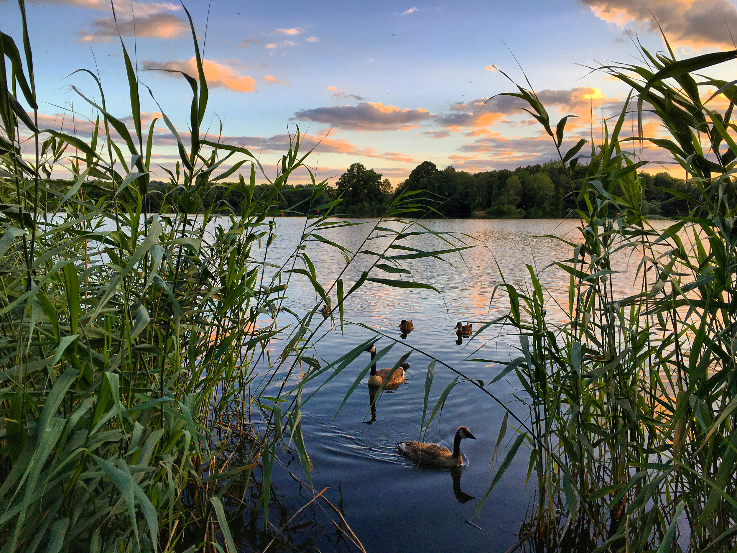
Keep going along the path as it weaves into the woods and you will see a tributary branching off from the lake. This is the 'Straight Mile', continuing its journey from Haysden.

Haysden Water at sunset
Turn left, crossing over James Christie Bridge and then turn right, following the path through the woods. This leafy span of the walk was to be the tow path for the dried up canal to your left. The canal was the brainchild of James Christie, a maverick entrepreneur who paid a heavy price for his ambitions to tame the Medway.
Back in the 1820's, the railways were yet to come to Tonbridge and the town's boom was being powered by the Medway Navigation Company's monopoly of the river. At the time they owned and operated all of the locks between Tonbridge and Maidstone, giving them control of the barges and wharves that exported the town's famed timber and imported its vital supply of coal.
Inspired by their huge profits and wanting a piece of the action, Christie took an expensive punt and bought Tonbridge Watermill, along with its water rights for the sum of £20,000 (to put this in context St Johns church in Hildenborough was designed and built 20 years later for just £2,300).

The tow path running beside ‘The Straight Mile’
Christie's plan was to build a canal between Penshurst and Tonbridge, one that would bypass the narrow and meandering shallows - cutting transport times and allowing bigger barges to be taken up and downstream.
Understandably The Medway Navigation Company were fearful for their monopoly and the effect that the new canal would have on the flow of water they depended on to keep control of the river. They responded by taking immediate legal action, securing at great expense an injunction against Christie that would prevent him from interfering with the flow of the Medway.
Undeterred, Christie continued to meddle with the course of the flow and at one point managed to drain Town lock, stranding the barges of his rivals and sparking fights between their bargees and his own gang of navvies.

An old wharf on the River Medway, Tonbridge
Whilst the retaliatory legal battle raged on, works continued over the next three years, by which point the Straight Mile had been dug and Stone Lock was in place ready to be connected to the river.
By 1832 the injunction had been upheld and despite trying to overturn this in parliament, Christie's efforts had failed. The Navigation company refused to connect the canal to the Medway and Christie was left bankrupt.
Fleeing to America he left behind the dry canal and liabilities of £150,000. His creditors tried to force the Medway Navigation company to finish the 'Straight Mile' project, but content with their monopoly of the river downstream, they refused. Their heyday continued unchallenged for a few more years but in the end it was the opening of the nearby railway line that proved to be the beginning of their downfall. You can read the full history here.

Stone Lock, Haysden Country Park - a remnant of James Christie’s ‘Straight Mile’
Look through the trees on your right you will see Longfield Lake. As with the others, this was also formed from an old gravel pit. The quiet stretch of water is solely used by the fishing club, although its anglers have to compete with a flock of hungry cormorants that are often spotted here.
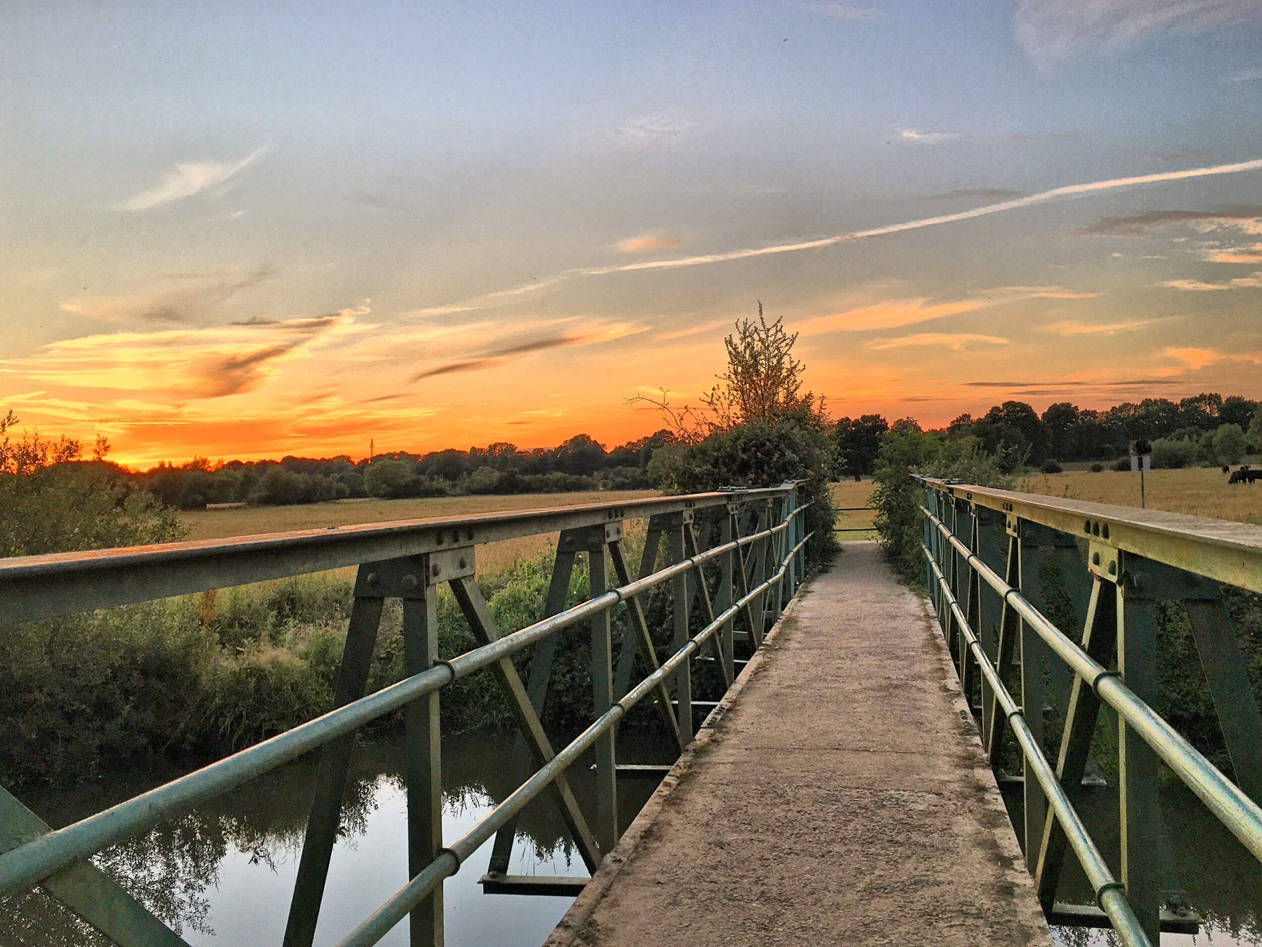
Just before the end of the Straight Mile, cross over the concrete bridge and then follow the path across a metal girder bridge that will take you over the Medway.
Follow the path across the water meadow, on hot dry days these grasses will be thronging with the sound of crickets. Walk through the kissing gate as you climb the embankment, a buffer to protect the railway line from floods.

Crossing the Medway at Leigh
Pass through the tunnel and then walk uphill before continuing straight ahead down the aptly named Green View Avenue. As you approach the end of the road you will see the village green coming into view.
Leigh, originally named Lyghe, previously referred to as La Lye, Leaga and Leghe is pronounced "Lie" (Not "Lee"!), takes its name from the old English word for a 'Forest clearing'.
The first records of the village date back to the 11th century, when this then hamlet was under jurisdiction of the De Clare family, original owners of Tonbridge Castle.

Leigh Village Green
For centuries, Leigh and its surrounding countryside has been owned by Hall Place - the grand estate that hides away behind the brick wall running the length of the village.
The estate has been home to the largest house in Leigh since medieval times. In 1447 it was granted to Humphrey Stafford, the first Duke of Buckingham, a significant player in the War of The Roses and bodyguard to Henry V. It was part of a package of land belonging to nearby Penshurst Place. The family lost their claim to the estate when Sir Humphreys grandson rebelled against the dastardly Richard III and was punished by execution. The ownership of Penhurst and Hall Place was reinstated by Henry VII before Henry VIII snatched it back again, fearing that the Third Duke of Buckingham was plotting to take his crown.
By 1785 Hall Place was independent of Penshurst and owned by Robert Burgess. He rebuilt the house from scratch in the Georgian style of the time and added it to a property portfolio which included Groombridge Place and the manor at Speldhurst. I can't think what it was that attracted his 23 year old bride to this 60 year old property magnate, but nevertheless they remained happily married for the next 9 years, before Sarah remarried to James Harbroe.

South Down House, Leigh
Upon the death of her second husband in 1820, Sarah sold Hall place to a young man called Farmer Baily. The young farmer had come into riches of his own after selling the family farm in East Dulwich for a small fortune. Whilst the countryside of Dulwich was swallowed up by the growing city, the Baily's opted for the quiet life in rural Kent. Sadly he died at the age of 25, leaving his wife Ameila to bring up their 4 year old son Thomas. Amelia re-married and when her son came of age he inherited Hall Place in 1845, along with chunks of the village that by now belonged to the property. The young Farmer Baily set about changing the estate, and the village, before selling the property in 1870 to a wealthy MP by the name of Samuel Morley.
Morley had made his fortune the hard way, having taken on the family woollen business when his older brother and father retired. As a Victorian employer, Morley bucked the trend and offered his workers fair terms and opportunities.
His hard work and fair approach paid off as the business expanded massively, to the point that it was at one time the largest of its kind in the world. Now the richest commoner in England he could afford to turn his attention to publishing. Morley became one of the owners of the Daily News, a liberal publication that gave him a mouthpiece to speak out about slavery and other injustices he was passionate about.

A fountain installed by Morley to provide fresh water for Leigh residents
When he moved to Leigh the village experienced his philanthropy first hand. He began by replacing the drainage system at Hall Place and took the opportunity to bring the rest of the village up to the same standard. He then connected the many houses and cottages that he now owned with a supply of fresh water and gas. For those parishioners whose residences he did not own, he installed a number of fountains and water troughs in the village to ensure that the people and animals of Leigh had access to clean drinking water.
As well as rebuilding the grand house, Mr Morley employed Robert Marnock to landscape the considerable gardens. Marnock had an encyclopedic knowledge of trees and flowers, which he had already used to landscape Regents Park in London. After redesigning the grounds of Hall Place he went onto landscape Dunorlan park in Tunbridge Wells and parts of Kew Gardens.
Morley clearly appreciated the benefits of having green space, as it was him that arranged for the village green to be turned into a recreation ground with an access road and paths built around it. His gardeners were given free reign to provide the cottages owned by his estate with trees and flowers, whilst his tenants were awarded prizes for the best kept garden.

The large village hall, Leigh
Turn left and walk along the High Street. You will see the gothic looking village halls set back from the roadside. These unusual grade II listed buildings are a combined effort of young Farmer Baily and Samuel Morley. The larger of the two halls was originally commissioned by Farmer Baily as an extension to Hall Place. When Morley rebuilt Hall Place he moved the hall across the road, to provide a non-conformist chapel. He then went on to build a Sunday School.
Following his death in 1886 the congregation waned and the Chapel became repurposed as the village hall. The Baptistery then went onto become the British Legion after the second World War. The Morley family entrusted the halls to the village in 1952 and they continue to serve Leigh to this day.
Continue on until you reach the Fleur De Lis, the last remaining village pub takes its name from the row of cottages that were built by Farmer Baily. Look carefully and you will see the Fleur De Lis decorating the cottage closest to the pub, this French symbol, meaning purity or chastity formed part of the Baily families coat of arms. The cottages were sold by Farmer Baily at the same time as Hall Place and were acquired by Bartrum and Co, a Tonbridge brewery. The brewery extended the two end cottages, making them into a pub, before selling the other two onto Samuel Morley. It's a good thing that they got in their offer first, as Mr Morley was renowned for his temperance!

The Fleur de Lis, Leigh
Cross over the road with care and then retrace your steps back along the High Street, following the wall of Hall Place. This used to be the boundary of the deer park that once bordered this part of the estate.
When Samuel Morley died in 1876, his son Samuel Hope Morley took up the reins and continued to redevelop the village. Looking back across the road you will see The Square and South Down House. These characterful Tudor style houses were designed by Sir Ernest George and Peto architects. The firm had already built a similar design further down the High Street at 'The Forge Square', with both sets of cottages providing accommodation for the many villagers that worked on the estate.
By 1912 Samuel Hope Morley had been awarded the title of Baron Hollanden, following his role as Governor of the Bank of England ten years earlier. The title, along with Hall Place, passed down to his son Geoffrey in 1925. At this point the estate was at its peak, employing around 90 members of staff, including 18 gardners. The second Lord Hollanden owned most of the houses in the village, the blacksmiths, many of the shops, and approximately 50 cottages.

The Square, Leigh
This was all to change though when the law of property act was passed in 1925, phasing out the traditional rights of aristocratic rule. By the 1960's the estate had sold most of its houses and farms, and was now beginning to cut back on the number of staff it employed.
Turn left just before the Green and walk uphill past The White House. The White House dates back to the 16th century and is supposedly connected to the church by a tunnel which was once used by smugglers.
Continue uphill and through the church yard, this is the highest point of the village - if you peek between the cottages you will be able to see the village green below you and far reaching views beyond.

St Mary’s church, Leigh
St Mary's church was rebuilt in 1861. If you look closely you will notice it is built using two different types of stone. The reason behind this stems from an ancient rule decreeing that the upkeep of the church was to be split between the lay rector and the parish. The lay rector bore the responsibility of the chancel and the parish were to fund the rest of the repairs. In this instance the owners of the Penhurst estate (That the church sits on) chose one architect and Thomas Farmer Baily (acting on behalf of the parish) opted for another. The result was impressive if not a little mismatched.
Exit the path via the wooden gate, passing East Lodge. This fairytale entrance to Hall Place was one of Farmer Baily's first projects upon acquiring Hall Place and features the signature brickwork that we have seen throughout the village. Like the church tower this was also designed by his architect cousin, Charles Baily.
The Hollanden family finally put their estate up for sale in 2017, with the old house tactfully described as requiring some modernisation. It is not clear who the new owner is, but either way there is no doubt about the legacy that the Hollanden family have left this beautiful village.

East Gate Lodge, Hall Place
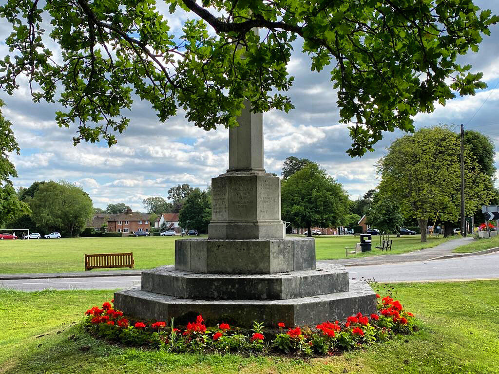
Cross the road with care and follow the path behind the war memorial and then continue along the pavement with the village green to your right.
In the corner of the green you will see a huge old oak tree. It is believed to be over 400 years old, making it older than many of the buildings we have seen on the walk so far. Oak cottage, the pretty white house that sits behind this tree was at one point home to a Christian reading room. It is believed that Mr Morley opened this to the labourers rebuilding his house in the 1870's, hoping that it would keep them out of the pub and discourage the drunkenness he despised.
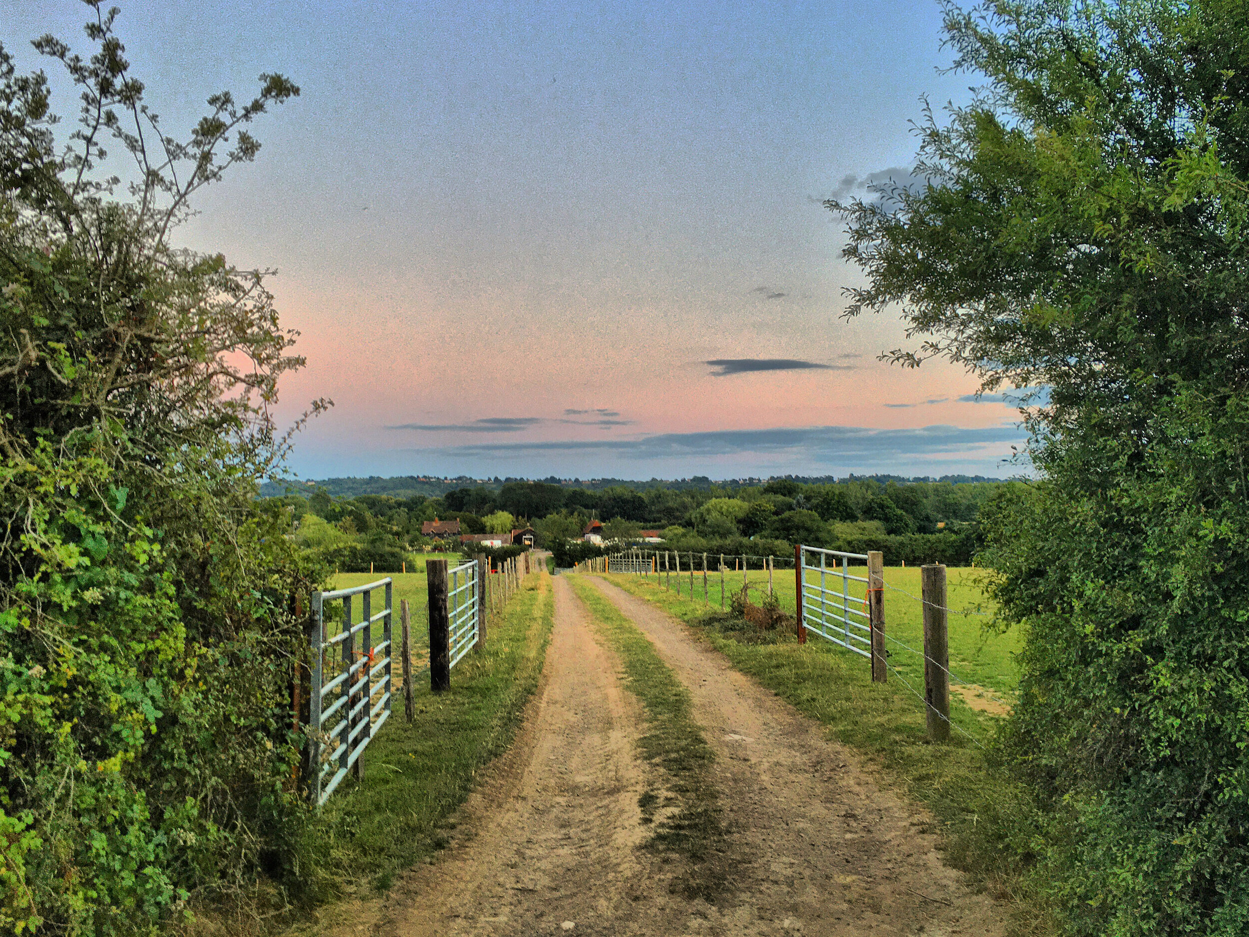
Follow the pavement until you see a footpath on your left. Walk between the hedges, passing through the wooden gate en-route. Walk past the converted barn and then turn right, before taking an immediate left through a second gate.

The giant oak tree, with oak cottage in the background
Continue through the blackberry bushes, then pass through a kissing gate - noting the little memorial plaque to Dolcie Stevens. Mrs Stevens and her husband were local residents of Leigh who once occupied Church Hill House which you passed earlier.
Walk along the wood chip path, then pass through a wooden gate, followed by a metal kissing gate. At this point the walk opens up again as you emerge into a large field.
Follow the path straight on, keeping the hedge to your right. Depending on how sharp your eyes are you may be able to pick out the Wrotham transmitter up on the North Downs to your left. The transmitter broadcasts radio and TV across the South East.

Looking towards the Sevenoaks Ridge from Moat Farm, Leigh
Pass through another kissing gate and to your right you will see Moat farm. The farm takes its name from a moated farm that dates back to the 13th century. The moat was excavated by the Kent Archaeological Society in the 1960's with the dig exposing a quantity of medieval pottery.
Keep going straight, before passing through a third kissing gate. Look down the track to your right and you will be able to enjoy a view of Bidborough Ridge and Little Barnetts Farm.

Little Barnetts Farm, Leigh
Cross over the footbridge and you will see the A21 rushing below you. The highway to Hastings is far removed from the slow pace of life that we have enjoyed during lockdown.
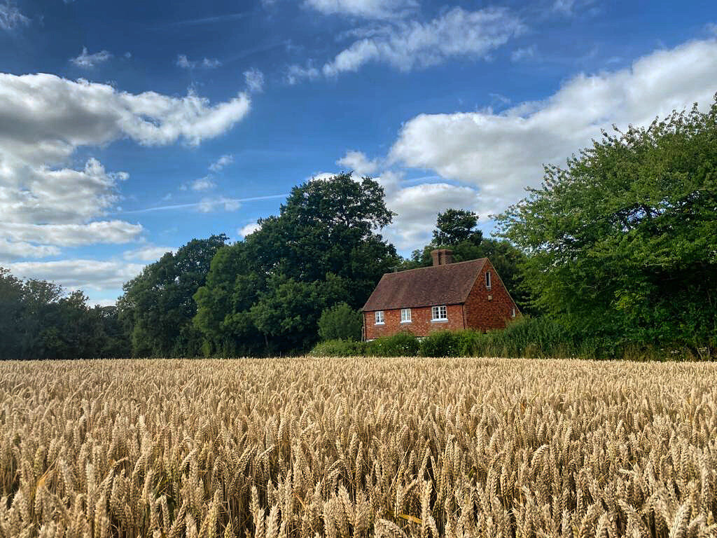
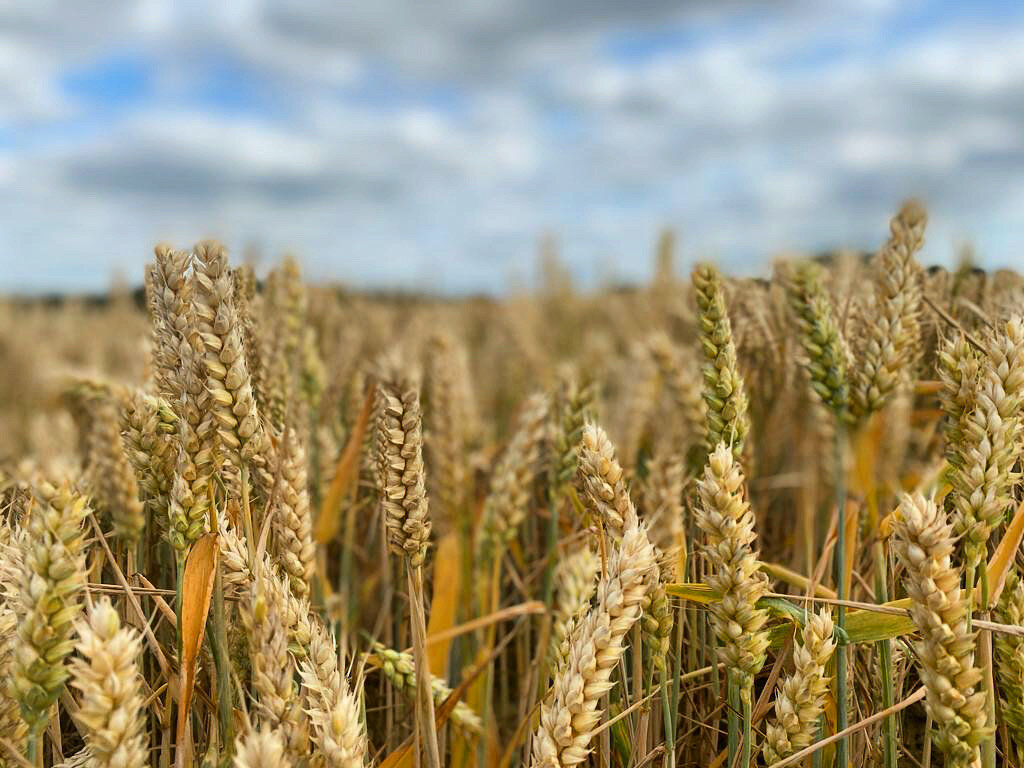
Continue on through the woods and you will emerge into a large field of wheat, across which sits Ramshurst Manor. The manor is nearly as old as Leigh itself, dating back to the 1300's. It was once inherited by Richard Children, a member of a wealthy local family that later went on to make home in Tonbridge. Richard died in 1765 before the house was passed onto his descendant George. The manor was then sold in 1817 after the family ran into financial difficulties. Legend has it that its later occupants were haunted by the ghosts of an elderly couple going by the name of Mr and Mrs Children. The creepy couple could be heard whispering and expressing sorrows over loss of the manor and were alleged to have been seen wandering the corridors of the mansion. It's a tall tale, but enough to make you think twice when the temperature drops in this part of the field. You can read the full spooky story here.
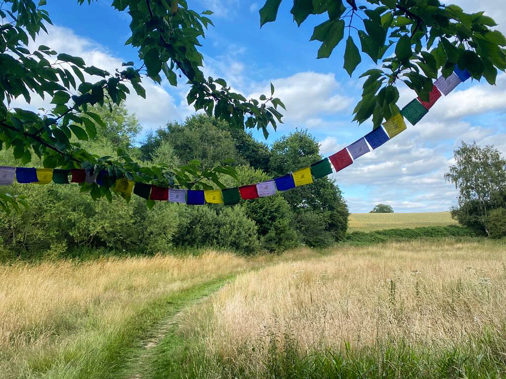
Walk past the secluded Brook Cottage and then cross over the wooden bridge adorned with colourful bunting. Follow the path into the trees and then cross a smaller bridge, before climbing uphill.

Looking across to Ramshurst Manor
As you walk down the grassy track you will see Meopham Bank across the field to your left. This was once home to a famous painter by the name of John Herring - you can read more about him on our 'Tales from the Shire' walk.
Walk down the grass track and then take a right hand turn through the wooden gate. Then turn left down the driveway.
When you reach the road turn right and follow this with care, passing round the bend. When you reach the past house, follow the road round the bends with care until you reach The Plough Inn.

The Plough Inn, Leigh
If you've not visited the Plough before, then you are in for a treat. This lovely country pub may be hundreds of years old, but its food and service is contemporary and on point. It is advisable to phone ahead, as the pub and its beautiful garden are often used for weddings.
Upon leaving the pub, turn right and then walk down the road for 200 metres before taking the second path on your left.
Walk uphill along the tarmac path through the woods and then along past the housing estate that was once home to the Tonbridge Gunpowder mills that give this hamlet its name.

Part of the old site of Tonbridge Gunpowder Mills…
The Powdermills were set up in 1811 by John Children and William Burton, a pair of young men, that had the financial backing of their wealthy fathers.
William Ford Burton did not appear to have a scientific background but crucially had the cash needed to put towards the £30,000 start up capital. He was bankrolled by his architect father James. The Burton’s lived in Mabledon, the mansion at the top of Quarry Hill, just one of the 3000 properties James had built in his lifetime.
John George Children brought not only money but science to the party. After studying at Eton and graduating from Queens College, Cambridge he continued with his inventions in a laboratory that his dad George had built in the family's back garden - the lab exists today . His father was a shareholder in the Medway Navigation company and one of the founders at Tonbridge bank. John was an only child, whose mother had died when he was just 6 days old. The duo lived in the substantial Ferox Hall, the grand residence that sits opposite Tonbridge School.

Ferox Hall, home of John George Children
It was John's love of experiments that formed the basis of his friendship with Humphry Davy, a young chemist that went onto make waves with his scientific discoveries. Davy might not be a big household like some of the later Victorian scientists but it's him you can thank for some of the more exciting chemistry lessons that you experienced growing up. He was the first person to isolate potassium, sodium, and magnesium amongst other elements. One of his earliest discoveries was Nitrous Oxide. As a young student he prepared and inhaled the gas, which subsequently gave him the giggles, he coined the substance laughing gas, paving the way for rascals and clubbers to come. Perhaps he should have talked to Frank.
The five men established a site on land belonging to the manor of Ramshurst. Crucially the site was home to an old mill stream and close enough to the Medway to facilitate the transport of raw materials upriver, before sending the manufactured products downstream. At the time this was also a very rural location, giving a little room for error in the event of any mishaps.
Davy by now Sir Davy, having been knighted earlier that year, resigned from the company in December 1812, most likely to further his scientific discoveries, but also encouraged by some lingering needle with the way Children had been using his name to advertise their new venture. This seems a little rich on Davy’s part considering that he did not actually chip into the startup costs, but regardless of the spat the pair remained friends. In fact Davy was of the many scientists in attendance at Ferox Hall when John George showcased his giant battery in Tonbridge.

William Burton and his father James were some of the original founders of the Powdermills
Suffering from financial difficulties the Children family pulled out of the partnership around the same time. Tonbridge bank had run out of money and closed its doors for the last time. Ironically it was the Napoleonic wars that had fuelled the gunpowder boom, which had triggered the monetary crisis leading to the collapse of local banks up and down the country. Owing money to his creditors, George Children was hit hard and was later forced to sell Ferox Hall and Ramshurst manor (much to the bemoaning of his creepy ghostly relatives!).
William took on the business single handedly when his father James retired in 1824, by which point the mills were a thriving industrial hub. The firm had dug a new canal connecting the Mill Stream to the Medway, and developed a network of channels that enabled the finished powder to be transported around by punts. The precious water supply that powered the mills was threatened when a certain Mr Christie launched plans for a new canal of his own, but we now know how that venture panned out.
When Burton died in 1856 the Powdermills were bought by another explosives company called Curtis and Harvey. They continued to expand the mills which were now powered by steam rather than water. At its peak the site had 91 buildings and a mile of tramway that was used to move gunpowder around the site.

An information board at the 1811 estate that sits on the site of the mills
Explosions at the mills were frequent enough for the Medway Navigation company to charge double the normal rate when transporting this lethal cargo to Maidstone. The worst of these occurred in 1860, claiming the lives of 4 men, all of which are buried at St Mary's. Unsurprisingly the barge owners were reluctant to continue with this risky business and after pressure from the residents of Maidstone the last barge of gunpowder set sail in 1874.
Unfortunately for the neighbours, the explosions continued long after this date, with John Herring once writing of a huge boom that damaged his front door. One of the last recorded blasts occurred when the mills were struck by lightning - the bang was so big it woke up residents in Leigh and scattered debris as far as the Plough.
At the end of the path cross over Burton Avenue before walking along the street of older houses. This original section of the hamlet was built by Curtis and Harvey to provide accommodation for their employees. If you look at the gables you will see diamond shaped plaques engraved with the initials C&H and also the year each house was built.

Some of the original houses that once provided accommodation for the mill workers…
The Powdermills was an industrial but tight knit community. The labourers would have worked hard and played hard, enjoying cricket matches played down the road at Meopham Bank and football on the field that Hunter Seal Close now sits. There was also a social club which would have forged relationships between families.
Take the tarmac path to the left and continue straight on. 'The black path' was laid during the first world war provide a faster route to the mills from Tonbridge for the women and boys that had been drafted into provide extra labour. Production had been stepped up massively and the mills were now making explosives that could be used in munitions.
After the boom years of the war, the mills slowly ground to a halt and in 1934 production was relocated to the Ardeer on the West Coast of Scotland. A cheap source of hydroelectricity beckoned and the remote location was eminently safer in the event of another conflict breaking out.

The ‘Black Path’, Powdermills
The site lay largely dormant until a small pharmaceutical company called Menley and James arrived in 1949. After sixty years and several mergers later, the little firm had become a major research centre for GlaxoSmithKline, employing 300 staff. GSK upped and left in 2010 ending nearly 200 years of chemistry at the Powdermills. The land was redeveloped and is now the housing estate you have just walked through.
Continue down the path and if you are lucky you will get to see the exceptionally cute Valais Blacknose sheep that live in the adjacent field. This adorable breed is enough to make even the most ardent carnivore consider vegetarianism.
At the end of the ‘black path’ cross over the footbridge and then turn right over a second footbridge, following the signs for Haysden.

Valais Blacknose sheep, near the Powdermills
Cross a third bridge and then continue on the left hand path. If you’ve taken our Pillbox Safari you will recognise the pill box on your right as pillbox number 7.
Turn left over Lucifer Bridge as you cross the Medway once more. There are various guesses as to how this bridge earned its devilish name but I'm yet to find any conclusive evidence. Please feel free to share any knowledge in the comments!

Cross over another concrete footbridge and then take the path off to your right, leading through the woods, following this until you emerge at Barden Lake.
Turn left and then negotiate your way past the flocks of geese that inhabit this side of the lake, as you follow the path back to Cafe in the Park, marking the end of your walk.
Acknowledgements
Thank you to the Leigh historical society whose exhaustive website has proved invaluable in researching the history of Leigh and the Powdermills. If you are at all interested in finding out more about the village or the history of the gunpowder production it is well worth a look.
Thank you also to my fisherman friend whose anecdotes and memories have helped me better understand the river.